
One of the exciting new features in the Civil Site Design V26 and Stringer Topo V26 release is the Surface from LAS command. Often LiDAR and point cloud data is saved as a LAS file, which previously required interpreting in another software prior to being imported to create a surface. This new command allows you […]
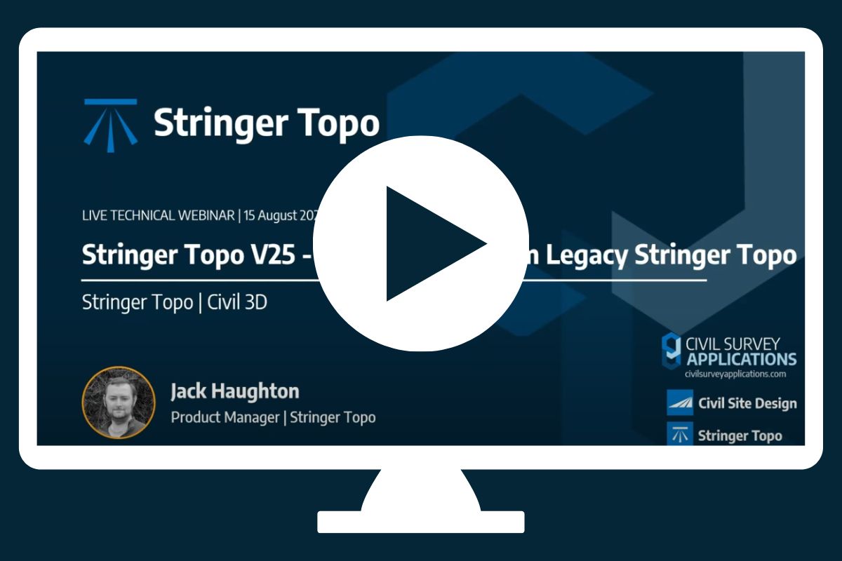
If you are currently using Legacy Stringer Topo and are interested in transitioning to the new dynamic version of Stringer Topo – but are concerned about migrating your current settings? These webinars will walk you through how easy the transition is and the workflow of transferring settings from Legacy Stringer to the current version based […]
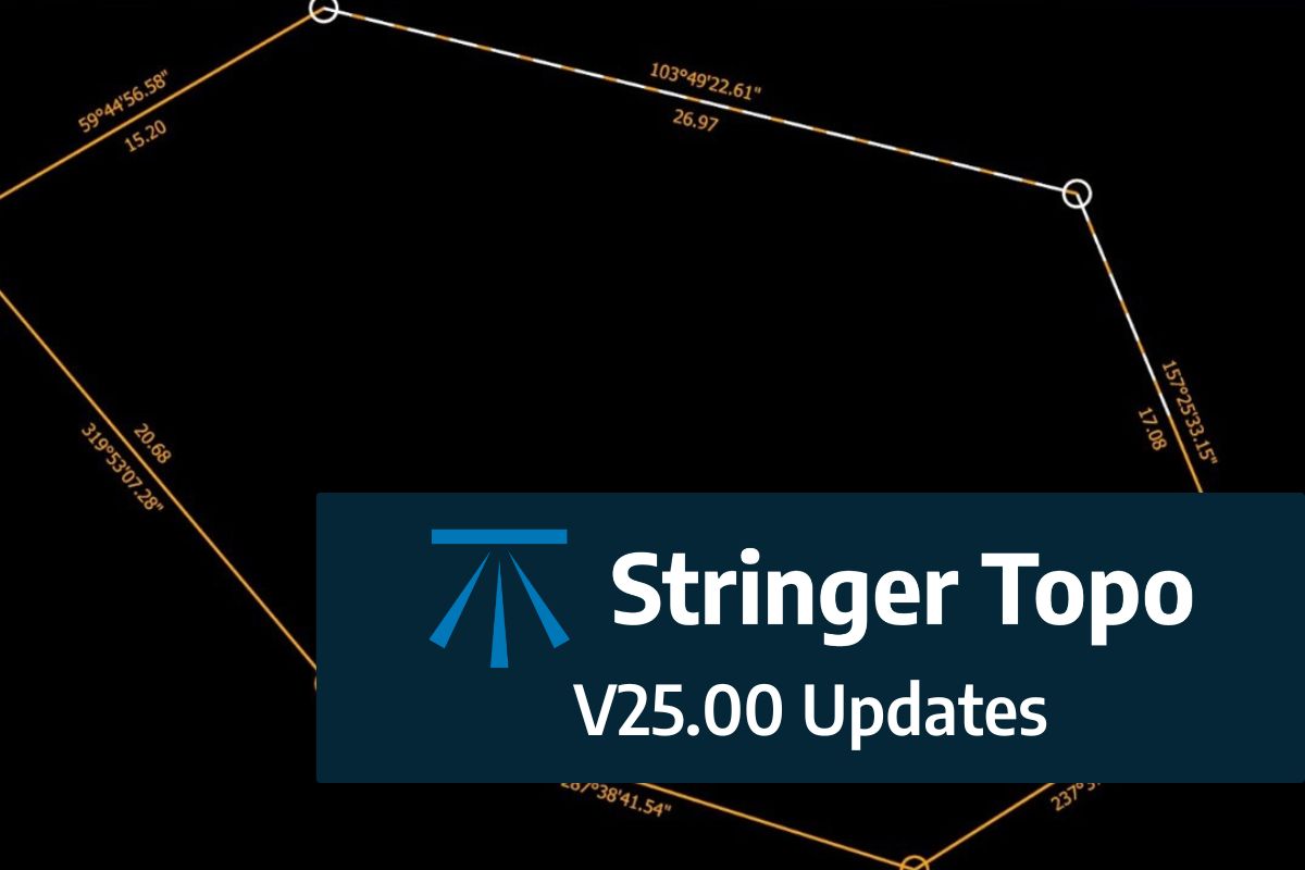
We are pleased to announce the release of Stringer Topo V25.00. This version includes new features and improvements that aim to streamline your surveys within the CAD environment. Stringer Topo V25.00 is available on the following platforms: AutoCAD 2019 to AutoCAD 2025 BricsCAD V22 to BricsCAD V24 Civil 3D 2019 to Civil 3D 2025 Traverse […]

The Stringer Topo V25.00 release will enable access to a Network version. Our adoption of a new Licensing system (QLM) allows us to reintroduce our popular Network version, which has been temporarily unavailable. For Stringer Topo customers who currently have Network licenses on software maintenance, you will be issued new Stringer Topo V25.00 Network license(s) […]
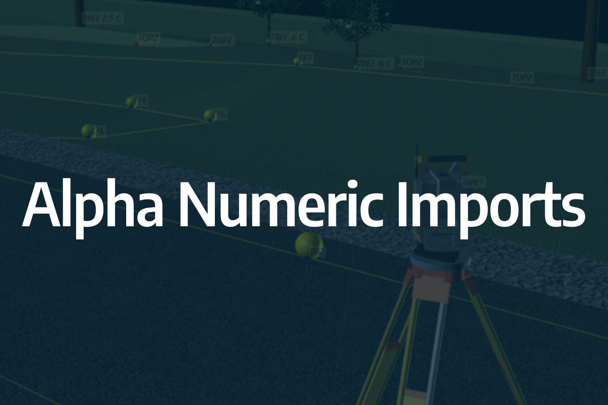
Modern survey equipment now stores more identifiers for a point than just a single integer value. Users can opt to identify the point using an alpha-numeric input. An alpha-numeric point is made up of a combination of alpha characters (eg : A, B, C) and numeric values (1, 2, 3, Etc). A common application of […]

In conjunction with our partners Civil Survey Solutions, we are excited to announce the following upcoming training courses for our products Civil Site Design and Stringer Topo. The courses are delivered by our experts and the training team at Civil Survey Solutions. As an Authorised Autodesk Training Center and Application Developer, you can trust that […]
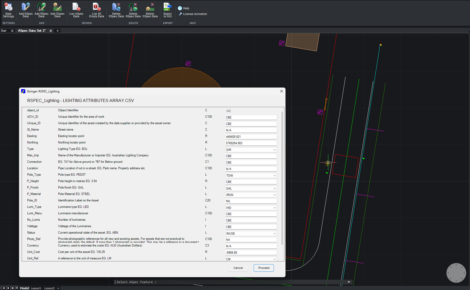
We are pleased to announce the release of Stringer ASpec V24.00. This version includes new features and improvements that aim to streamline ASpec data creation within the CAD environment. Stringer ASpec V24.00 is available on the following platforms: AutoCAD 2018 to AutoCAD 2024 BricsCAD V21 to BricsCAD V24 Civil 3D 2018 to Civil 3D 2024 […]

Since releasing Civil Site Design in the USA in 2007, we have experienced constant growth. A technical distributor, Logis LLC, was appointed in 2015, followed by the establishment of Civil Survey Applications LLC in 2019. Located in Florida, the team of 5 including three civil engineers, is committed to customising the software for the US […]
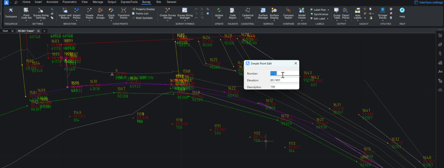
Stringer Topo provides multiple ways for customers to interact with and edit the points and survey strings that define your feature surveys. Using the Survey String Manager, you can select any point or survey string to view properties, and edit the selected object by right click or from the contextual ribbon. The Stringer Toolspace operates as a standard CAD palette, for you to create and edit points, point groups, survey strings and surfaces.
© All rights reserved. Civil Survey Applications