Latest News

Home|Latest News|

Stage Storage Tool: Smarter Basin Analysis with Interactive 3D Visualisation

By |2026-07-06T04:53:14+00:00July 6th, 2026|Civil Site Design, Latest News|

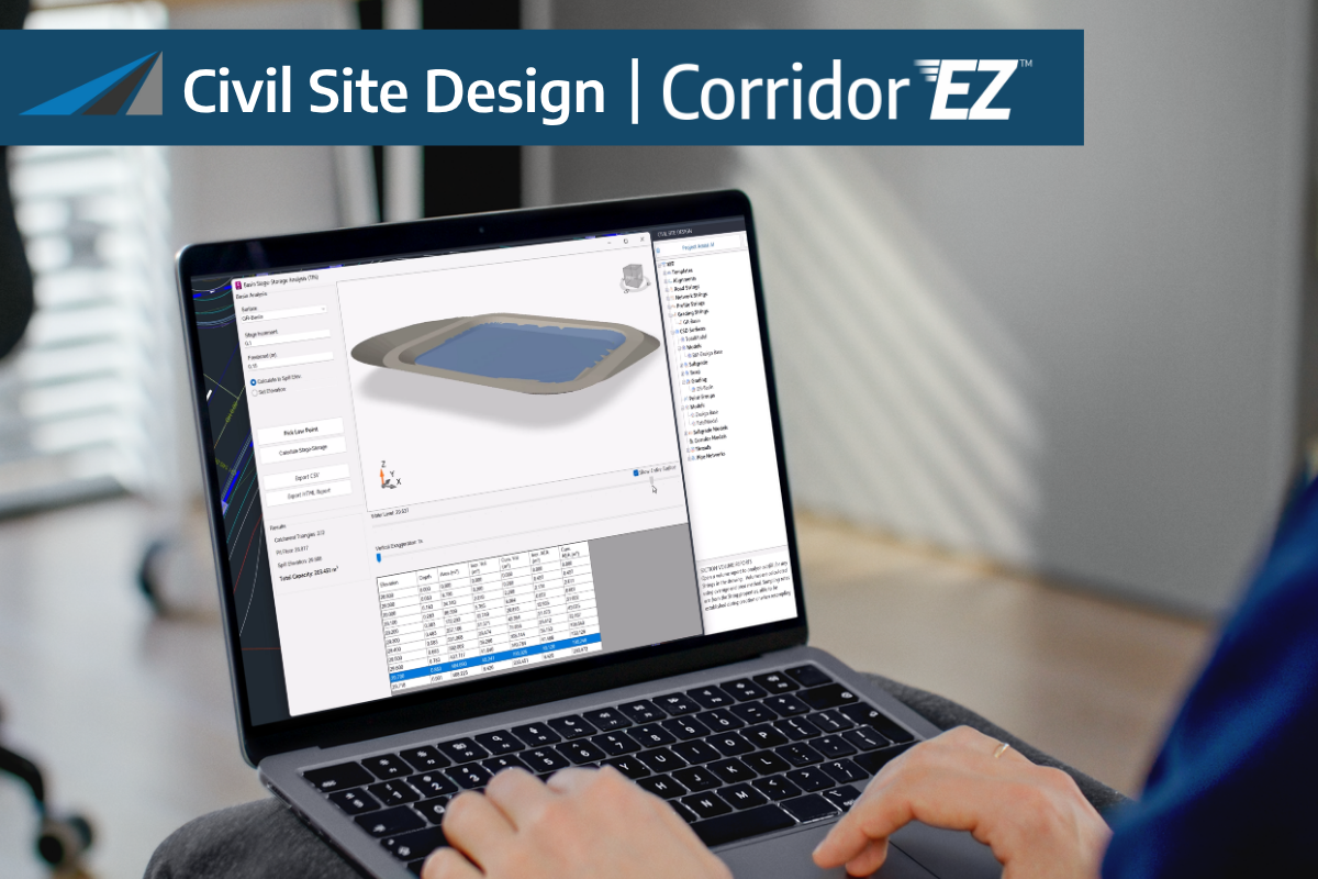
https://youtu.be/FwNAFh6Ev3Q?si=mnd2Uq0N2iZdVyv2 Understanding how water behaves within detention basins, wetlands, and storage depressions is critical to effective drainage design. However, calculating storage volumes, identifying spill elevations, and validating basin performance can often require multiple tools and time-consuming analysis. The new Stage Storage Tool in Civil Site Design v27 streamlines this process by automating basin

Civil Site Design v27: Smarter Workflows. Faster Design. Better Insights

By |2026-07-06T04:54:45+00:00July 6th, 2026|Civil Site Design, Latest News|

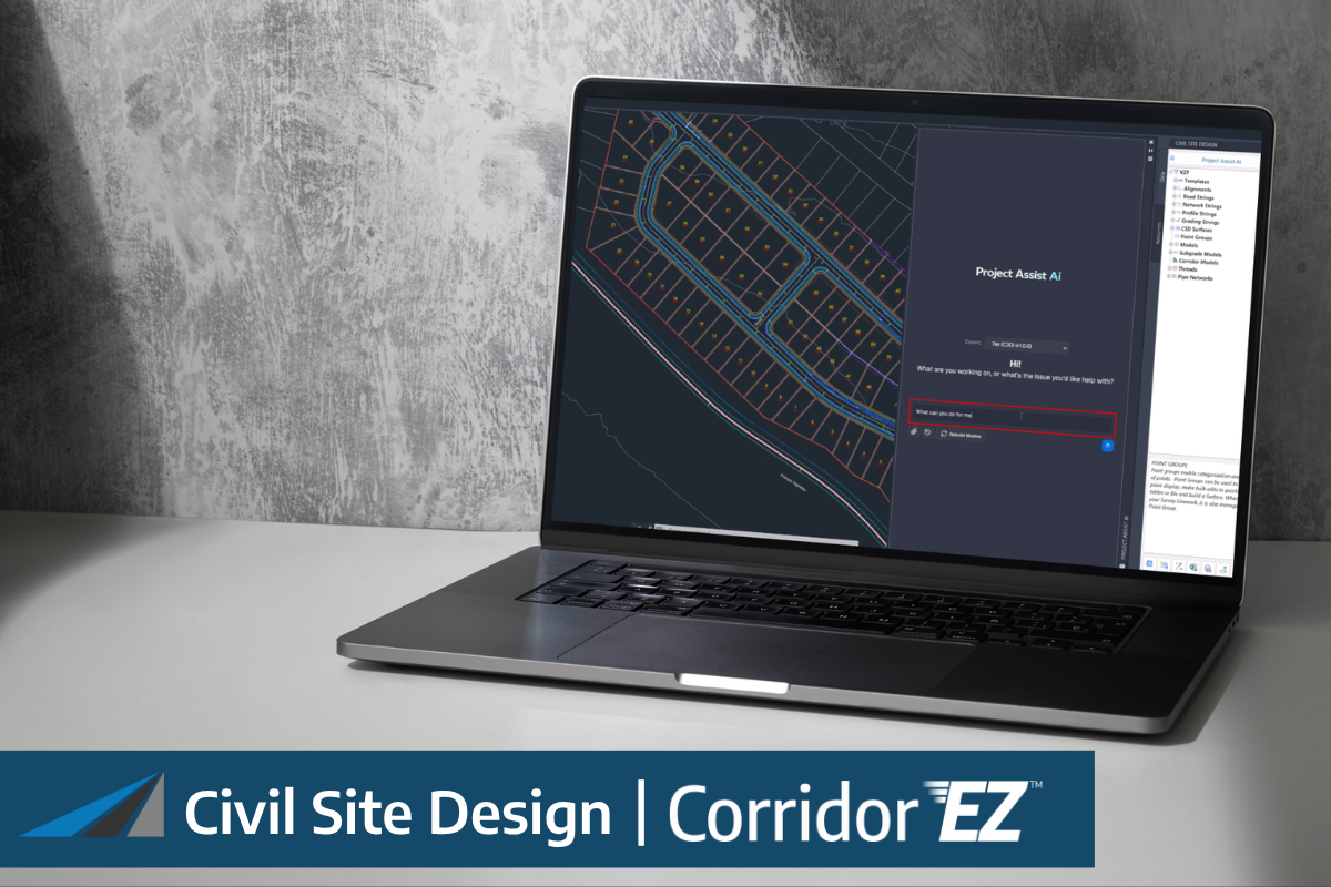
Civil Site Design v27 introduces major advancements across AI-powered workflows, drainage design, interactive model editing, and 3D visualisation. From intelligent project setup to advanced storage analysis, this release is designed to help engineers spend less time configuring tools and more time delivering great outcomes.

Intelligent Sections AI: Create Complex Conditional Cross Sections in Seconds

By |2026-07-06T03:24:27+00:00July 6th, 2026|Uncategorized, Civil Site Design, Latest News|

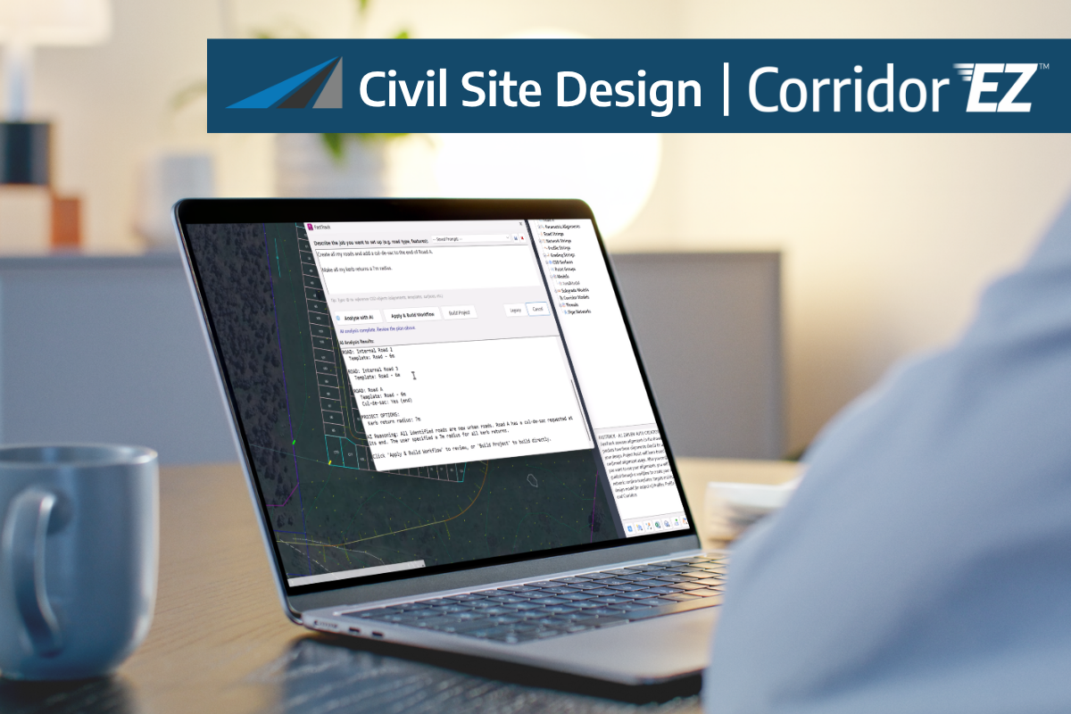
https://youtu.be/4kgczF6AwKw?si=5OMrDwM_34CModuc Designing conditional cross sections has traditionally been one of the more time-consuming aspects of road and corridor modelling. Configuring decision tables, defining design rules, and managing multiple conditional scenarios can quickly become complex, particularly on projects that require varying drainage treatments, batters, or retaining structures. With Intelligent Sections AI, new in Civil

Default Project Storage (Pack Mode) for New Projects

By |2025-12-15T20:19:02+00:00December 15th, 2025|Civil Site Design, Latest News, Stringer Topo|

You may love project storage/pack mode, have a love/hate relationship with it, or not be sure what it is all about. What is Project Storage (Pack Mode)? The idea of Project Storage (Pack Mode) in Civil Site Design/Stringer is to allow you to save everything inside your single drawing (.dwg) file, instead of maintaining a

Stringer Topo V26.20 | Release Highlights

By |2025-12-18T00:22:43+00:00December 15th, 2025|Latest News, Stringer Topo|

The newest release of Stringer Topo V26.20 has arrived. This update introduces powerful new commands focused on enhanced visualisation of your vertical design data and improvements to project consistency and setup efficiency. Stringer Topo V26.20 is available on the following platforms: Civil 3D 2025 to Civil 3D 2026 AutoCAD 2025 to AutoCAD 2026 BricsCAD

Keyboard Shortcuts for Civil Site Design

By |2025-12-16T06:36:34+00:00December 15th, 2025|Civil Site Design, Latest News|

Did you know we have some keyboard shortcuts in Civil Site Design? If you spend a good amount of your design in the Vertical Grading Editor or regularly run key commands, such as open Model Viewer, you might be looking at some good time savers using keyboard shortcuts. Less Navigating, More Designing You can

Survey Defaults – Improvements to Sharing Settings

By |2025-12-15T12:49:52+00:00December 15th, 2025|Latest News, Stringer Topo|

The latest update to Stringer Topo enhances the Survey Defaults form by including export and import options to share between drawings/computers in your organisation. What does the Survey Defaults form do? The Survey Defaults form provides you with a centralised location for key settings controls: coordinate systems, point styles, code sets, survey line settings and

Auto Create Grading Strings | New Feature

By |2025-12-15T13:25:48+00:00December 15th, 2025|Civil Site Design, Latest News|

We’ve added a new tool to streamline the grading creation workflow: Auto Create Grading Strings. This tool automates the generation of multiple grading strings in a single, efficient operation. The Auto Create Grading Strings augments the current Create Grading command by offering robust batch processing, sequential naming, and multiple initial elevation

Add Model High/Low Points

By |2025-12-15T13:33:06+00:00December 15th, 2025|Civil Site Design, Latest News|

A major part of your design process is to identify low points and to either redesign to move/remove them or to include stormwater infrastructure to capture and redirect the flows. Previously you have relied upon the contour data, adding water drops and reviewing your vertical design and cross sections to determine

Drape Objects

By |2025-12-15T10:31:11+00:00December 15th, 2025|Development, Latest News, Stringer Topo|

A much-requested command from customers has been to provide a tool that converts a 2D polyline into a 3D polyline, by draping it onto a surface. This is useful for draping design elements to represent controls such as limit of works, matching to existing features and to provide 3D information for further design. If you

Go to Top