It can be frustrating having survey data that has a common Z value on the objects – zero. Manual editing of a survey drawing can be very time-consuming, elevating objects before design can even begin to have a working base surface to design on.
With the new Convert 2D Objects, Civil Site Design can read your 2D objects, such as text or block attributes and convert them into dynamic, elevated Cogo Points. The result? A live surface onto which design can begin.
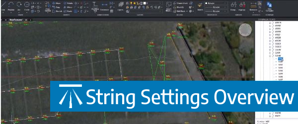
The Survey String Settings command is key to controlling how your Point Codes are used in the creation of breaklines, addition of offsets and the creation of 2D and 3D linework.
Stringer Topo V24.20 has been released to support the BricsCAD V24 (as well as current releases of Autodesk software), including a number of new and improved features.

We've enhanced the superelevation tools to make it easier for you to quickly and easily assess output of rules-based superelevation, and to make it simple for you to use this tool to vary pavement crossfalls and widths.

Civil Site Design, Stringer Topo & Corridor EZ V24.10 forms will accomodate 4K text scaling.