Our streamlined design process shaves hours and days off your Civil 3D projects, including the creation of a Civil 3D Corridor complete with multiple regions, target mapping, and assemblies, at the click of a button.
We always aimed to make the corridor like you would, reusing and consolidating similar assemblies wherever possible.
So, for the V26 release we focused on two aspects of the Corrodor EZ Corridor Exchange process:
- Make it faster
- Consolidate the assemblies
Make it faster
When we make the corridor we are creating all the assemblies you need, gathering up all the target mapping and setting up the parameter overrides, so your design is exactly what you expect.
We’ve worked hard to optimize this and it’s now 50% faster than it used to be to get everything together and push it into the corridor build process.
Consolidate the Assemblies
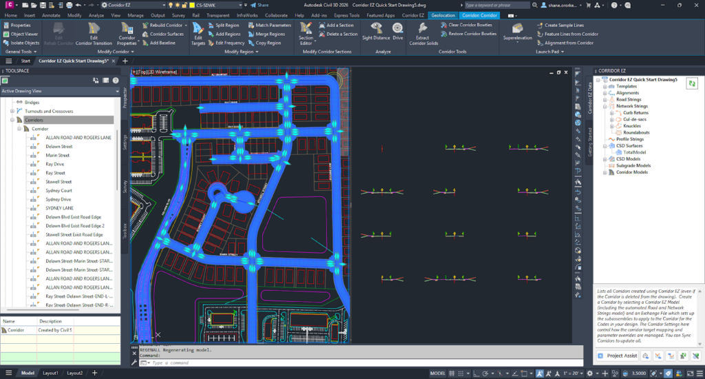
We have consolidated the assemblies created, so that the number of assemblies we create mimics the number of assemblies you would (give or take a few).
In a straightforward corridor containing multiple roads of similar shape, curb returns, cul-de-sacs and knuckles, expect to see between 7 and 13 assemblies. This makes it easy for you to carry on with your corridor design after using Corridor EZ and navigate through the various regions and baselines.
This compares with over 100 for the same model created in earlier versions of Corridor EZ.

The latest releases of Civil Site Design V26.10 and Stringer Topo V26.10 are here! These updates focus on addressing customer-reported issues, improving pack mode performance, and introducing new features and efficiency enhancements for working with COGO points and Survey Strings. Civil Site Design V26.10 is available on the following platforms: Civil 3D 2021 to Civil […]

Field attributes provide Surveyors with the ability to include additional data in their Survey pickup of points. With Stringer Topo V26 users can now include additional data (attribute data) with their COGO points and survey strings for review, editing and output from their drawing. There are a number of ways to add attributes to your […]

