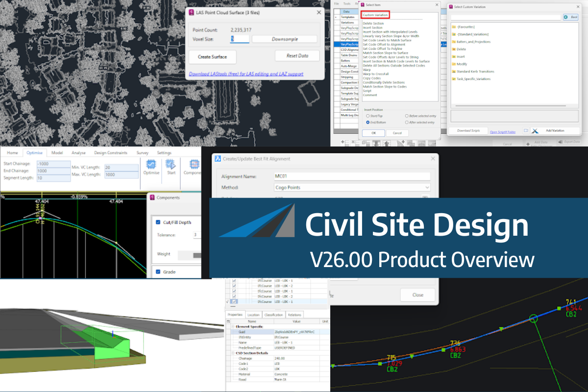
Civil Site Design/Corridor EZ V26 introduces support for IFC 4.3 export, giving users a powerful new way to share detailed 3D models with full classification and geometry data. This enhancement allows designers to export corridor models, road elements, and subgrade components as fully structured, BIM-ready files compatible with a wide range of IFC viewers and collaboration platforms.
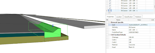
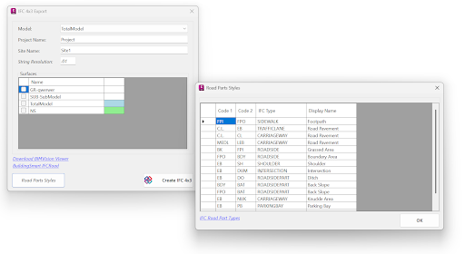
IFC 4.3 includes road-specific entities, enabling accurate representation of materials, layer thicknesses, and geometry. Users can automate the assignment of Road Part Types from the design cross section elements, ensuring compliance with IFC BIM requirements.
With the new wildcard option for assigning subgrade layers to codes in the Civil Site Design Template Editor, it is quick and easy to represent complex template conditions like benches or retaining walls in the IFC export.
The result? Smarter data exchange between design teams, asset owners, and contractors—ensuring models remain useful throughout the project lifecycle. With tools like BIM Vision or other IFC viewers, users can inspect the full structure of a model, view component properties, and verify that all key elements are present before construction.
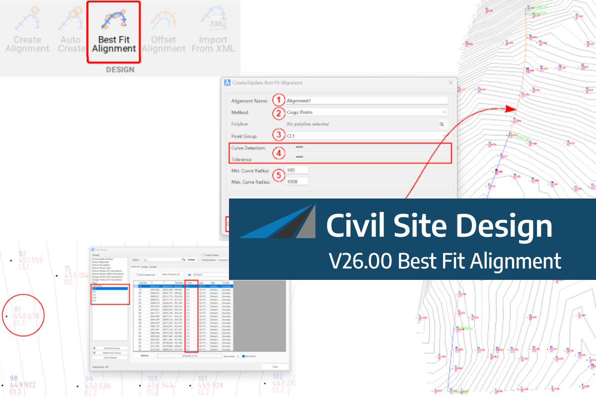
A new feature of Civil Site Design V26 is the Best Fit Alignment command. This command is available to AutoCAD and BricsCAD users and allows you to create an alignment based on Cogo Point or polyline data. When the command is run, the Best Fit algorithm analyses the Cogo Points in the specified Point […]

One of the exciting new features in the Civil Site Design V26 and Stringer Topo V26 release is the Surface from LAS command. Often LiDAR and point cloud data is saved as a LAS file, which previously required interpreting in another software prior to being imported to create a surface. This new command allows you […]
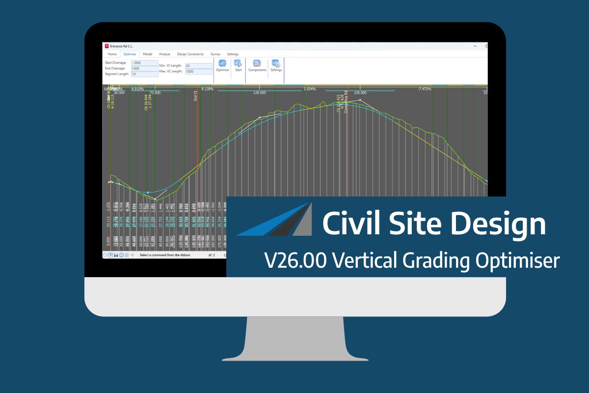
An exciting new tool in Civil Site Design/Corridor EZ v26 is the Vertical Grading Optimizer which can create vertical design profiles based on the parameters you set. Previously, the vertical best fit design profile was based on matching closely to the terrain (within preset cut/fill depths) and adding vertical curves. Mostly, you would remove these […]