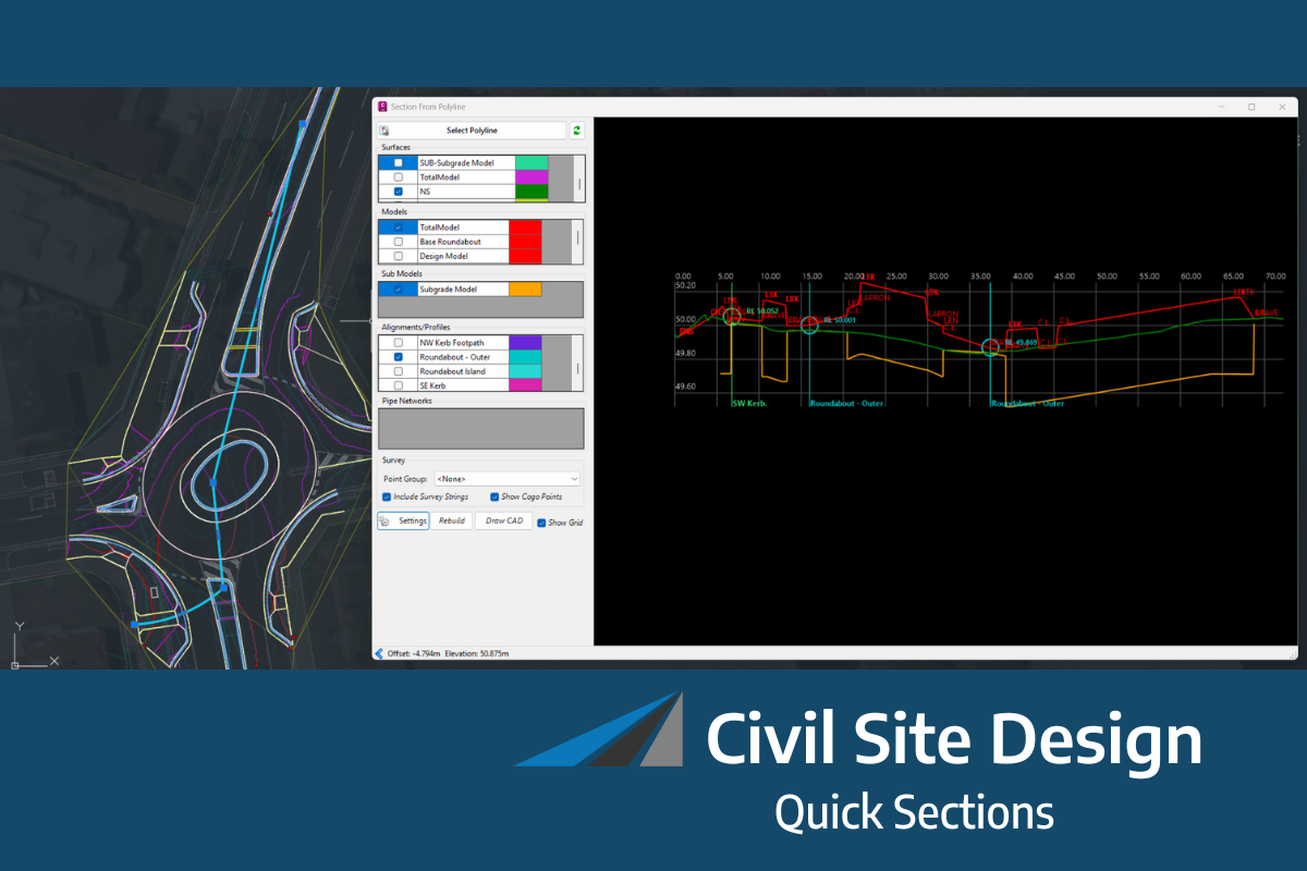
Viewing height or terrain data on your Civil Site Design & Civil 3D surfaces, is now possible with the new Surface Analysis in Model Viewer.
Found in Toggle Display, users can create quick and simple terrain colouring to view height ranges on surfaces, including design surfaces and models. Using the same technology, Road String slope and crossfall analysis can also be applied to the design.
Found in Model Viewer, the new Catchment Analysis tool has been developed to help users review surface and model data to analyse potential Ponding, Catchment areas and Low Points. With this new technology users are able to quickly assess surfaces and models within the project and determine if surface flows will meet the design requirements.
Model Viewer – Surface Analysis
Model Viewer – Catchment Analysis
The latest releases of Civil Site Design V26.10 and Stringer Topo V26.10 are here! These updates focus on addressing customer-reported issues, improving pack mode performance, and introducing new features and efficiency enhancements for working with COGO points and Survey Strings. Civil Site Design V26.10 is available on the following platforms: Civil 3D 2021 to Civil […]
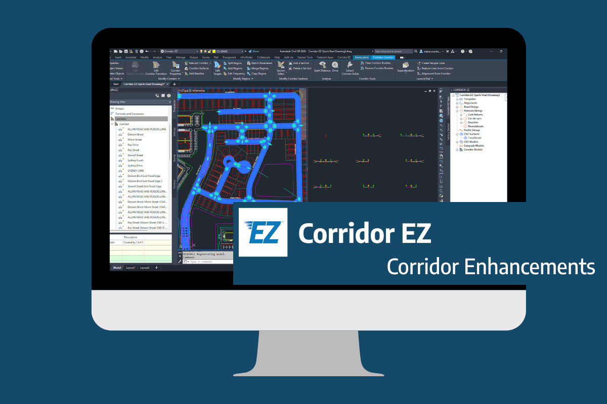
Our streamlined design process shaves hours and days off your Civil 3D projects, including the creation of a Civil 3D Corridor complete with multiple regions, target mapping, and assemblies, at the click of a button. We always aimed to make the corridor like you would, reusing and consolidating similar assemblies wherever possible. So, for the […]


