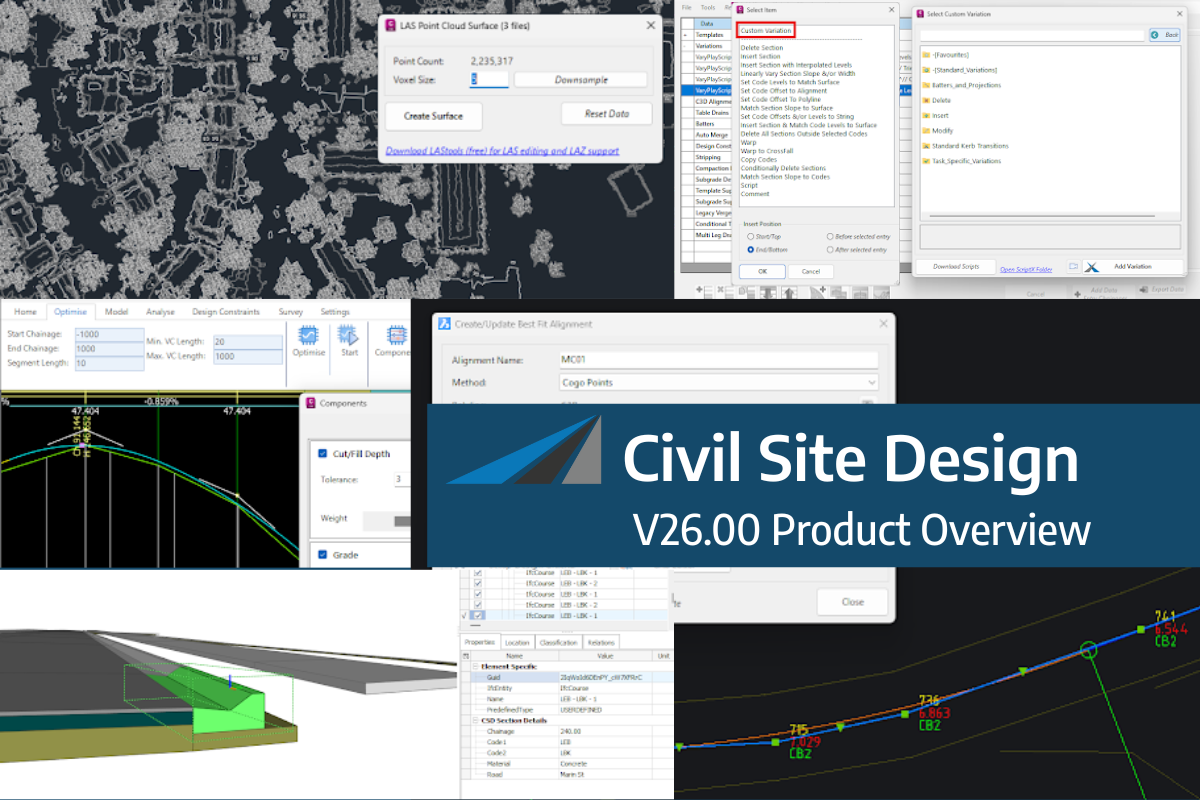
Viewing height or terrain data on your Civil Site Design & Civil 3D surfaces, is now possible with the new Surface Analysis in Model Viewer.
Found in Toggle Display, users can create quick and simple terrain colouring to view height ranges on surfaces, including design surfaces and models. Using the same technology, Road String slope and crossfall analysis can also be applied to the design.
Found in Model Viewer, the new Catchment Analysis tool has been developed to help users review surface and model data to analyse potential Ponding, Catchment areas and Low Points. With this new technology users are able to quickly assess surfaces and models within the project and determine if surface flows will meet the design requirements.
Model Viewer – Surface Analysis
Model Viewer – Catchment Analysis
Civil Site Design/Corridor EZ V26 introduces support for IFC 4.3 export, giving users a powerful new way to share detailed 3D models with full classification and geometry data. This enhancement allows designers to export corridor models, road elements, and subgrade components as fully structured, BIM-ready files compatible with a wide range of IFC viewers […]
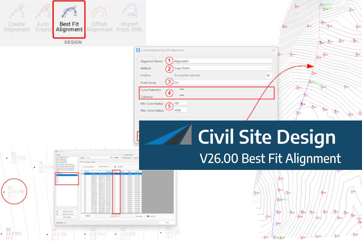
A new feature of Civil Site Design V26 is the Best Fit Alignment command. This command is available to AutoCAD and BricsCAD users and allows you to create an alignment based on Cogo Point or polyline data. When the command is run, the Best Fit algorithm analyses the Cogo Points in the specified Point […]
One of the exciting new features in the Civil Site Design V26 and Stringer Topo V26 release is the Surface from LAS command. Often LiDAR and point cloud data is saved as a LAS file, which previously required interpreting in another software prior to being imported to create a surface. This new command allows you […]


