To coincide with the Autodesk 2024 release, Civil site design v24 has been released featuring a number of new and improved features, here is an overview of what’s in this release.
A Civil Site Design toolspace has been developed from which users can design and edit & manage the roads and modelling content within their projects. The dockable palette will give users the benefit of contextually being able to access the majority of civil site design functionality via the toolspace which would normally be found in multiple ribbon tabs.
Found in the Toolspace, users can now create Civil Site Design surfaces from 2D objects in the drawing. This feature is great for designers in receipt of 2d survey data – where no 3D information is present. Creating CSD cogo points from your 2d data, Civil Site Design immediately builds a surface and enables users to being designing faster.
The template editor has undergone a visual refresh with some additional options to now change the display and manage the sharing of templates. Found under the file pulldown, the template packing provides teams with the ability to exchange selections of templates and store them for specific local authorities or stakeholders.
Model Viewer now includes some terrain analysis features which will shade your civil site Design and Civil 3D surface elevations and highlight road slope and crossfall ranges.
A selection of Catchment analysis tools has also been added where users can now analyse and display ponding, catchments and low points within any surface in civil site design, outputting the analysis back to the drawing.
If you would like to read more information on this release – click here
You will have access to the update if you have a current annual subscription or a active maintenance plan on your perpetual license. If you do not currently have an active maintenance plan, please email us at sales@civilsurveysolutions.com.au to arrange an upgrade to your account.

Field attributes provide Surveyors with the ability to include additional data in their Survey pickup of points. With Stringer Topo V26 users can now include additional data (attribute data) with their COGO points and survey strings for review, editing and output from their drawing. There are a number of ways to add attributes to your […]
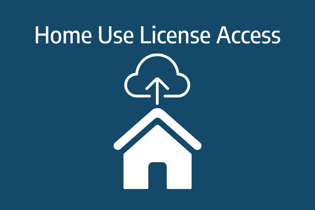
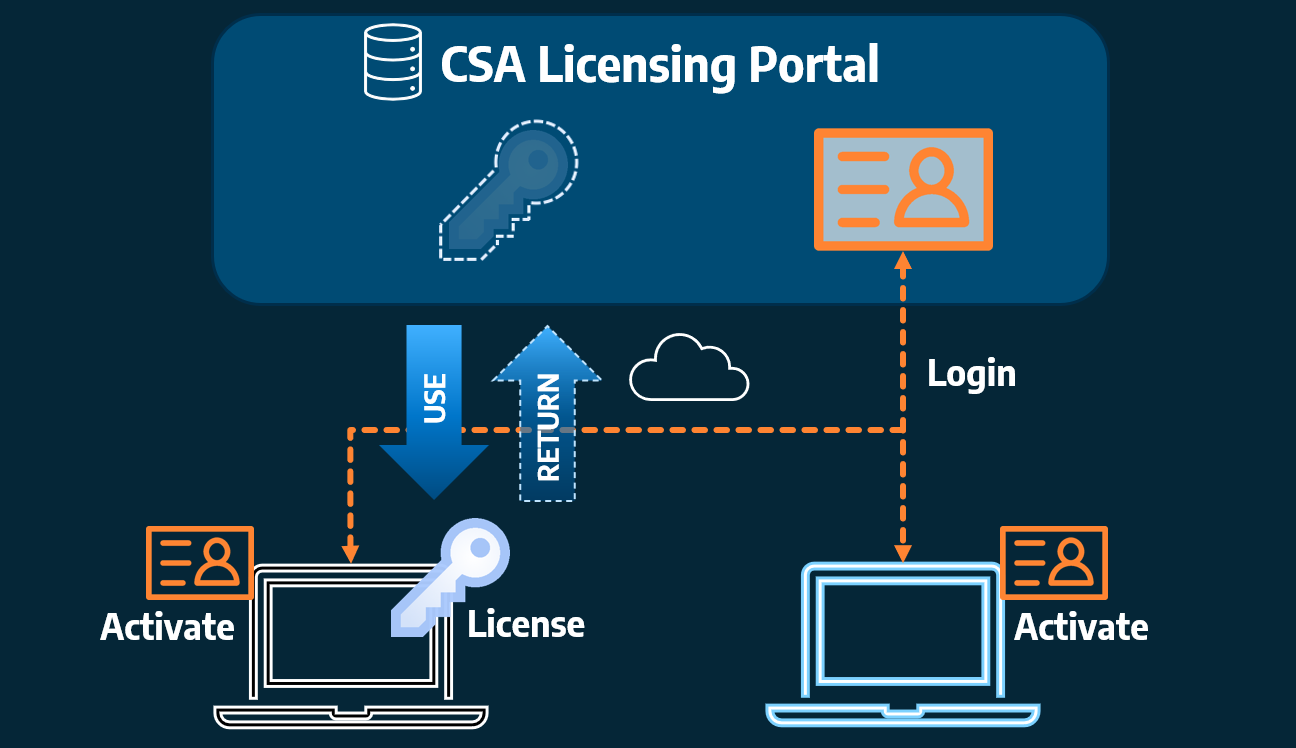
Home Use Licensing was provided to customers to support access to a single license from two computers, to support non-concurrent office and home use of the software. Prior to the release of our V26 licensing models, Home Use License access was provided via the issuing of two license keys: one for office use and one […]