Bulk earthworks play a key part on many projects and determining the volumes can be a time consuming process. Released in Civil Site Design V23.10, the Subgrade Model Manager (SMM) was developed to assist users with creating subgrade surfaces of any model within the project.
With the SMM, generating the base surface of any model is automatic with a full set of tools to manually refine layers and extents, all in a live 3D rendered environment. Surface creation is immediate for volume surface comparisons and/or sharing.
In this webinar we demonstrate how to open any models in the SMM, make changes to the subgrade model and create subgrade surfaces.
- 0:00 Introduction & Discussion
- 5:51 Creating & modifying a Subgrade Model
- 9:56 Navigating in the environment
- 11:47 Display Toggles
- 17:25 Display Manager
- 19:48 Omitting & Including Sectional Breaklines
- 24:47 Omitting & Including Linear Breaklines
- 29:10 Surface Resolve
- 32:39 User Breaklines
- 36:30 Splitting Linear Breaklines
- 38:26 Changing templates and Recomputing
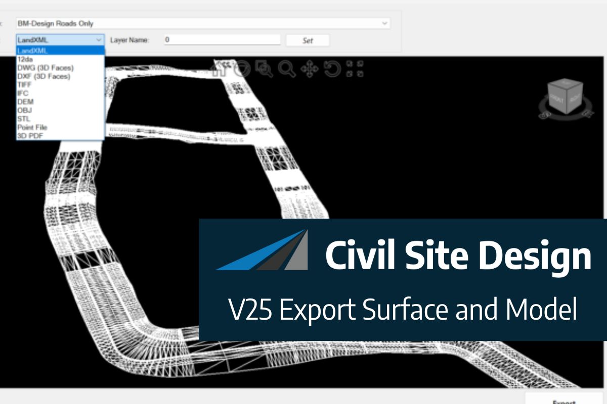
- 45:03 Exporting to 3D PDF, dwg & DXF
- 45:24 Exporting 3D Polylines to drawing
- 45:56 Exporting IFC files
- 47:19 Exporting Civil 3D surfaces
- 48:27 Audience Q&A

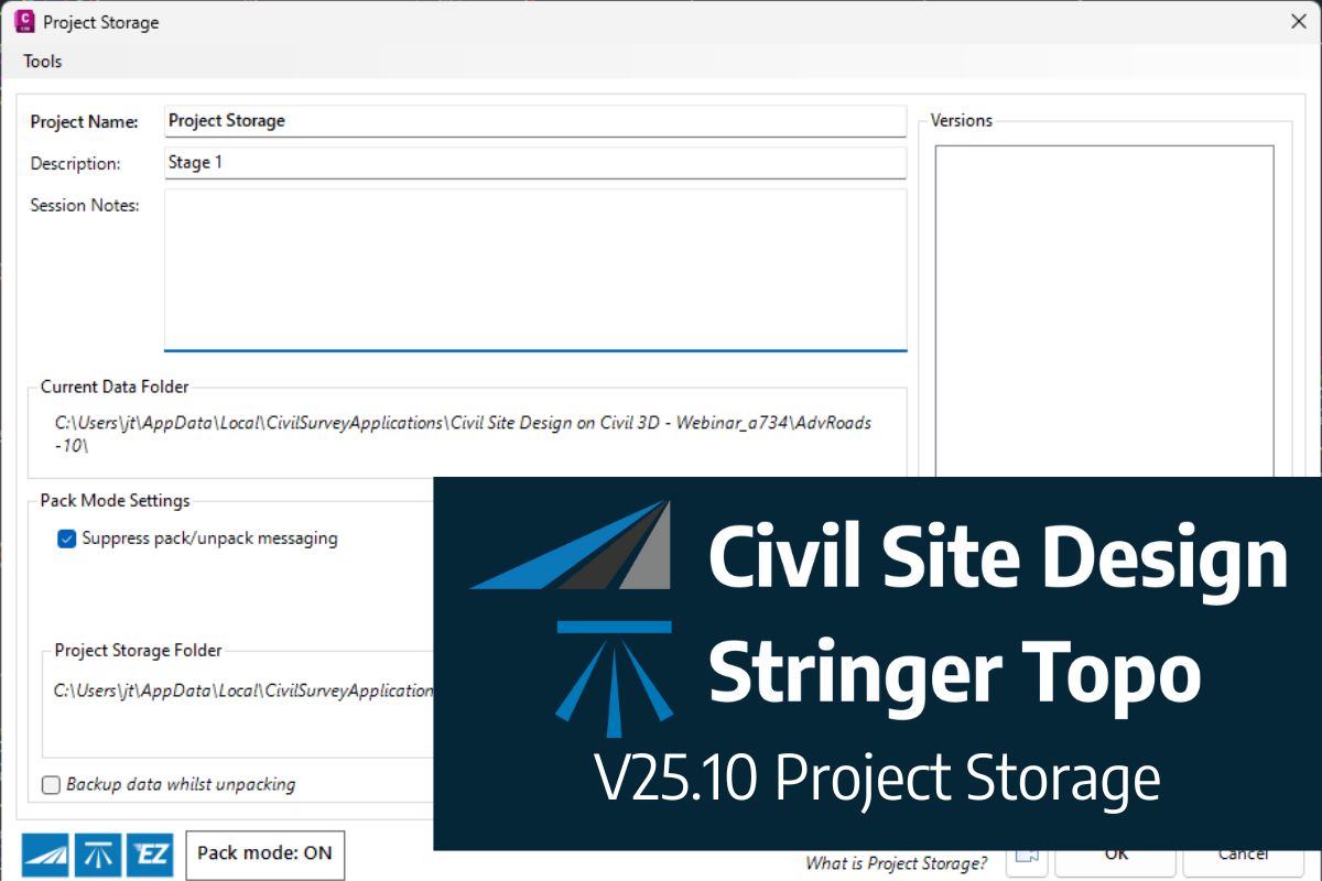
Due to Autodesk’s adoption of .NET8 architecture in their 2025 release, we have had to change to a new licensing system developed by Soraco (QLM). We are confident that a transition to the new licensing system will not inconvenience customers. A new customer portal is available for customers to manage their V25 licenses. For computer-based single-user licensing, […]