In Civil Site Design V24.10, the Design Data Form has undergone some ergonomic improvements and seen the addition of a new Design Variation – Offset by Polyline.
Users can now double click in the entry fields to add a new entry. and we added a Recalculate button at the top of the form to recompute all Design Data Form entries. This is very useful if edits are made to polyline and/or alignment geometry with the form open – currently recalculating required an edit to the form entries to generate the Add/Update button.
Yes, a new Design Variation – Offset by Polyline. If you have used Offset by Alignment / Match Code to Alignment, then you will already be familiar with moving a code offset to match a Civil Site Design or Civil 3D alignment. The additional benefits of this variation are:
- You do not need to create an alignment from your polyline to match an offset
- Additional offset distance values can be applied giving you flexibility to offset from the polyline
- With the Max offset from CL check, you can search within a specified range
- The Offset Method option of nearest or furthest can be applied when the polyline is found multiple times at a single cross section

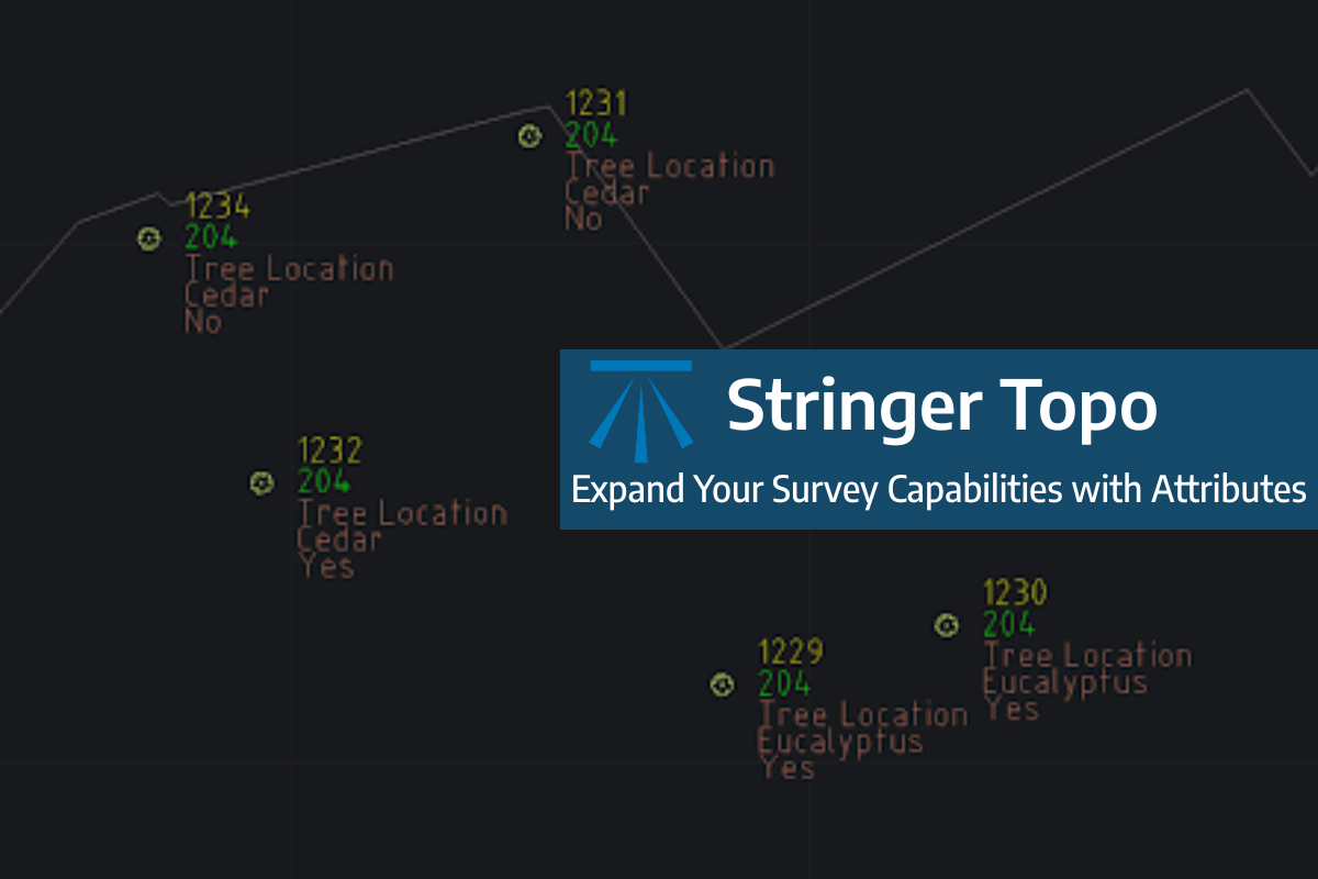
Field attributes provide Surveyors with the ability to include additional data in their Survey pickup of points. With Stringer Topo V26 users can now include additional data (attribute data) with their COGO points and survey strings for review, editing and output from their drawing. There are a number of ways to add attributes to your […]
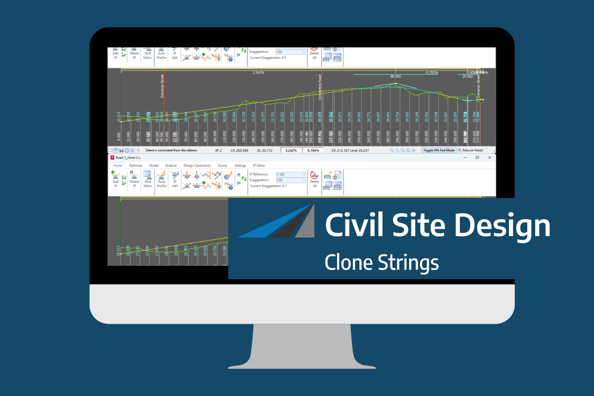
In the Civil Site Design v26 release for AutoCAD and BricsCAD, a new Clone String command has been added. This command allows users to create a clone of an existing string as a profile string including the alignment and vertical profile. This command turns what was a multi-step process into a one step process. You […]
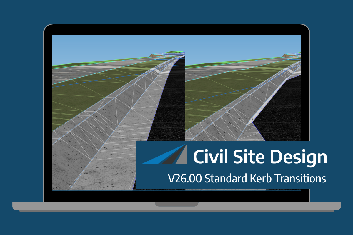
Civil Site Design/Corridor EZ v26 delivers a major upgrade to its Custom Variations functionality with the introduction of Standard Kerb Transitions. Since v25, Custom Variations have been a core feature of Civil Site Design/Corridor EZ, allowing users to apply conditional logic and geometry overrides to cross sections at specified chainages. With v26, this functionality is […]
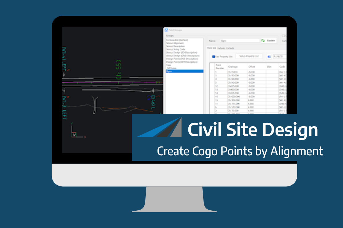
Civil Site Design V26 introduces the new command Import Cogo Point File (by Alignment). This tool allows you to import a file that specifies chainage and offset along an alignment for points to be created. The command is available for Civil Site Design and Stringer across all base platforms. The command can be found at […]


