With many users now transitioning over to devices which support 4K display, our development team have successfully updated Civil Site Design, Stringer Topo & Corridor EZ V24.10 forms to accomodate 4K text scaling.
Whilst some forms may display differently to previous releases, this was done to overcome issues with the previous form layout that restricted 4K compatibility. As you operate, some dropdown picklists may require resizing, however, if you find any forms where the width of the picklist affects your ability to select the correct item, please contact the Helpdesk with a screenshot & description of the form with the issue.
Legacy features, such as Setout, Multi Section Batters and Legacy Cross Section Plotting, are unable to be supported.

Field attributes provide Surveyors with the ability to include additional data in their Survey pickup of points. With Stringer Topo V26 users can now include additional data (attribute data) with their COGO points and survey strings for review, editing and output from their drawing. There are a number of ways to add attributes to your […]
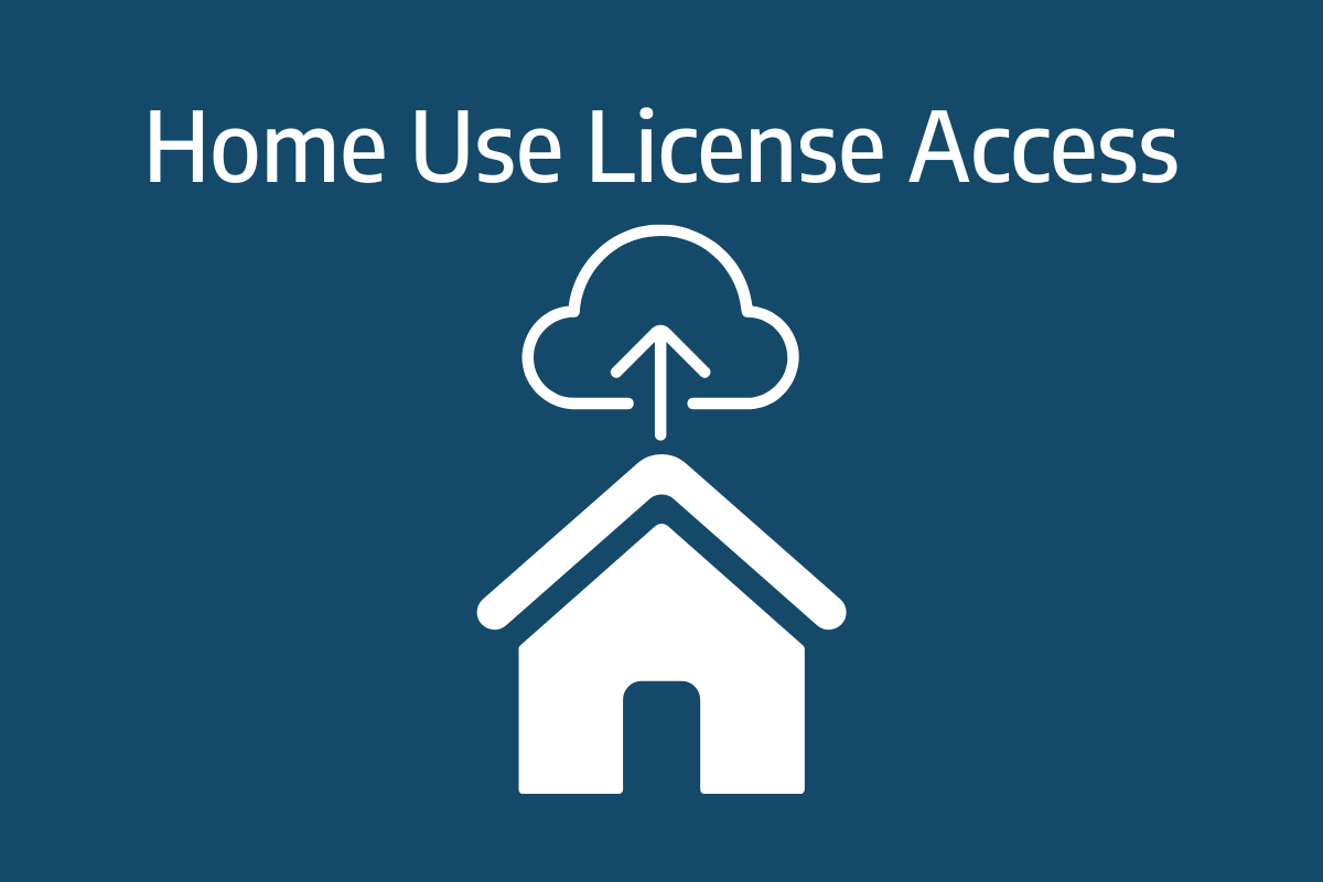
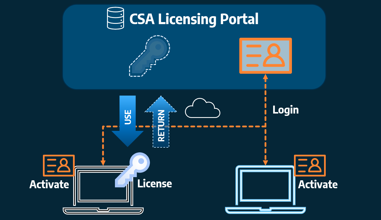
Home Use Licensing was provided to customers to support access to a single license from two computers, to support non-concurrent office and home use of the software. Prior to the release of our V26 licensing models, Home Use License access was provided via the issuing of two license keys: one for office use and one […]