Reference Profiles | Introduction

- Creating Strings describing the left/right kerb lines of your road, enabling design control of the kerb lines left/right of your road where you want, and otherwise referencing the Road centreline design
- Automatically applying changes to the road cross sections based on the Reference Profile elevations
- Automating the process of projecting these onto your road alignments as Civil 3D profiles, where it is required to show the kerb profile design/s along with, or instead of, the centreline design
Reference Profiles can be created individually or all at once using the Auto Create function.
You pick all the roads you need to create profiles for, the codes you are designing from the road, whether you want to immediately create profile views, and whether to create projected profiles.The command will do the rest, setting up the ranges to reference the road centreline, adding the vertical connections through intersections, applying the new kerb controls to the road and optionally producing Civil 3D profiles.
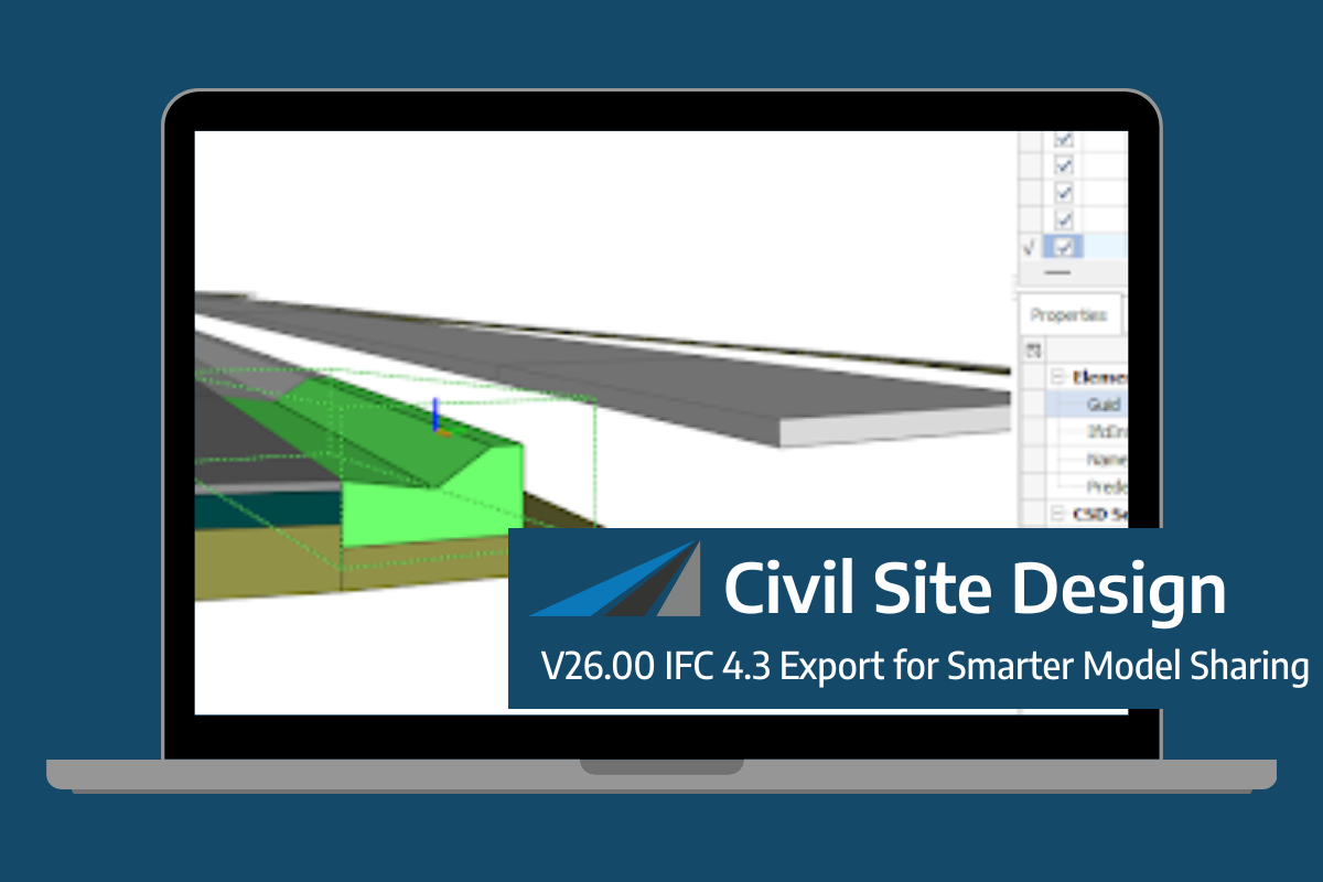
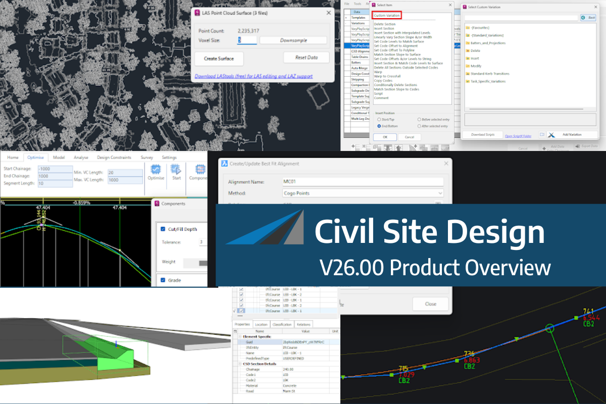
Civil Site Design/Corridor EZ V26 introduces support for IFC 4.3 export, giving users a powerful new way to share detailed 3D models with full classification and geometry data. This enhancement allows designers to export corridor models, road elements, and subgrade components as fully structured, BIM-ready files compatible with a wide range of IFC viewers […]
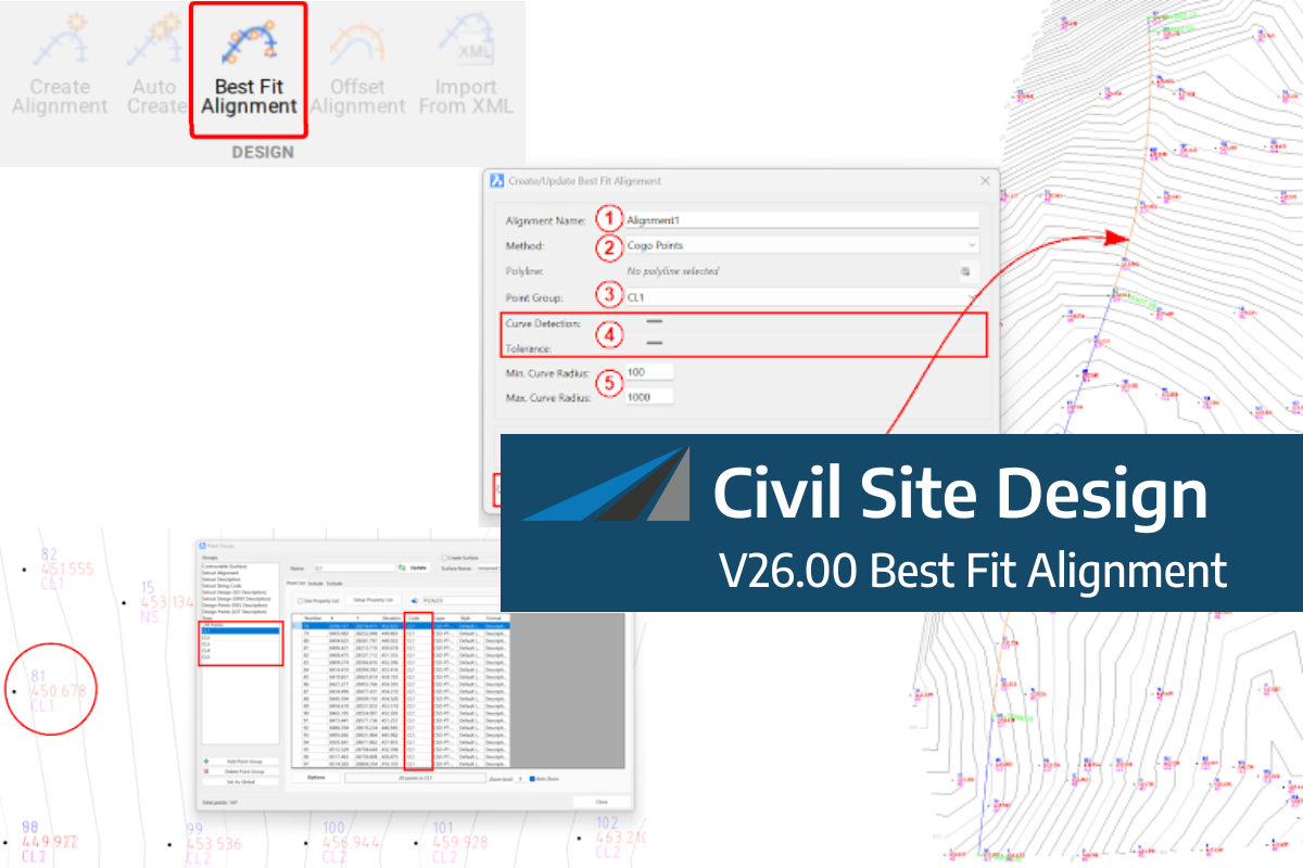
A new feature of Civil Site Design V26 is the Best Fit Alignment command. This command is available to AutoCAD and BricsCAD users and allows you to create an alignment based on Cogo Point or polyline data. When the command is run, the Best Fit algorithm analyses the Cogo Points in the specified Point […]

One of the exciting new features in the Civil Site Design V26 and Stringer Topo V26 release is the Surface from LAS command. Often LiDAR and point cloud data is saved as a LAS file, which previously required interpreting in another software prior to being imported to create a surface. This new command allows you […]