Reference Profiles | Introduction

- Creating Strings describing the left/right kerb lines of your road, enabling design control of the kerb lines left/right of your road where you want, and otherwise referencing the Road centreline design
- Automatically applying changes to the road cross sections based on the Reference Profile elevations
- Automating the process of projecting these onto your road alignments as Civil 3D profiles, where it is required to show the kerb profile design/s along with, or instead of, the centreline design
Reference Profiles can be created individually or all at once using the Auto Create function.
You pick all the roads you need to create profiles for, the codes you are designing from the road, whether you want to immediately create profile views, and whether to create projected profiles.The command will do the rest, setting up the ranges to reference the road centreline, adding the vertical connections through intersections, applying the new kerb controls to the road and optionally producing Civil 3D profiles.
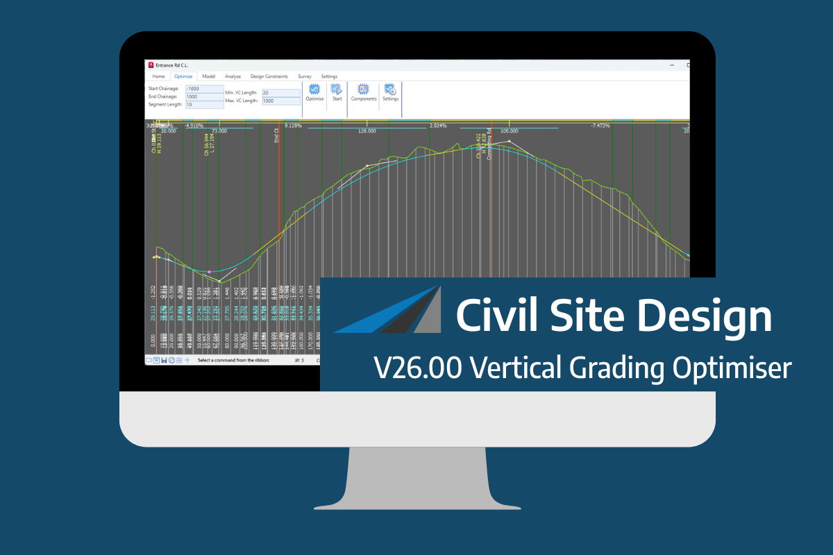
An exciting new tool in Civil Site Design/Corridor EZ v26 is the Vertical Grading Optimizer which can create vertical design profiles based on the parameters you set. Previously, the vertical best fit design profile was based on matching closely to the terrain (within preset cut/fill depths) and adding vertical curves. Mostly, you would remove these […]
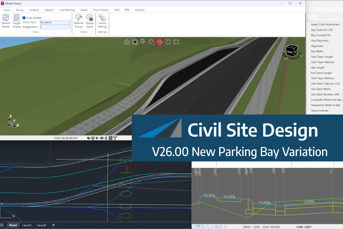
We know parking bays come in all shapes and sizes, and that many of them deserve an independently designed string (with cross sections attached to the string to describe the kerb shape of the parking bay). For those parking/bus or widening bays that can be readily described with cross section edits, we’ve got you covered […]
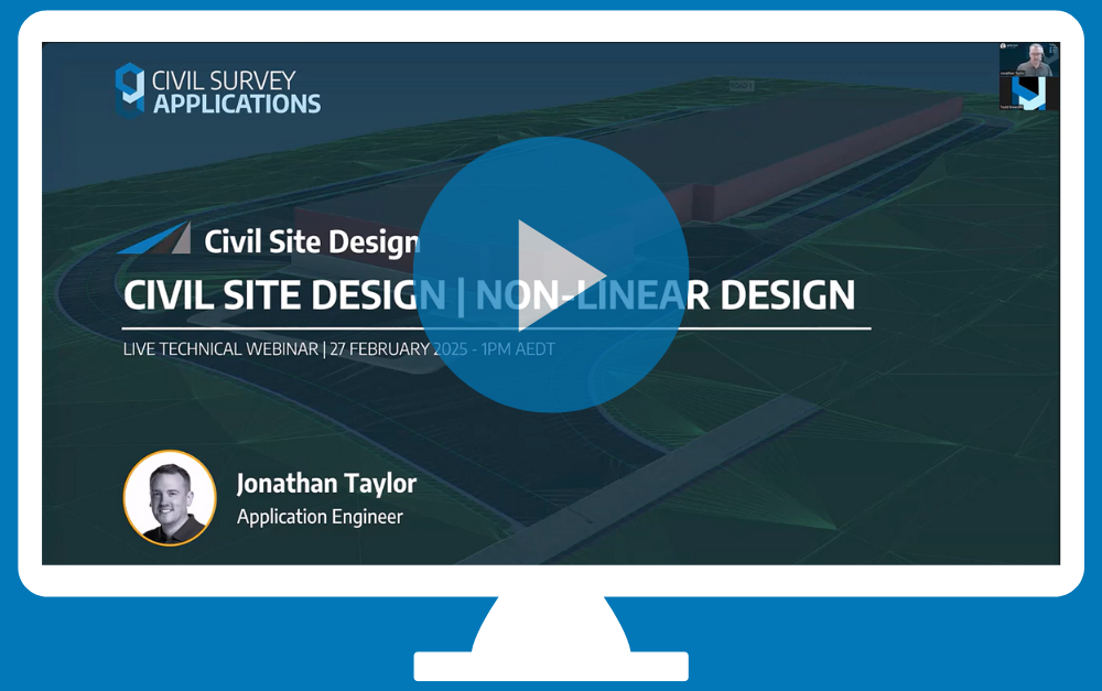
Non-linear design is when a typical, cross section-based design does not generate the intended result. Typically for designs that are non-parallel, such as driveways, car parks, commercial / Industrial, residential & retaining wall projects. In this webinar, our expert, Jonathan Taylor will show you how to use the Civil Site Design tools to tackle these […]

The Civil Site Design Driveway Checker can be used to assist designers with determining clashes on existing & proposed Civil Site Design project designs. In this webinar, our expert, Jonathan Taylor, will be focusing on using the Driveway Checker to check B85 & B99 vehicles over different crossing points on the project, and exploring the […]