Sectional Volumes | Introduction

- Live Subgrade View: When you select a chainage on a string, the tool presents a live view of the subgrade template applied to that specific string. Additionally, polygons representing the different areas of cut and fill are displayed.
- Visualisation Tools: The settings tab provides options to toggle the display of subgrade polygons and separate polygons, allowing for clearer visualisation of cut and fill areas.
- Automatic Intersection Trimming: The software automatically trims out the intersection on any road string. This means that the volume calculations are not affected by the subgrade for the kerb/curb return replacing the road subgrade in the intersection area.
- Accurate Subgrade Calculation: The tool only calculates the road subgrade where the road actually begins, taking into account the varying positions of kerb/curb tangent points. This ensures accurate volume calculations.
- Stripping Value Application: If a stripping value is applied through the Design Data Form, it is automatically factored into the calculations for all sections.
Sectional Volumes | Multi Section Viewer
A new multisection viewer provides a comprehensive view of all cross-sections for a selected string in a single environment. This viewer offers:
- Easy navigation functionality.
- Export capability as a DWG file.
- Options to customise spacing and visuals for plotting.

Sectional Volumes | Calculation Method
The sectional volumes tool uses the average end area method to determine the volume of cut or fill between two cross-sections.
The method calculates the area of fill or cut at each cross-section. Then, the average area of the two cross-sections is calculated. This average is then multiplied by the distance between the two cross-sections, producing the volume of cut or fill. This process is repeated for each subsequent cross-section along the alignment, with the cumulative volume of cut or fill being tracked throughout.
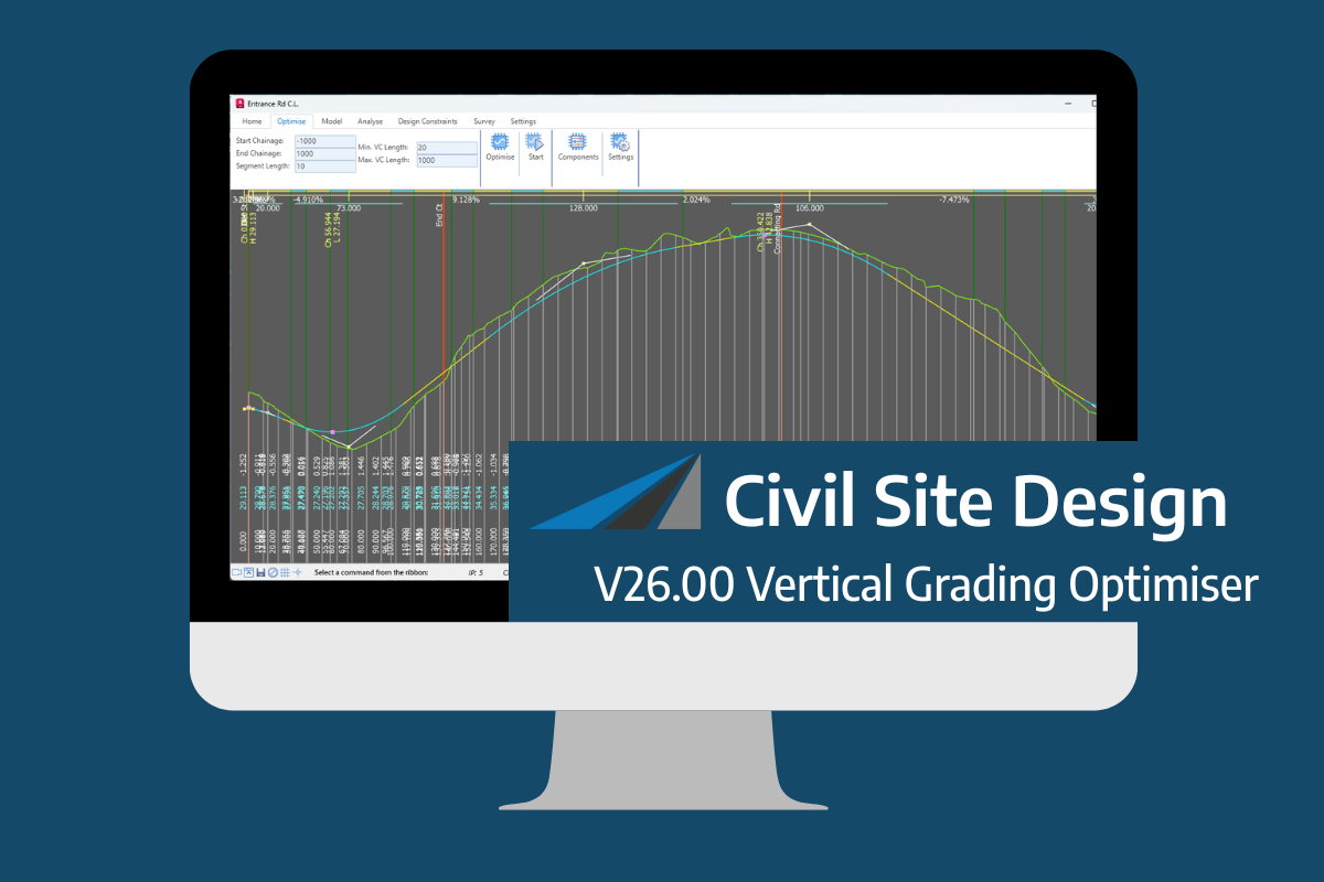
An exciting new tool in Civil Site Design/Corridor EZ v26 is the Vertical Grading Optimizer which can create vertical design profiles based on the parameters you set. Previously, the vertical best fit design profile was based on matching closely to the terrain (within preset cut/fill depths) and adding vertical curves. Mostly, you would remove these […]
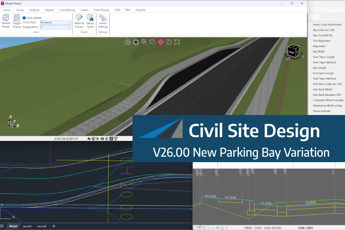
We know parking bays come in all shapes and sizes, and that many of them deserve an independently designed string (with cross sections attached to the string to describe the kerb shape of the parking bay). For those parking/bus or widening bays that can be readily described with cross section edits, we’ve got you covered […]

Non-linear design is when a typical, cross section-based design does not generate the intended result. Typically for designs that are non-parallel, such as driveways, car parks, commercial / Industrial, residential & retaining wall projects. In this webinar, our expert, Jonathan Taylor will show you how to use the Civil Site Design tools to tackle these […]

The Civil Site Design Driveway Checker can be used to assist designers with determining clashes on existing & proposed Civil Site Design project designs. In this webinar, our expert, Jonathan Taylor, will be focusing on using the Driveway Checker to check B85 & B99 vehicles over different crossing points on the project, and exploring the […]