We are pleased to announce that a sister company to Civil Survey Solutions Pty Ltd has been formed called ‘Civil Survey Applications Pty Ltd’ to take the development and marketing of the Civil Site Design and Stringer Topo software to the next level.
The team at Civil Survey Solutions Pty Ltd will continue to provide Autodesk based infrastructure solution software, training and support services to Australian customers.
The formation of Civil Survey Applications Pty Ltd has been necessitated by the increase in sales of Civil Site Design and Stringer Topo internationally. Key personnel involved in the direction, development and support of the software, Dr Peter Bloomfield, Andrew Banson, Jonathan Taylor, Jack Haughton along with support staff have transitioned to the new company and look forward to continuing development of the applications on both Autodesk and Bricsys platforms.
Civil Survey Applications Pty Ltd will bring Civil Site Design and Stringer Topo to the Australian market through Civil Survey Solutions Pty Ltd and CADApps Australia.
For more information on Civil Survey Applications Pty Ltd, please visit www.civilsurveyapplications.com

Field attributes provide Surveyors with the ability to include additional data in their Survey pickup of points. With Stringer Topo V26 users can now include additional data (attribute data) with their COGO points and survey strings for review, editing and output from their drawing. There are a number of ways to add attributes to your […]

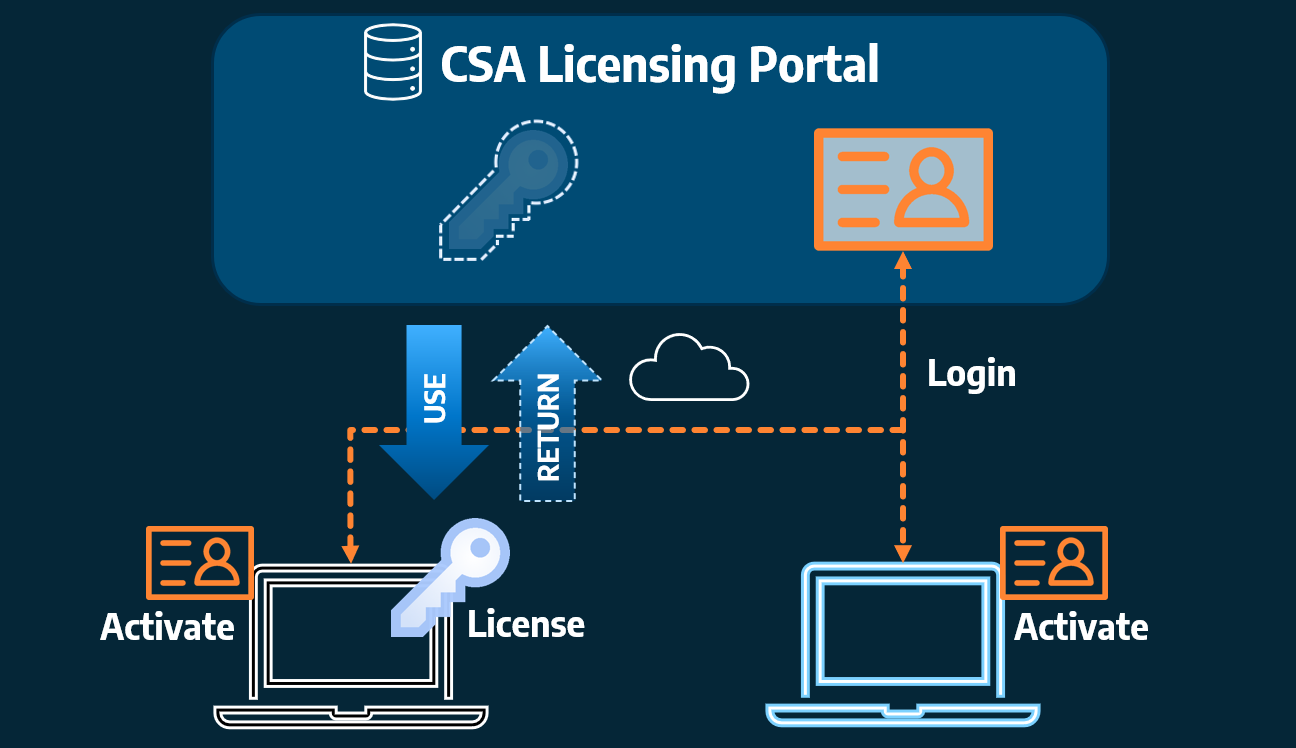
Home Use Licensing was provided to customers to support access to a single license from two computers, to support non-concurrent office and home use of the software. Prior to the release of our V26 licensing models, Home Use License access was provided via the issuing of two license keys: one for office use and one […]