We are pleased to announce that a sister company to Civil Survey Solutions Pty Ltd has been formed called ‘Civil Survey Applications Pty Ltd’ to take the development and marketing of the Civil Site Design and Stringer Topo software to the next level.
The team at Civil Survey Solutions Pty Ltd will continue to provide Autodesk based infrastructure solution software, training and support services to Australian customers.
The formation of Civil Survey Applications Pty Ltd has been necessitated by the increase in sales of Civil Site Design and Stringer Topo internationally. Key personnel involved in the direction, development and support of the software, Dr Peter Bloomfield, Andrew Banson, Jonathan Taylor, Jack Haughton along with support staff have transitioned to the new company and look forward to continuing development of the applications on both Autodesk and Bricsys platforms.
Civil Survey Applications Pty Ltd will bring Civil Site Design and Stringer Topo to the Australian market through Civil Survey Solutions Pty Ltd and CADApps Australia.
For more information on Civil Survey Applications Pty Ltd, please visit www.civilsurveyapplications.com
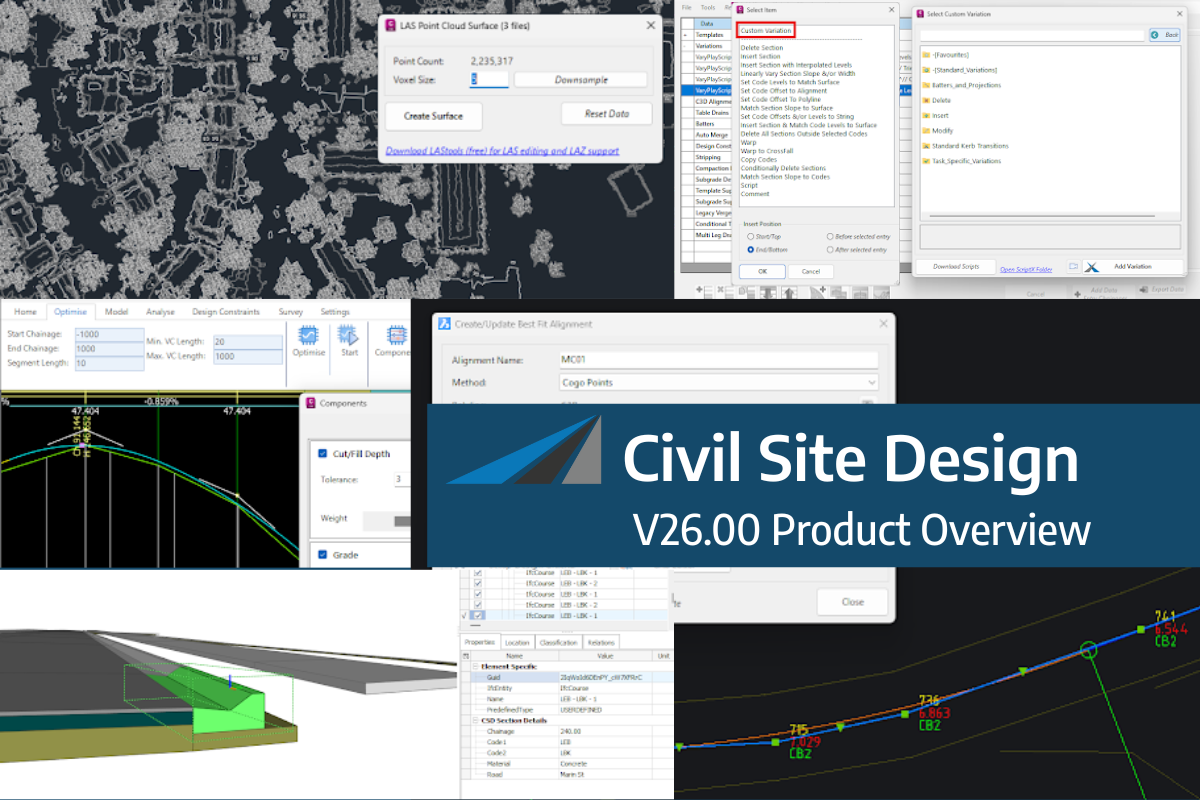
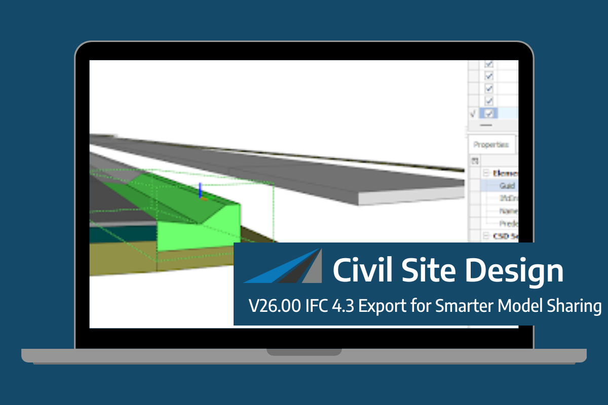
Civil Site Design/Corridor EZ V26 introduces support for IFC 4.3 export, giving users a powerful new way to share detailed 3D models with full classification and geometry data. This enhancement allows designers to export corridor models, road elements, and subgrade components as fully structured, BIM-ready files compatible with a wide range of IFC viewers […]
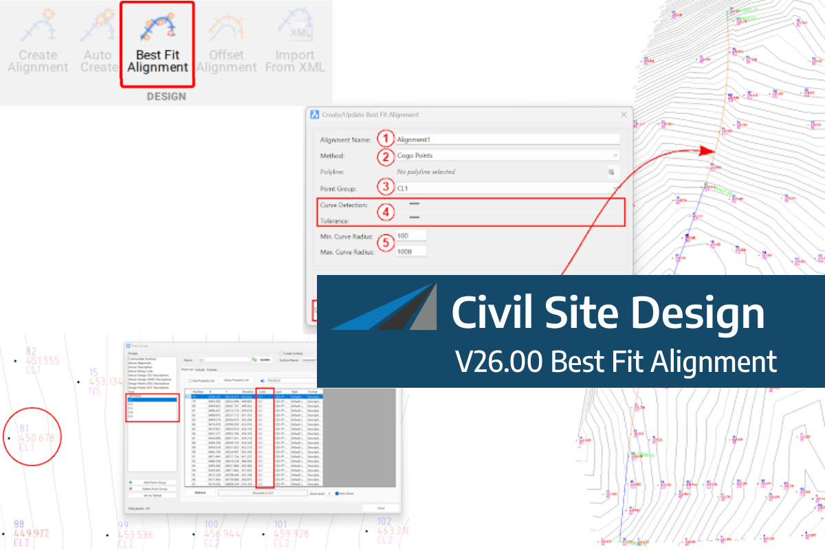
A new feature of Civil Site Design V26 is the Best Fit Alignment command. This command is available to AutoCAD and BricsCAD users and allows you to create an alignment based on Cogo Point or polyline data. When the command is run, the Best Fit algorithm analyses the Cogo Points in the specified Point […]
One of the exciting new features in the Civil Site Design V26 and Stringer Topo V26 release is the Surface from LAS command. Often LiDAR and point cloud data is saved as a LAS file, which previously required interpreting in another software prior to being imported to create a surface. This new command allows you […]


