In Civil Site Design V24.10, the Model Builder Edit/Trim by Selection & Group forms received an update which can have a significant impact on selecting sections for trimming models.
Currently, adding new trim locations where sample lines are not present requires the user to manually pick the start location and end location using the Add Extra Section button. This process requires each chainage to be picked separately.
The ‘Add Regions’ button, found on both forms, enables users to pick the start and end chainage positions on screen in a single operation and immediately have those positions added to the Extra Sections list.

In our recent Model Builder 101 webinar, we highlighted the current procedure of selecting start & end chainages manually. This improvement can streamline the picking process and save users time on large models.
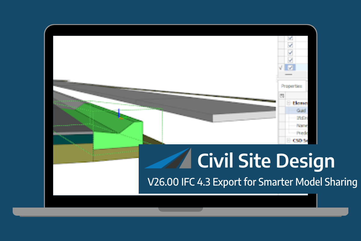
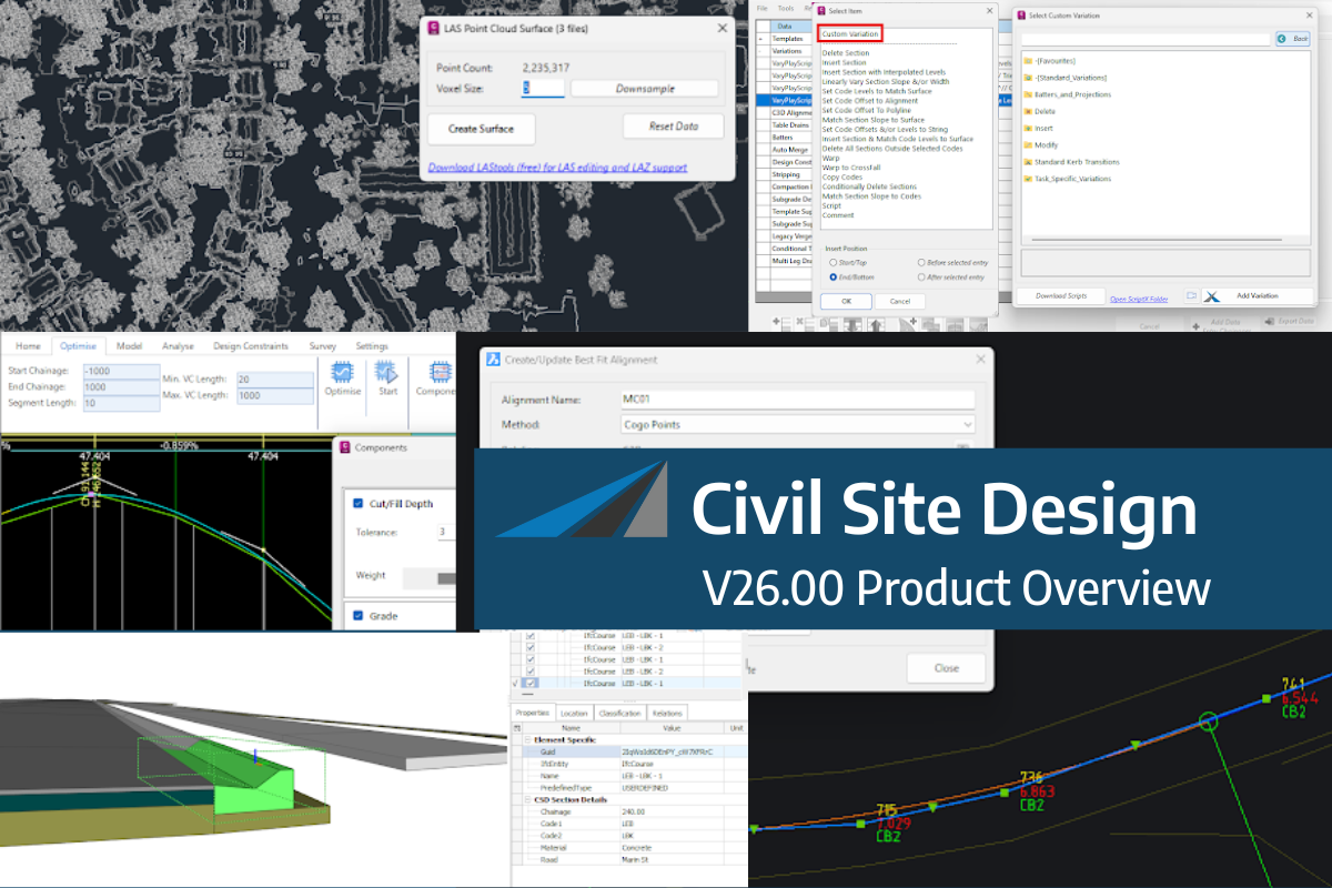
Civil Site Design/Corridor EZ V26 introduces support for IFC 4.3 export, giving users a powerful new way to share detailed 3D models with full classification and geometry data. This enhancement allows designers to export corridor models, road elements, and subgrade components as fully structured, BIM-ready files compatible with a wide range of IFC viewers […]
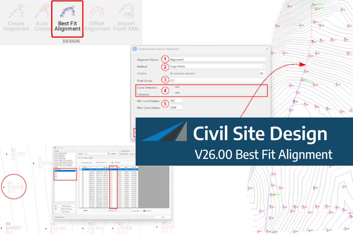
A new feature of Civil Site Design V26 is the Best Fit Alignment command. This command is available to AutoCAD and BricsCAD users and allows you to create an alignment based on Cogo Point or polyline data. When the command is run, the Best Fit algorithm analyses the Cogo Points in the specified Point […]

One of the exciting new features in the Civil Site Design V26 and Stringer Topo V26 release is the Surface from LAS command. Often LiDAR and point cloud data is saved as a LAS file, which previously required interpreting in another software prior to being imported to create a surface. This new command allows you […]