Viewing height or terrain data on your Civil Site Design & Civil 3D surfaces, is now possible with the new Surface Analysis in Model Viewer.
Found in Toggle Display, users can create quick and simple terrain colouring to view height ranges on surfaces, including design surfaces and models. Using the same technology, Road String slope and crossfall analysis can also be applied to the design.
Found in Model Viewer, the new Catchment Analysis tool has been developed to help users review surface and model data to analyse potential Ponding, Catchment areas and Low Points. With this new technology users are able to quickly assess surfaces and models within the project and determine if surface flows will meet the design requirements.
Model Viewer – Surface Analysis
Model Viewer – Catchment Analysis
If you are currently using Legacy Stringer Topo and are interested in transitioning to the new dynamic version of Stringer Topo – but are concerned about migrating your current settings? These webinars will walk you through how easy the transition is and the workflow of transferring settings from Legacy Stringer to the current version based […]
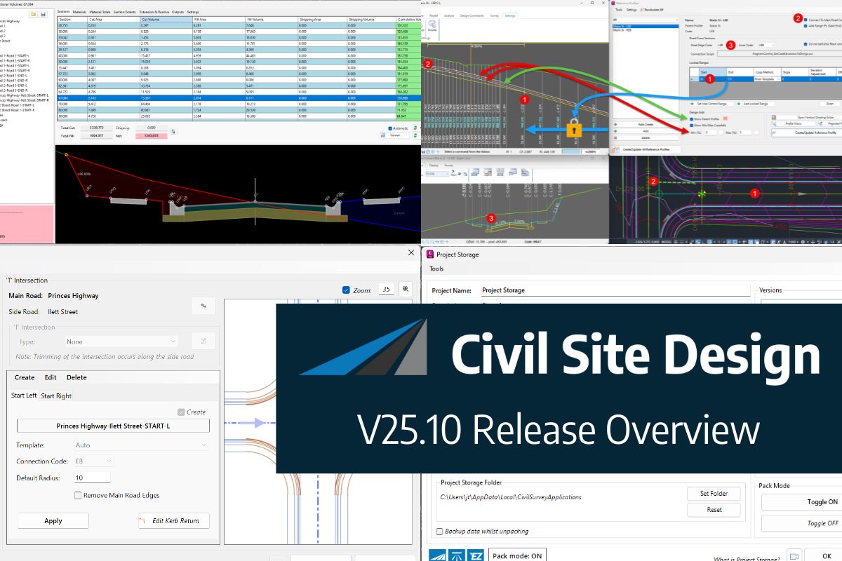
In this webinar, join our experts, Todd Brewster and Jonathan Taylor as they unpack some of the major updates within Civil Site Design V25.10. 0:00 Introduction 5:08 Project Storage 24:48 Intersection Manager 36:50 Sectional Volumes & Multi Viewer 54:16 Reference Profiles 1:12:19 Projected Profiles (Civil 3D only) Key features and improvements of Civil Site Design […]


