Stringer Topo V24.20 has been released to support the BricsCAD V24 (as well as current releases of Autodesk software), including a number of new and improved features.
You spoke, we listened. You asked for functionality to make it easier to edit the essentials for points: point number, easting, northing, elevation and description.
We’ve created a new command: Quick Point Editor.
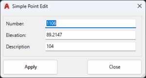
Run the command, pick a point, edit the essentials and apply the changes. Simple!
As well, we’ve made the Point List command editable.
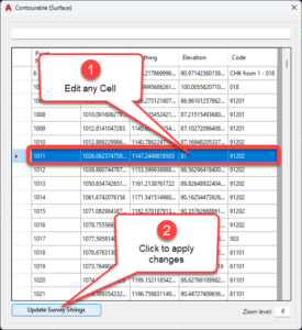
We probably should rename it Point List Editor. You can change any cell in here, then click Update Survey Strings to apply in your survey.
Otherwise, we’ve made changes in response to customer feedback, including:
- Improving the point transformation tool with a picker for setting controlled easting and northing locations
- Improving messaging for the Delete Segment command from the menu
- Adding an option in Stringer Settings to set the 3D linework settings to match the 2D
As per every update, we’ve also implemented fixes to address customer reported issues. Check out the read me page for further information.
Stringer Topo V24.20 is available on AutoCAD 2018-2024, Civil 3D 2018-2024 and BricsCAD V21-V24.
You will have access to the update if you have a current annual subscription or a active maintenance plan on your perpetual license. If you do not currently have an active maintenance plan, please email us at sales@civilsurveysolutions.com.au to arrange an upgrade to your account.
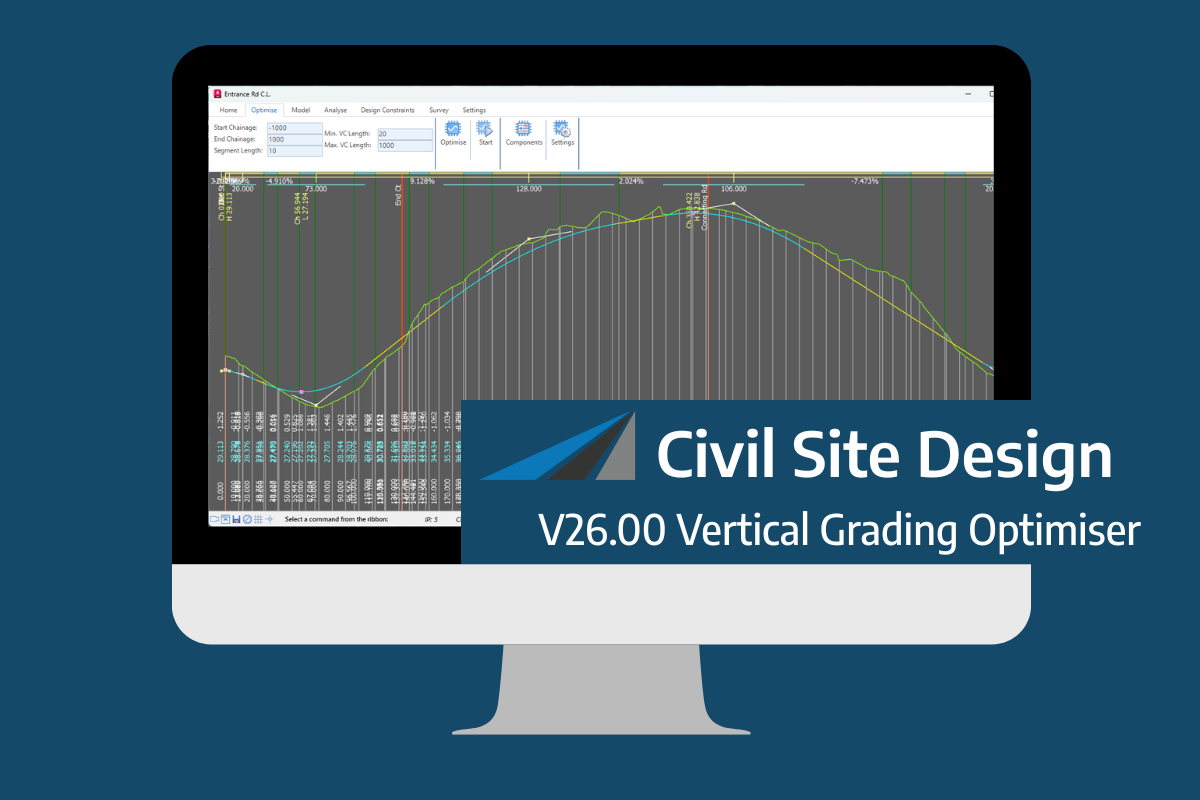
An exciting new tool in Civil Site Design/Corridor EZ v26 is the Vertical Grading Optimizer which can create vertical design profiles based on the parameters you set. Previously, the vertical best fit design profile was based on matching closely to the terrain (within preset cut/fill depths) and adding vertical curves. Mostly, you would remove these […]
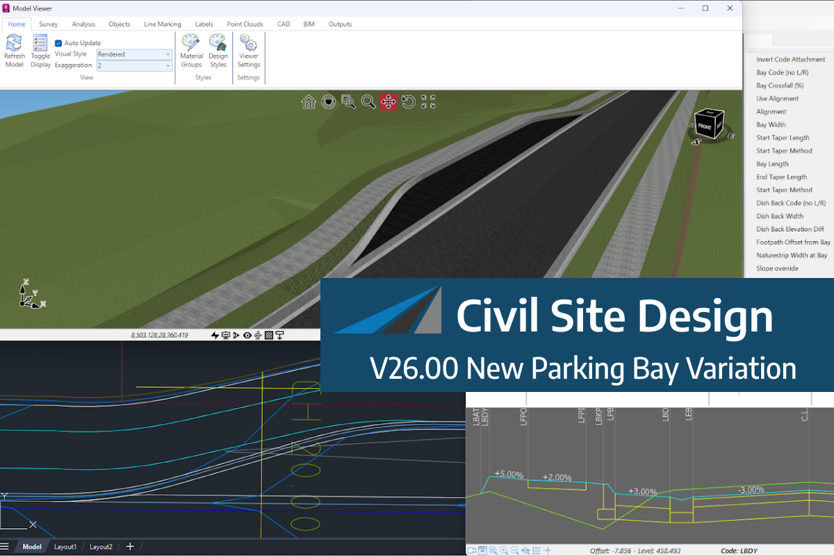
We know parking bays come in all shapes and sizes, and that many of them deserve an independently designed string (with cross sections attached to the string to describe the kerb shape of the parking bay). For those parking/bus or widening bays that can be readily described with cross section edits, we’ve got you covered […]
If you are currently using Legacy Stringer Topo and are interested in transitioning to the new dynamic version of Stringer Topo – but are concerned about migrating your current settings? These webinars will walk you through how easy the transition is and the workflow of transferring settings from Legacy Stringer to the current version based […]

