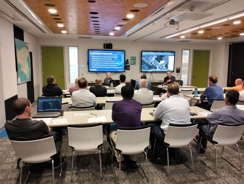
Civil Survey Applications recently hosted the ‘Civil Site Design: Council User Training Day’ in Parramatta, NSW. This complimentary technical training workshop was centred on civil engineering and design for local government users, with a focus on practical application of Civil Site Design features.
The agenda was designed to deliver direct value to the attendees through sessions led by experts in Civil Site Design software and associated products. The sessions presented included:
What’s new in Civil Site Design
Shane O’ Rorke and Jonathan Taylor presented an overview of recent features and improvements in Civil Site Design software and how these directly benefit users.
Driveway Checking presented by Jonathan Taylor
As the Product Manager for Civil Site Design, Jonathan demonstrated the software’s ability to efficiently review driveway scenarios, showcasing its capability to simplify complex tasks without the need for extensive modelling.
Car Park Design with COGO Points presented by Jonathan Taylor
In this session, Jonathan illustrated Civil Site Design’s tools for designing complex car park layouts that move beyond traditional linear and cross-section models.
Using Script X, led presented by Andrew Banson
As the Lead Software Developer for Civil Survey Applications, Andrew presented a session on Script X, a new scripting language tool included in Civil Site Design. Andrew demonstrated this tools’ ability to quickly create user defined Design Variations assisted by A.I. generated script, including ChatGPT.
Roundabout Intersection Design presented by Shane O’Rorke
Shane presented a case study on Monash City Council’s Roundabout Intersection Design Project. This session demonstrated the real-world application of Civil Site Design for road reconstruction and specifically how to efficiently design roundabouts with subgrade models.
Watercom Drains & Civil Site Design for Australian Rainfall and Runoff, presented by Hossein Ansari and Shane O”Rorke.
Hossein Ansari, Principal Engineer at Watercom DRAINS along with Shane O’Rorke , jointly delivered a session demonstrating the two-way connection between Civil Site Design and Watercom DRAINS, particularly in the management of rainfall and runoff data.
The workshop was a success and we would like to extend our appreciation to all attendees, the City of Parramatta for the venue, and presenters Shane O’Rorke, Jonathan Taylor, Andrew Banson, and Hossein Ansari.
Feedback from participants has been excellent and overall they were impressed with the practical application of the sessions in operations of local government projects.
Following the positive response, we are looking to organise similar events in 2024. These workshops are planned as opportunities for training and professional development, aligning with our commitment to continuous software development and cultivating a skilled Civil Site Design user community.
Further details regarding upcoming events will be communicated in due course, as we continue our emphasis on education and collaboration in the field of civil engineering and surveying. Keep an eye out on our LinkedIn page, website and newsletter for more information.

Field attributes provide Surveyors with the ability to include additional data in their Survey pickup of points. With Stringer Topo V26 users can now include additional data (attribute data) with their COGO points and survey strings for review, editing and output from their drawing. There are a number of ways to add attributes to your […]

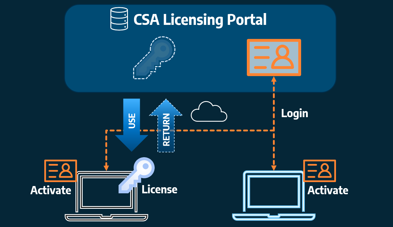
Home Use Licensing was provided to customers to support access to a single license from two computers, to support non-concurrent office and home use of the software. Prior to the release of our V26 licensing models, Home Use License access was provided via the issuing of two license keys: one for office use and one […]