We are pleased to announce the release of Stringer Topo V25.00. This version includes new features and improvements that aim to streamline your surveys within the CAD environment.
Stringer Topo V25.00 is available on the following platforms:
- AutoCAD 2019 to AutoCAD 2025
- BricsCAD V22 to BricsCAD V24
- Civil 3D 2019 to Civil 3D 2025
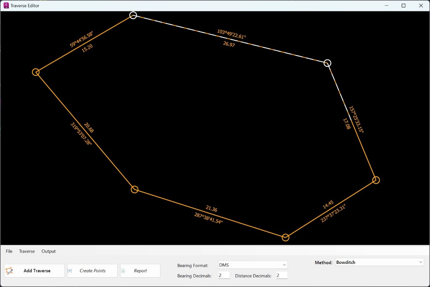
Traverse Editor
One of our bigger additions to Stringer Topo is the addition of a new Traverse Editor. This allows users to select the points of their traverse and visualise it before running one of four key adjustment methods:
- Bowditch
- Transit
- Crandall
- Grant Line
Linking COGO Points with Excel
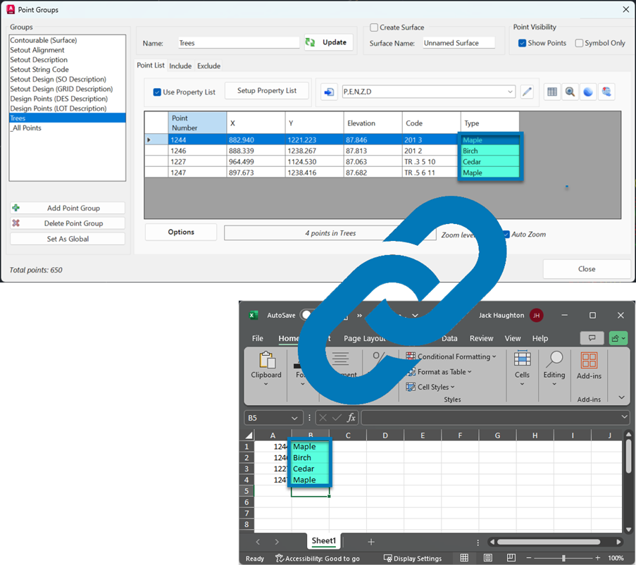
Recognising the power of spreadsheets to quickly update non-geometric point properties (such as tree type and condition) we have implemented a link between Excel and COGO Points in Stringer Topo. Users can now:
- Export point geometry and property date across to Excel
- Link Excel spreadsheet/s to COGO point properties, enabling Excel spreadsheet edits to drive point geomery and property information
There are four commands to provide interoperability with Excel:
- Excel Export: structure an Excel file to contain your point data
- Excel Import: link point dat to an Excel file
- Sync Links: click-button option to update COGO points in the drawing from changes in Excel
- Excel Viewer: a simple spreadsheet editor for .xls files (if you don’t own Microsoft Excel or equivalent)
2D Transformations
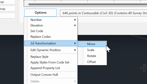
In response to customer requests we have added options to Move, Scale, Rotate and Offset all points in a point group, without affecting point elevations.
Inquire Points
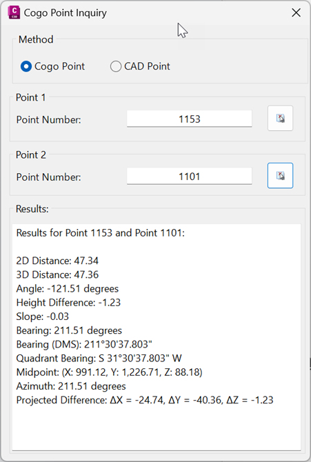
To simplify querying the data in the drawing, users now have access to the new Inquire Points command. This allows users to report differences between two selected points.
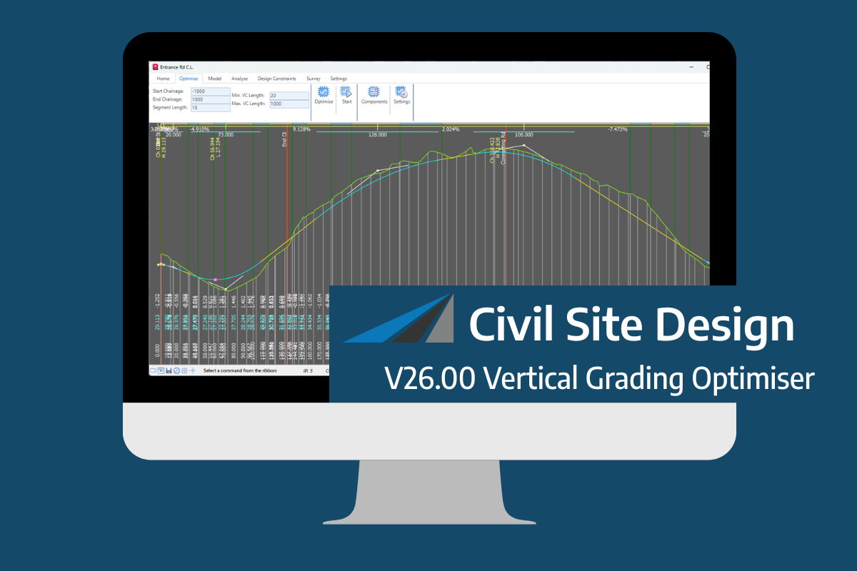
An exciting new tool in Civil Site Design/Corridor EZ v26 is the Vertical Grading Optimizer which can create vertical design profiles based on the parameters you set. Previously, the vertical best fit design profile was based on matching closely to the terrain (within preset cut/fill depths) and adding vertical curves. Mostly, you would remove these […]
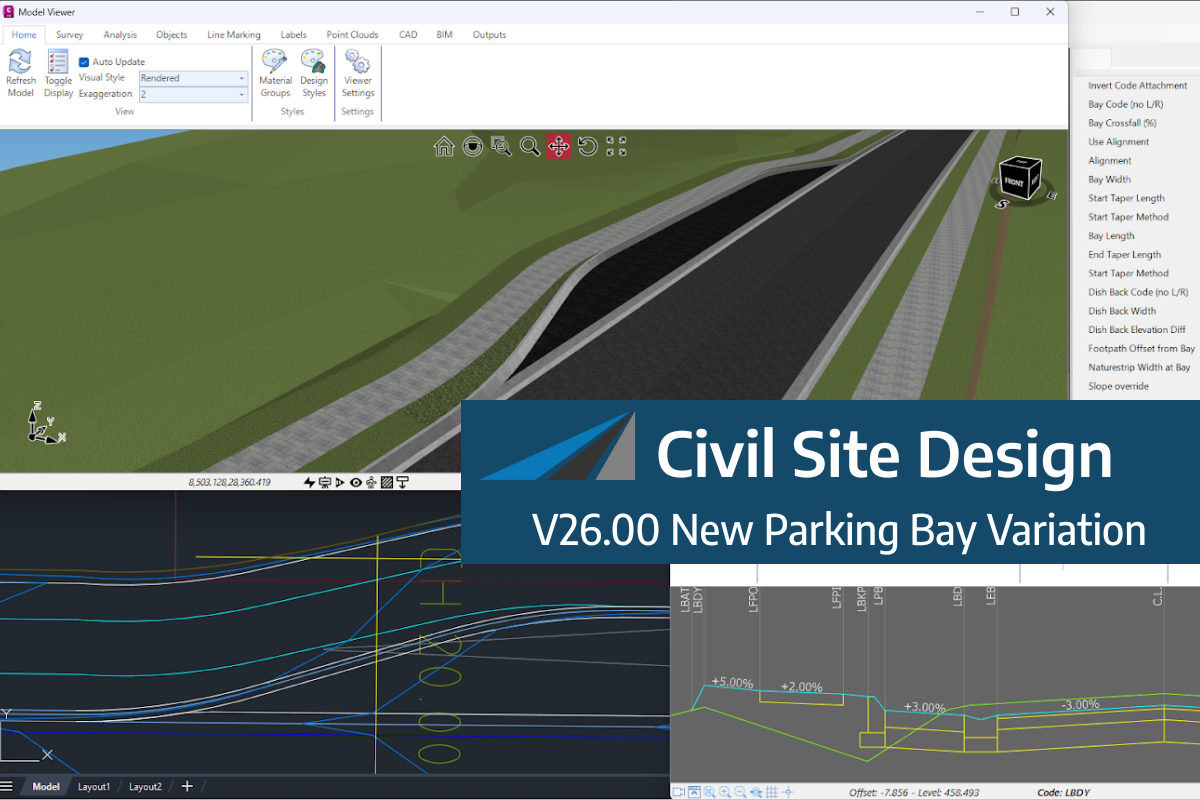
We know parking bays come in all shapes and sizes, and that many of them deserve an independently designed string (with cross sections attached to the string to describe the kerb shape of the parking bay). For those parking/bus or widening bays that can be readily described with cross section edits, we’ve got you covered […]
If you are currently using Legacy Stringer Topo and are interested in transitioning to the new dynamic version of Stringer Topo – but are concerned about migrating your current settings? These webinars will walk you through how easy the transition is and the workflow of transferring settings from Legacy Stringer to the current version based […]

