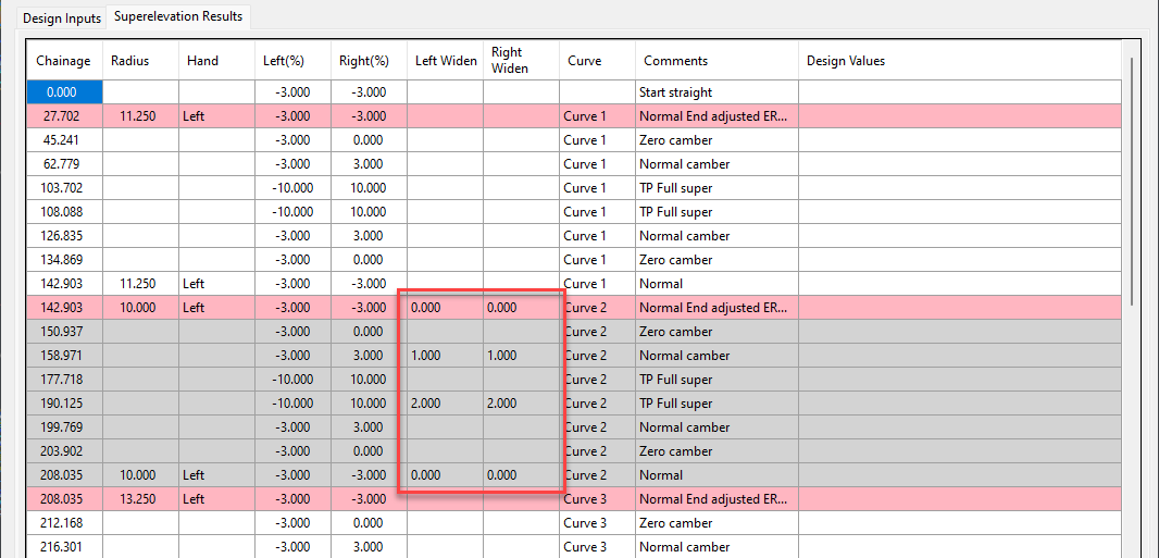
We’ve enhanced the superelevation tools to make it easier for you to quickly and easily assess output of rules-based superelevation, and to make it simple for you to use this tool to vary pavement crossfalls and widths.
To make things easier with rules-based application of superelevation, we’ve colour coded each curve to highlight them, and we’ve colour codes issues with superelevation (like curve radius being too small or overlapping superelevation lengths) with a pink row.

Most importantly, you can easily apply linear transitions of pavement widening and/or pavement crossfall, over any chainage ranges.
Previously, we made you fill out every value (for crossfall or width) where you added a chainage – this made things awkward because if you had a widening going from, say, chainage 100 to 150, but you also had chainage entries at, say, chainage 120 and 130, then you had to manually interpolate what the widths would be at these intermediate chainages.
Now, we interpolate the value at any cell you leave blank. What this means is that you can separately manage the pavement crossfalls or the pavement widening, left and right. Add chainages at the locations where you want the changes to start and stop.

Rather work with Excel? We’ve added file export functionality to push the data out to Excel, and to read the data back in. In Excel you just type in chainages, fill out the key locations with crossfalls and widths, then load it back in.

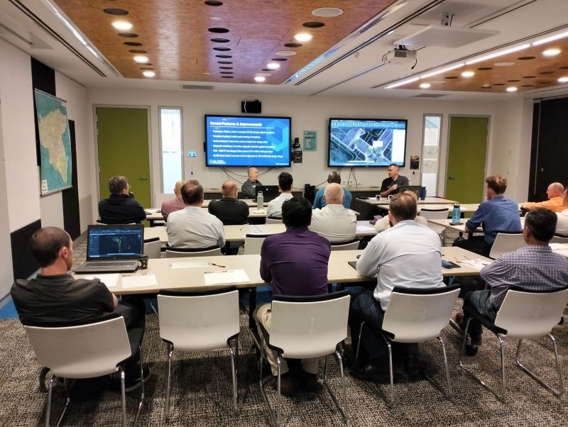
Civil Survey Applications recently hosted the ‘Civil Site Design: Council User Training Day’ in Parramatta, NSW. This complimentary technical training workshop was centred on civil engineering and design for local government users, with a focus on practical application of Civil Site Design features. The agenda was designed to deliver direct value to the attendees through […]
Since releasing Civil Site Design in the USA in 2007, we have experienced constant growth. A technical distributor, Logis LLC, was appointed in 2015, followed by the establishment of Civil Survey Applications LLC in 2019. Located in Florida, the team of 5 including three civil engineers, is committed to customising the software for the US […]
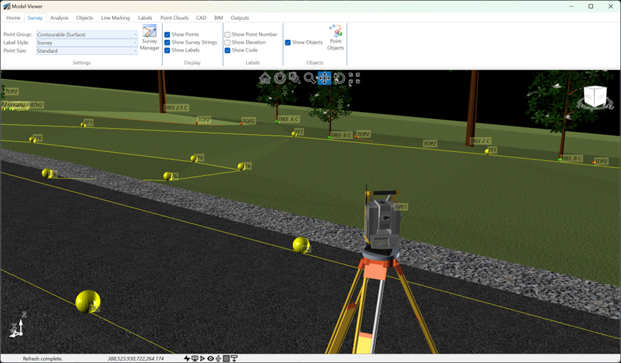
See how Civil Site Design efficiently incorporates and displays survey data, specifically cogo points and survey strings, within your design framework. This article explores this through the lens of a rural road project, demonstrating how cogo points and survey strings from the topographical survey are seamlessly integrated and visualised in Civil Site Design's Cross Section Viewer, VGE (Vertical Grading Editor), and 3D viewer (Model Viewer).
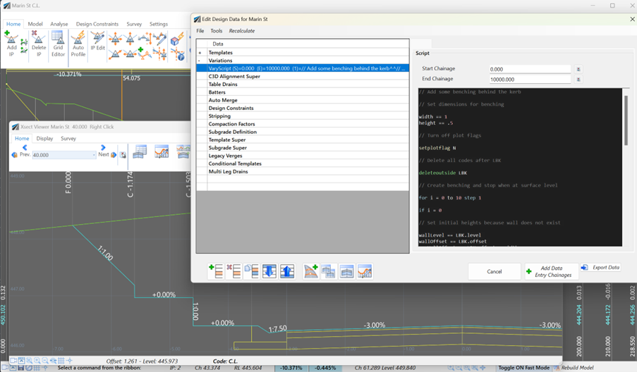
Unlock advanced cross-section editing in Civil Site Design with ScriptX, a user-friendly scripting tool for precision and customization. Easily integrate your scripts into the design process, and collaborate effortlessly with a shared library of scripts. This article will explore ScriptX's capabilities and provide download sample scripts.


