Project Storage | Introduction
Project storage in Civil Site Design and Stringer Topo V25.1 offers a new way to manage project data, enhancing data organisation, protection, and version control. Instead of storing the project data folder next to the DWG file, as in the traditional format, project storage places this folder in a separate location defined by the project storage folder path.
A key feature of project storage is the assignment of a unique GUID (Globally Unique Identifier) to each project data folder. This GUID acts like a digital fingerprint, ensuring that even if multiple projects share the same storage location, their data remains separate and distinct. This prevents any accidental mixing of information, protecting data integrity.
Project Storage | Restoring Projects
Project Storage implements a version control system. Every time a project is opened, a new data folder is created with a unique GUID. This ensures that each work session begins with a clean copy of the project data, safeguarding against accidental modifications impacting previous versions. Previous versions of the data folder are preserved within the project storage location, allowing users to revert to earlier project states if needed.

Civil Site Design, Stringer Topo & Corridor EZ V24.10 forms will accomodate 4K text scaling.
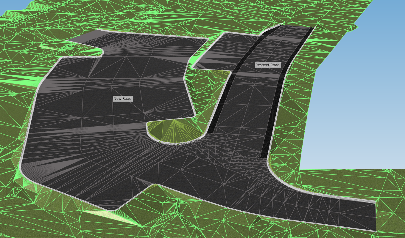
Bulk earthworks play a key part on many projects and determining the volumes can be a time consuming process. Released in Civil Site Design V23.10, the Subgrade Model Manager (SMM) was developed to assist users with creating subgrade surfaces of any model within the project.
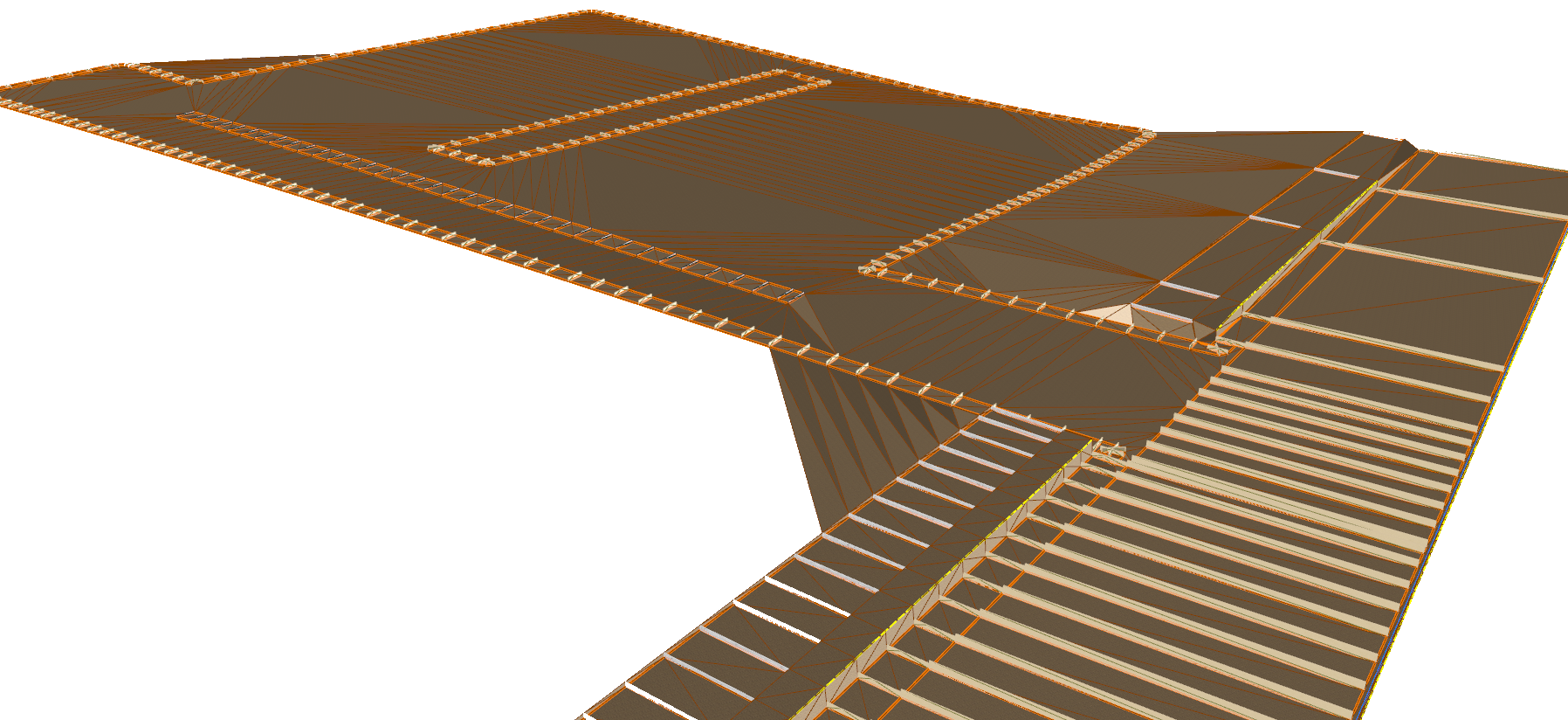
In this webinar we demonstrate the best practice for using Model Builder and unpack all the functionality to operate it successfully, using a road and parking bay design.
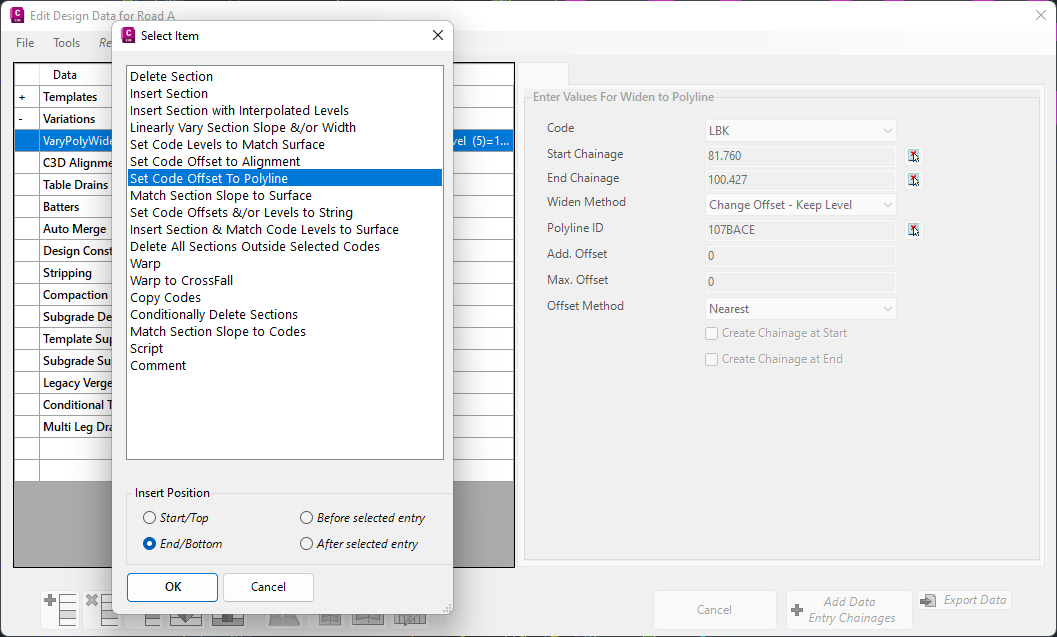
In Civil Site Design V24.10, the Design Data Form has undergone some ergonomic improvements and seen the addition of a new Design Variation – Offset by Polyline.