In Civil Site Design V24.10, the Design Data Form has undergone some ergonomic improvements and seen the addition of a new Design Variation – Offset by Polyline.
Users can now double click in the entry fields to add a new entry. and we added a Recalculate button at the top of the form to recompute all Design Data Form entries. This is very useful if edits are made to polyline and/or alignment geometry with the form open – currently recalculating required an edit to the form entries to generate the Add/Update button.
Yes, a new Design Variation – Offset by Polyline. If you have used Offset by Alignment / Match Code to Alignment, then you will already be familiar with moving a code offset to match a Civil Site Design or Civil 3D alignment. The additional benefits of this variation are:
- You do not need to create an alignment from your polyline to match an offset
- Additional offset distance values can be applied giving you flexibility to offset from the polyline
- With the Max offset from CL check, you can search within a specified range
- The Offset Method option of nearest or furthest can be applied when the polyline is found multiple times at a single cross section

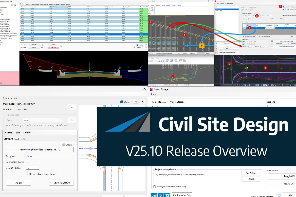
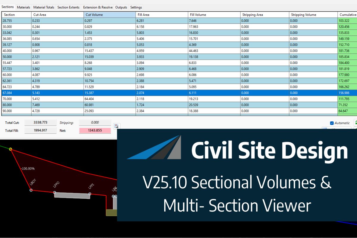
In this webinar, join our experts, Todd Brewster and Jonathan Taylor as they unpack some of the major updates within Civil Site Design V25.10. 0:00 Introduction 5:08 Project Storage 24:48 Intersection Manager 36:50 Sectional Volumes & Multi Viewer 54:16 Reference Profiles 1:12:19 Projected Profiles (Civil 3D only) Key features and improvements of Civil Site Design […]


