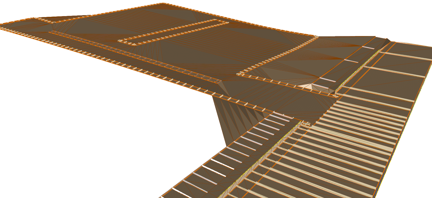
Bulk earthworks play a key part on many projects and determining the volumes can be a time consuming process. Released in Civil Site Design V23.10, the Subgrade Model Manager (SMM) was developed to assist users with creating subgrade surfaces of any model within the project.
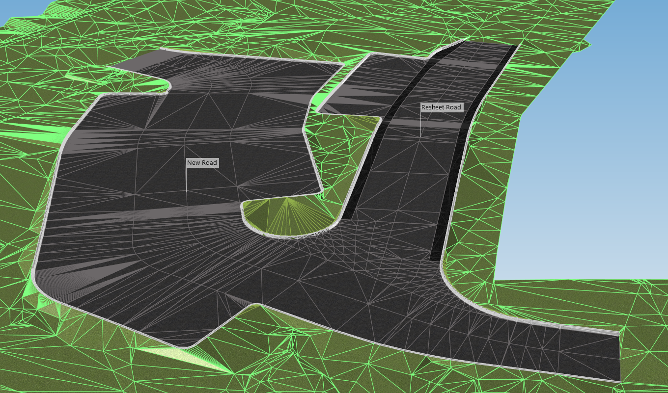
In this webinar we demonstrate the best practice for using Model Builder and unpack all the functionality to operate it successfully, using a road and parking bay design.
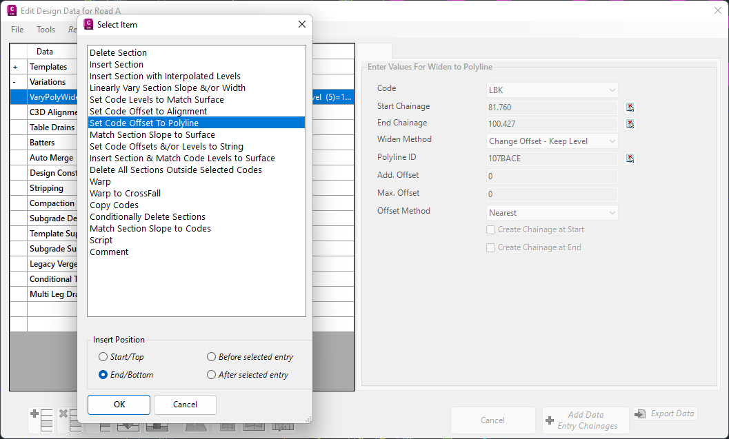
In Civil Site Design V24.10, the Design Data Form has undergone some ergonomic improvements and seen the addition of a new Design Variation – Offset by Polyline.
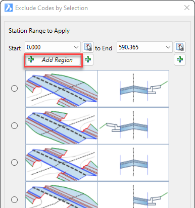
In Civil Site Design V24.10, the Model Builder Edit/Trim by Selection & Group forms received an update which can have a significant impact on selecting sections for trimming models.

With the release of V24 has come a number of new and improved features. Join us as we explore the major functionality update, Toolspace, which has been developed to enhance the user experience for operators at all levels.
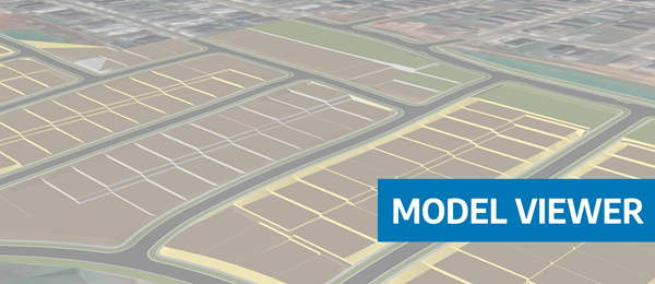
Viewing height or terrain data on your Civil Site Design & Civil 3D surfaces, is now possible with the new Surface Analysis in Model Viewer.
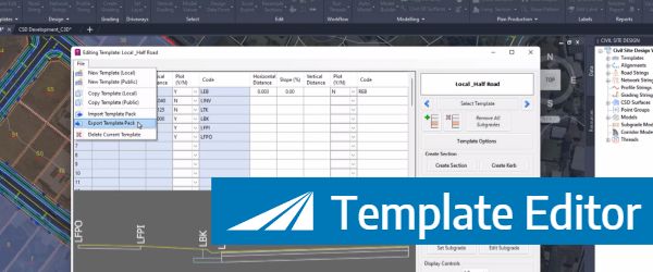
In Civil Site Design V24, users can now save templates as packed (zipped) files, making them portable for sharing with teams and projects.
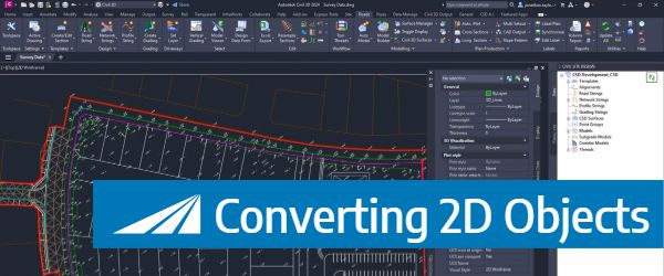
With the new Convert 2D Objects, Civil Site Design can read your 2D objects, such as text or block attributes and convert them into dynamic, elevated Cogo Points. The result? A live surface onto which design can begin.
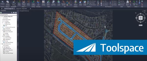
Creating, Reviewing, Editing and finding contextual commands can all be done using the Toolspace, which offers the majority of functionality all within a single, dockable palette.
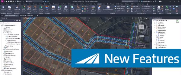
To coincide with the Autodesk 2024 release, Civil site design v24 has been released featuring a number of new and improved features, here is an overview of what's in this release.
© All rights reserved. Civil Survey Applications