Intersection Manager | Introduction
Civil Site Design V25.10 (released November 2024) features the Intersection Manager. This is a single, centralised location to manage intersections within a Civil Site Design project.
The Intersection Manager was developed to enable users to have single tool which would assist with managing all intersecting Road Strings in the project. Even if the intersection is not supported with kerb returns, users can configure the intersection to suit relevant design requirements and utlitise the original kerb return tools. Projects containing a large number of intersections will benefit from being able to quickly identify and edit the intersecting roads and kerbs.
Intersection Manager | ‘T’ Intersections
Managing typical ‘T’ Intersections has been improved, with users having new tools to globally change intersections throughout the project. Changing batter/daylight conditions globally or being able to selectively change kerb return templates, once the kerb return has been established without having to change via the Design Data Form.
Intersection Manager | Crossing Intersections
Intersection Manager has replaced the Nominate Side Road form. With the Intersection Manager, you can not only switch between side and main roads and maintain your kerb returns, you can also use overlapping alignments to force a ‘T’ Intersection, instead of defaulting to a Crossing Intersection.
Intersection Manager | Remove Main Road Edge
Remove Main Road Edges removes the ‘intersection through code’, typically the EB or ETW. This can also be referred to as Maintain Road Crowns. There is a global option to remove this code across all intersections on the projects and a further option where the code can be removed or reinstated at nominated intersections. Prior to the release of Civil Site Design V25.10, removal of this code was undertaken with a Design Variation. The video for this can be found here: https://youtu.be/pN8Pe5DVKyI?si=jCZkBpgp6i84kVpq
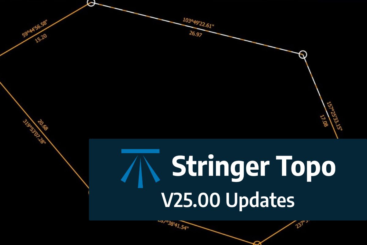
We are pleased to announce the release of Stringer Topo V25.00. This version includes new features and improvements that aim to streamline your surveys within the CAD environment. Stringer Topo V25.00 is available on the following platforms: AutoCAD 2019 to AutoCAD 2025 BricsCAD V22 to BricsCAD V24 Civil 3D 2019 to Civil 3D 2025 Traverse […]

The Stringer Topo V25.00 release will enable access to a Network version. Our adoption of a new Licensing system (QLM) allows us to reintroduce our popular Network version, which has been temporarily unavailable. For Stringer Topo customers who currently have Network licenses on software maintenance, you will be issued new Stringer Topo V25.00 Network license(s) […]

“Civil Site Design: A Year in Review and a Glimpse into the Future,” recording is now available. We have dived into the transformative developments of the past year and shared some plans for the upcoming version V25. This session was led by one of our software developers, Andrew Banson, showcased the major enhancements and new […]

In conjunction with our partners Civil Survey Solutions, we are excited to announce the following upcoming training courses for our products Civil Site Design and Stringer Topo. The courses are delivered by our experts and the training team at Civil Survey Solutions. As an Authorised Autodesk Training Center and Application Developer, you can trust that […]