Intersection Manager | Introduction
Civil Site Design V25.10 (released November 2024) features the Intersection Manager. This is a single, centralised location to manage intersections within a Civil Site Design project.
The Intersection Manager was developed to enable users to have single tool which would assist with managing all intersecting Road Strings in the project. Even if the intersection is not supported with kerb returns, users can configure the intersection to suit relevant design requirements and utlitise the original kerb return tools. Projects containing a large number of intersections will benefit from being able to quickly identify and edit the intersecting roads and kerbs.
Intersection Manager | ‘T’ Intersections
Managing typical ‘T’ Intersections has been improved, with users having new tools to globally change intersections throughout the project. Changing batter/daylight conditions globally or being able to selectively change kerb return templates, once the kerb return has been established without having to change via the Design Data Form.
Intersection Manager | Crossing Intersections
Intersection Manager has replaced the Nominate Side Road form. With the Intersection Manager, you can not only switch between side and main roads and maintain your kerb returns, you can also use overlapping alignments to force a ‘T’ Intersection, instead of defaulting to a Crossing Intersection.
Intersection Manager | Remove Main Road Edge
Remove Main Road Edges removes the ‘intersection through code’, typically the EB or ETW. This can also be referred to as Maintain Road Crowns. There is a global option to remove this code across all intersections on the projects and a further option where the code can be removed or reinstated at nominated intersections. Prior to the release of Civil Site Design V25.10, removal of this code was undertaken with a Design Variation. The video for this can be found here: https://youtu.be/pN8Pe5DVKyI?si=jCZkBpgp6i84kVpq
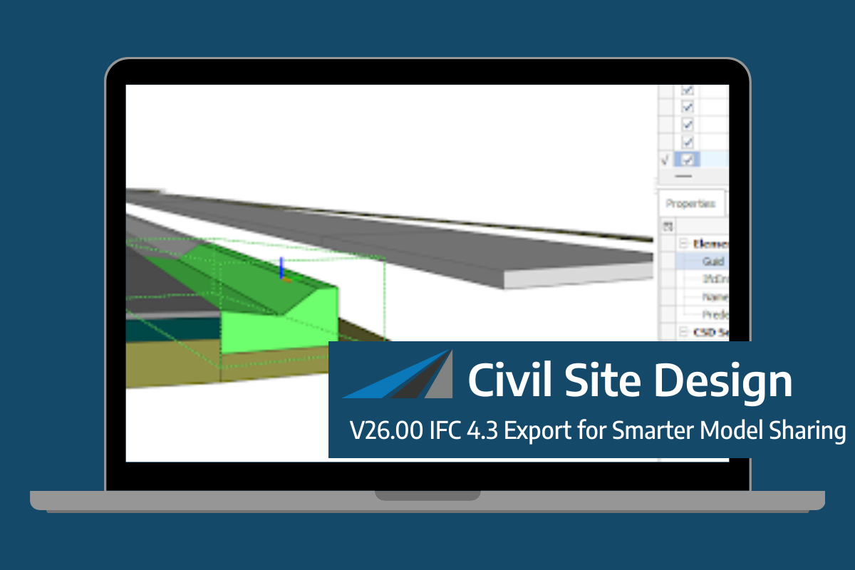
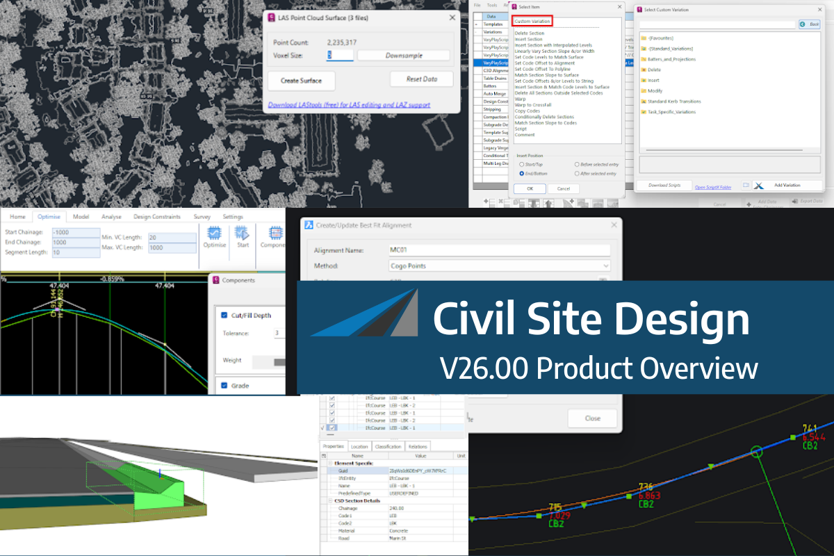
Civil Site Design/Corridor EZ V26 introduces support for IFC 4.3 export, giving users a powerful new way to share detailed 3D models with full classification and geometry data. This enhancement allows designers to export corridor models, road elements, and subgrade components as fully structured, BIM-ready files compatible with a wide range of IFC viewers […]
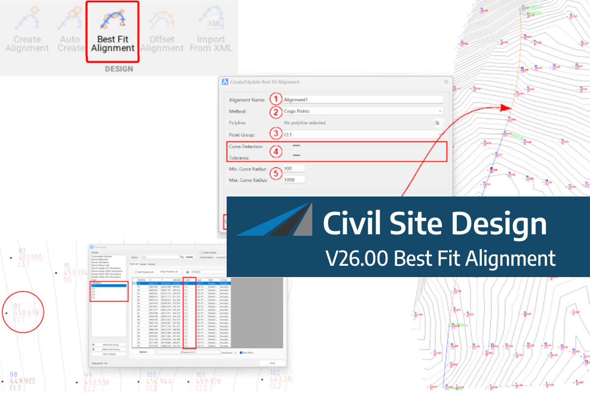
A new feature of Civil Site Design V26 is the Best Fit Alignment command. This command is available to AutoCAD and BricsCAD users and allows you to create an alignment based on Cogo Point or polyline data. When the command is run, the Best Fit algorithm analyses the Cogo Points in the specified Point […]

One of the exciting new features in the Civil Site Design V26 and Stringer Topo V26 release is the Surface from LAS command. Often LiDAR and point cloud data is saved as a LAS file, which previously required interpreting in another software prior to being imported to create a surface. This new command allows you […]