It can be frustrating having survey data that has a common Z value on the objects – zero. Manual editing of a survey drawing can be very time-consuming, elevating objects before design can even begin to have a working base surface to design on.
With the new Convert 2D Objects, Civil Site Design can read your 2D objects, such as text or block attributes and convert them into dynamic, elevated Cogo Points. The result? A live surface onto which design can begin.
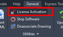
At times you may need to move your standalone Civil Site Design or Stringer license due to hardware failure, formatting of a workstation (PC) or moving to another PC. Here are the instructions on how to complete this process both if the license is accessible or inaccessible.
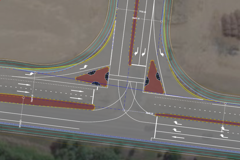
Revolutionise your Civil Site Design with Project Assist: Automating medians and splitter islands effortlessly. This AI-powered tool streamlines island integration by detecting alignments, automatically trimming road strings, and enhancing precision with minimal manual input.
Check out the performance improvements we have introduced for all Civil 3D Corridor creators out there!
-
Check out the performance improvements we've introduced into Civil Site Design V24.20 when you're working in the Vertical Grading Editor window.