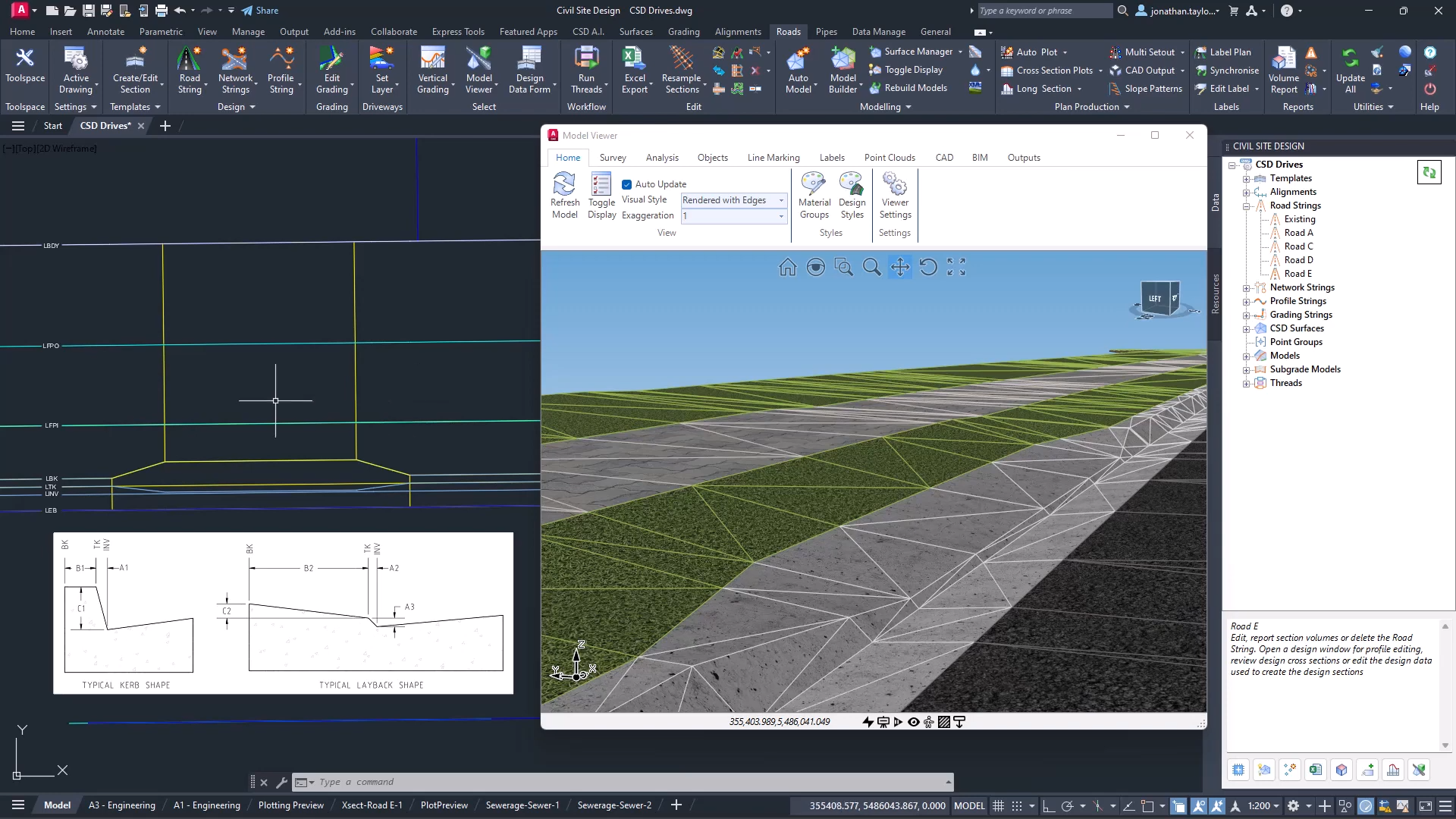
The screen shots and videos below show the functionality operating on Civil Site Design. The same functionality is accessible in Corridor EZ.
Project setup is often one of the most repetitive and time-consuming stages of the design process. Identifying road centrelines, defining project boundaries, detecting kerb returns, and assigning cross sections can require significant manual effort before design work can even begin.
With FastTrack, new in Civil Site Design v27, that process becomes dramatically faster.
Powered by artificial intelligence, FastTrack helps transform conceptual project information into a structured design framework, allowing engineers to move from project setup to design development with greater speed and efficiency.
Introducing FastTrack
Formerly known as Project Assist, FastTrack has evolved into an intelligent project setup tool designed to automate many of the early tasks involved in road and land development projects.
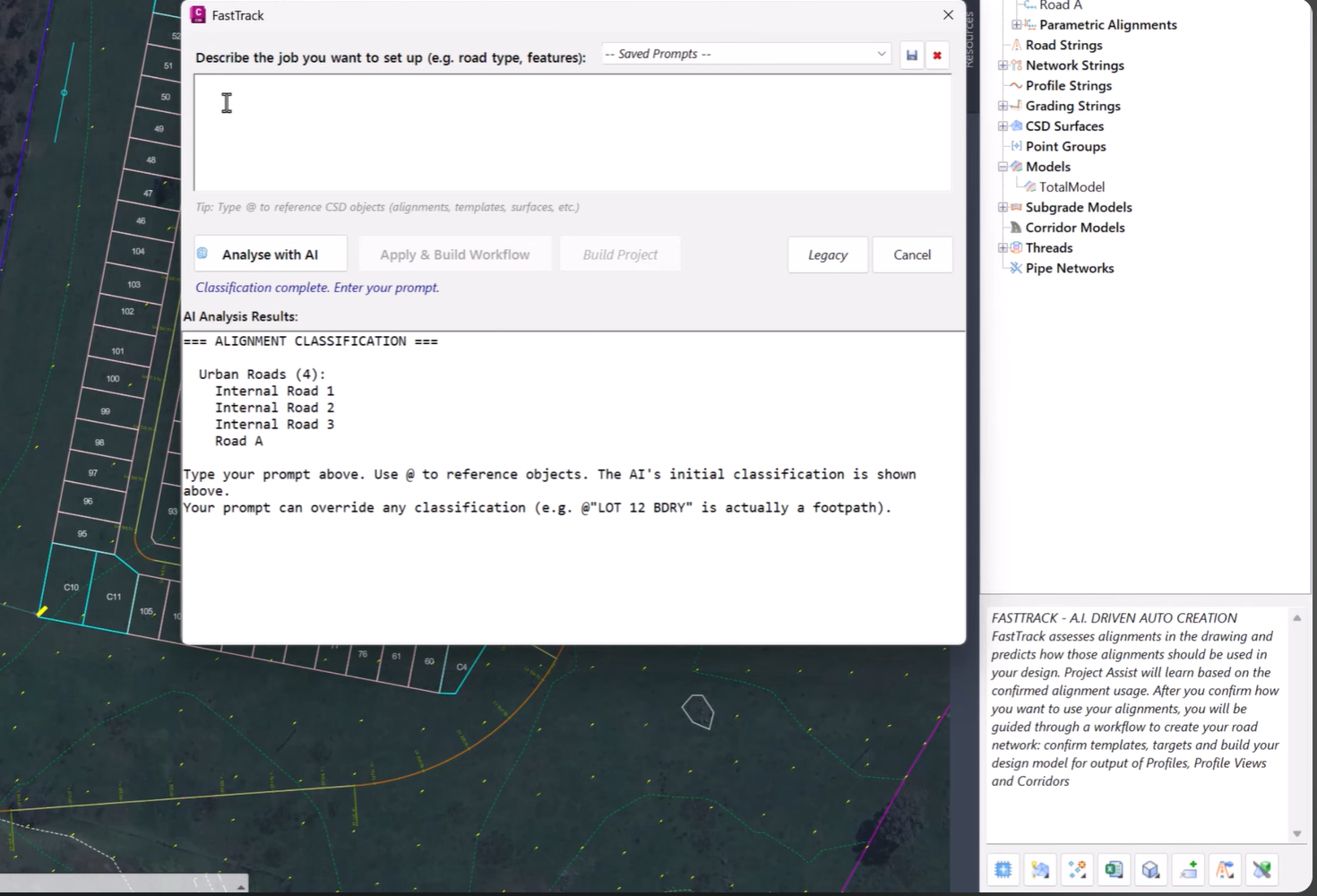
Rather than manually identifying key design elements, users can simply describe their project conceptually and allow FastTrack to analyse the design environment and recommend the most appropriate setup.
The result is a faster, more streamlined workflow that reduces repetitive tasks while maintaining complete control over the final design.
Describe Your Project in Plain Language
FastTrack begins with a simple concept: describe your project as you would to a colleague.
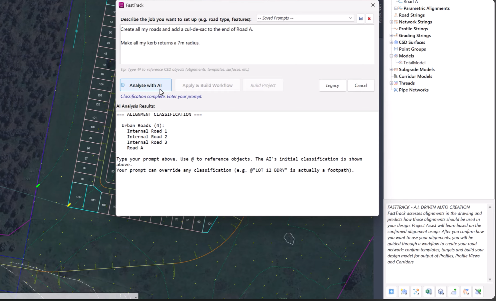
Using AI-powered analysis, FastTrack interprets your project requirements and automatically identifies critical design elements within the drawing.
This removes much of the manual setup traditionally required and helps establish a design-ready model in a fraction of the time.
Automatically Identify Road Centrelines
Road centrelines form the backbone of most civil design projects.
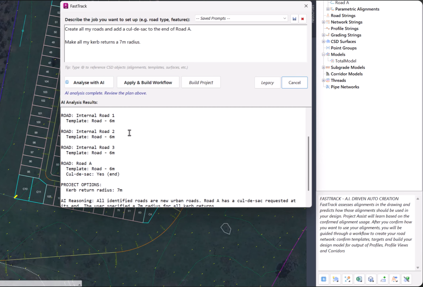
FastTrack can automatically detect and identify road centrelines throughout the project, reducing the need for manual selection and setup.
This not only saves time but also helps establish a consistent foundation for downstream design workflows.
Detect Kerb Returns and Project Boundaries
In addition to identifying road geometry, FastTrack can automatically recognise:
-
Kerb returns
-
Project boundaries
-
Key design extents
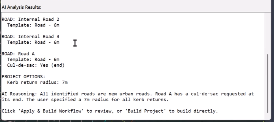
By intelligently identifying these elements, FastTrack helps reduce the amount of repetitive drawing interrogation typically required during project setup.
This enables users to focus on reviewing and refining the proposed setup rather than manually building it from scratch.
Intelligent Cross Section Template Assignment
Once the project layout has been analysed, FastTrack can recommend and assign appropriate cross section templates based on the detected design characteristics.
This provides a significant head start when developing corridor models and helps ensure consistency across the project.
Rather than spending time manually matching templates to individual design elements, users can leverage AI-assisted recommendations and then adjust them as required.
Automation Without Losing Control
While FastTrack dramatically reduces setup time, it has been designed to keep engineers firmly in control of the design process.
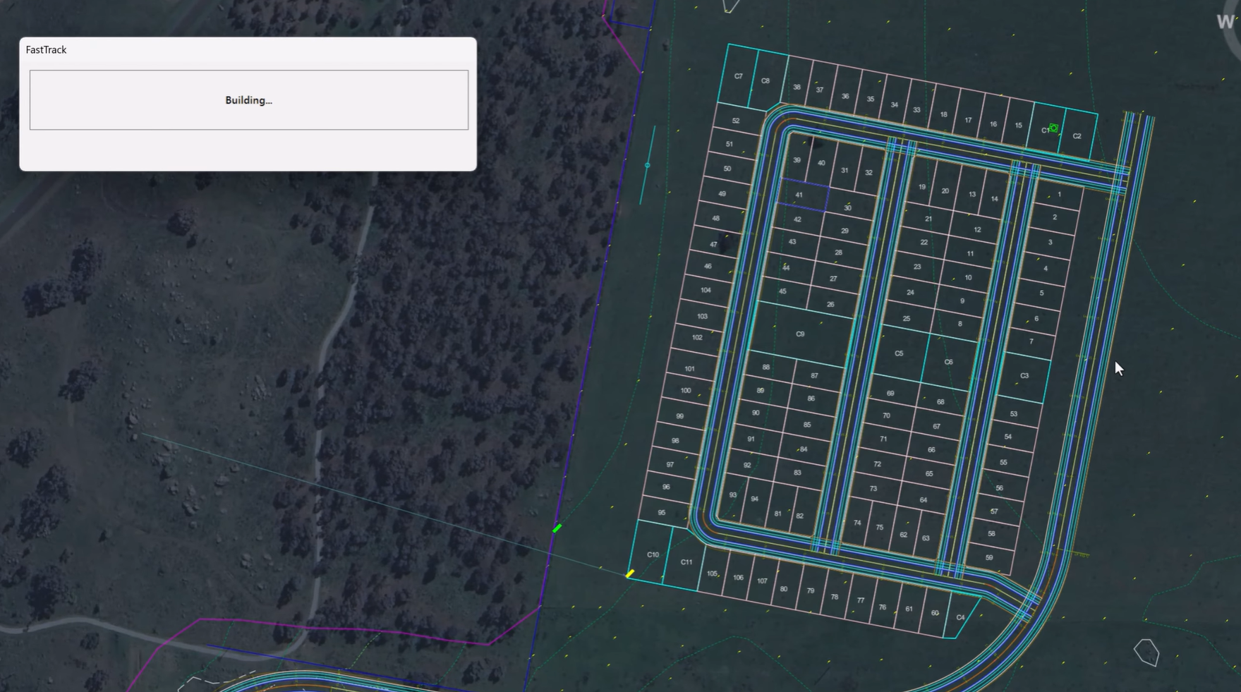
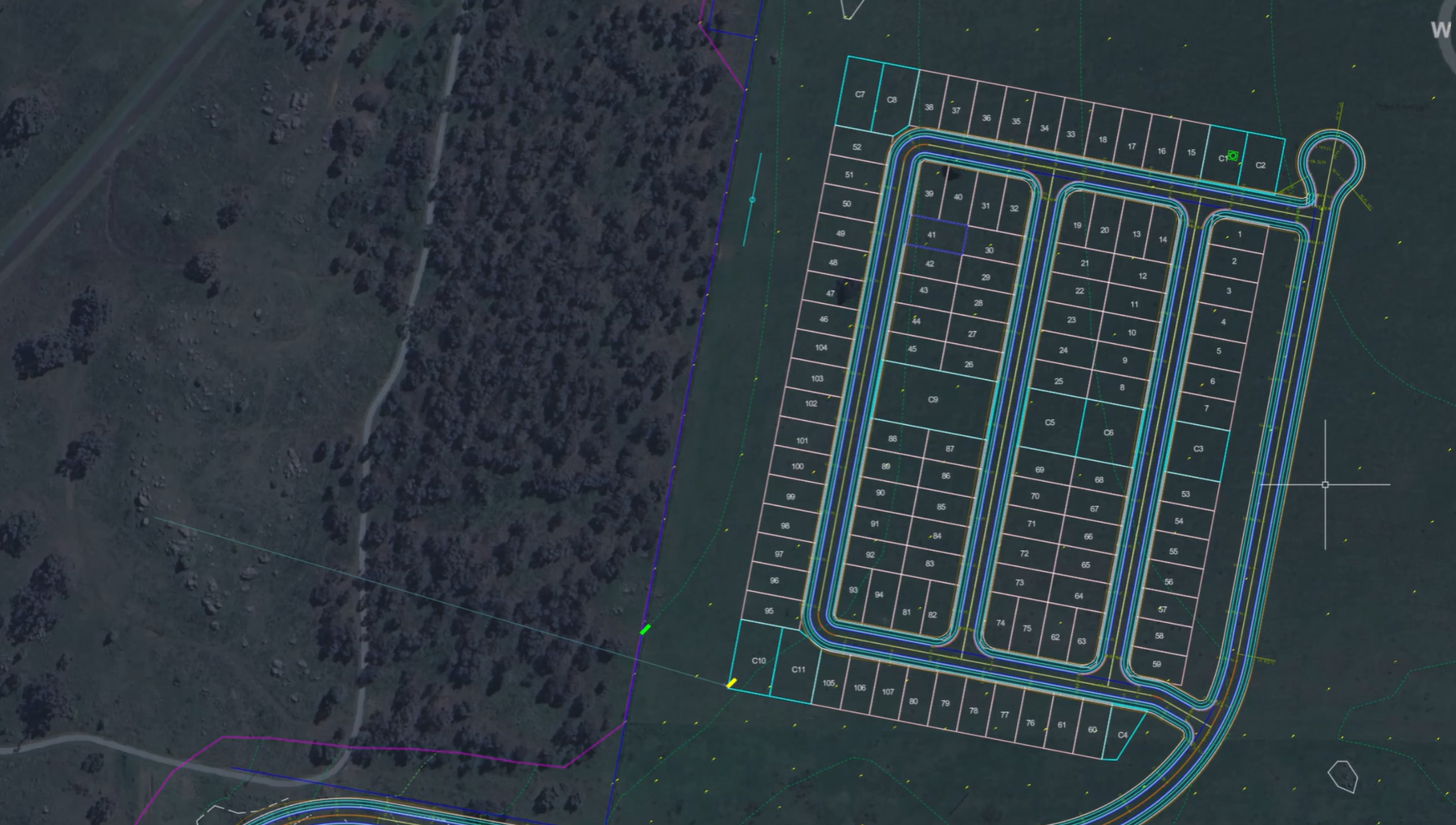
Before any model is built, users can review the proposed workflow, verify detected features, and make adjustments where necessary.
This balance between automation and engineering oversight ensures that projects benefit from increased efficiency without sacrificing design accuracy or flexibility.
Key Benefits of FastTrack
-
AI-powered project setup
-
Automatic road centreline detection
-
Kerb return identification
-
Boundary recognition
-
Intelligent cross section template assignment
-
Reduced repetitive setup tasks
-
Faster transition from concept to design
-
Full review and approval before model creation
Accelerate Your Design Workflow
FastTrack represents a major step forward in automating one of the most labour-intensive phases of civil design.
By intelligently identifying project features and recommending suitable design configurations, FastTrack allows engineers to spend less time preparing projects and more time delivering high-quality outcomes.
Whether you’re working on residential subdivisions, urban roads, or land development projects, FastTrack helps streamline setup, improve consistency, and accelerate project delivery.
Available Now in Civil Site Design and Corridor EZ v27
FastTrack is available as part of Civil Site Design and Corridor EZ v27 and forms an important component of the platform’s expanding suite of AI-powered design tools.
Experience a faster, smarter approach to project setup and discover how FastTrack can help transform the way you begin every project.
We are pleased to announce the release of Stringer ASpec V24.00. This version includes new features and improvements that aim to streamline ASpec data creation within the CAD environment. Stringer ASpec V24.00 is available on the following platforms: AutoCAD 2018 to AutoCAD 2024 BricsCAD V21 to BricsCAD V24 Civil 3D 2018 to Civil 3D 2024 […]
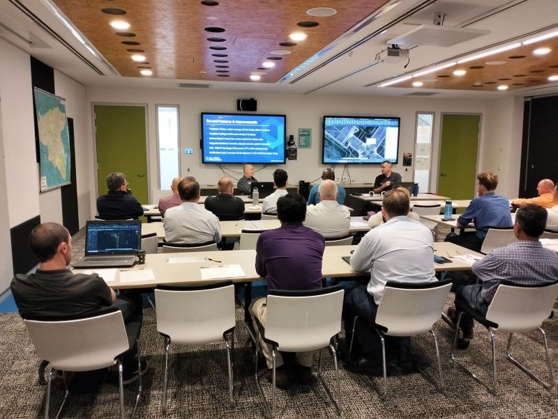
Civil Survey Applications recently hosted the ‘Civil Site Design: Council User Training Day’ in Parramatta, NSW. This complimentary technical training workshop was centred on civil engineering and design for local government users, with a focus on practical application of Civil Site Design features. The agenda was designed to deliver direct value to the attendees through […]
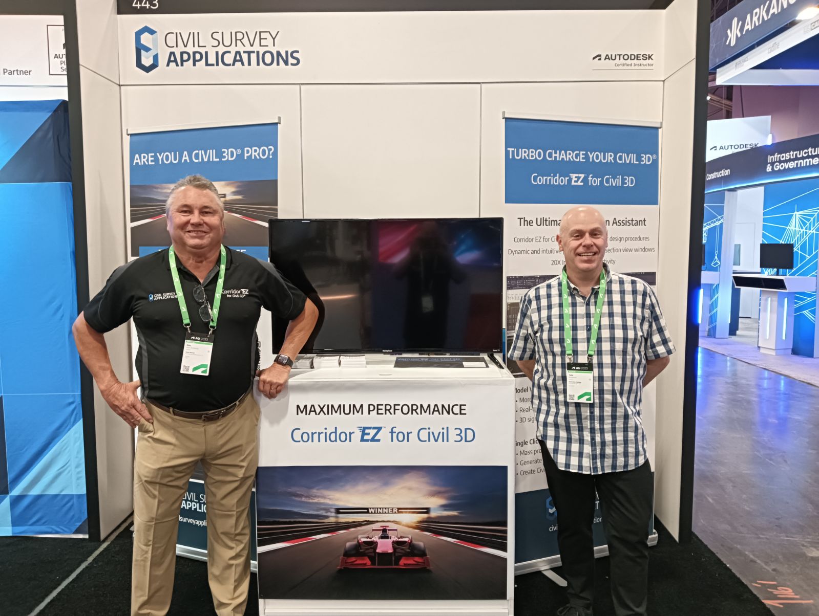
Since releasing Civil Site Design in the USA in 2007, we have experienced constant growth. A technical distributor, Logis LLC, was appointed in 2015, followed by the establishment of Civil Survey Applications LLC in 2019. Located in Florida, the team of 5 including three civil engineers, is committed to customising the software for the US […]