Built models form an integral part of operating Civil Site Design as they combine design elements within the project to create a single model & surface.
Cross section based design can limit designers who want to extend outside a single template and have complex geometry. Model Builder provides the solution.
In this webinar we demonstrate the best practice for using Model Builder and unpack all the functionality to operate it successfully, using a road and parking bay design.
Topics covered:
- 0:00 Introduction
- 9:48 Interface discussion
- 10:25 Review Profile String design for the Parking Bay
- 13:58 Surface Extend
- 18:08 Creating a Model (not linked to Totalmodel)
- 22:57 Creating a Model (linked to Totalmodel)
- 24:42 Edit / Trim by Group or Selection
- 33:23 Overlapping strings or linework
- 42:43 Linework layers
- 45:45 Dynamic Updates or Manual rebuild
- 46:30 Boundary Retraction & Model Editing
- 49:48 Subgrade Model Manager
- 53:45 Plotting cross sections and long sections
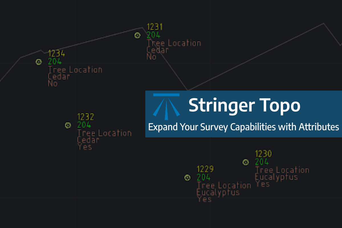
Field attributes provide Surveyors with the ability to include additional data in their Survey pickup of points. With Stringer Topo V26 users can now include additional data (attribute data) with their COGO points and survey strings for review, editing and output from their drawing. There are a number of ways to add attributes to your […]
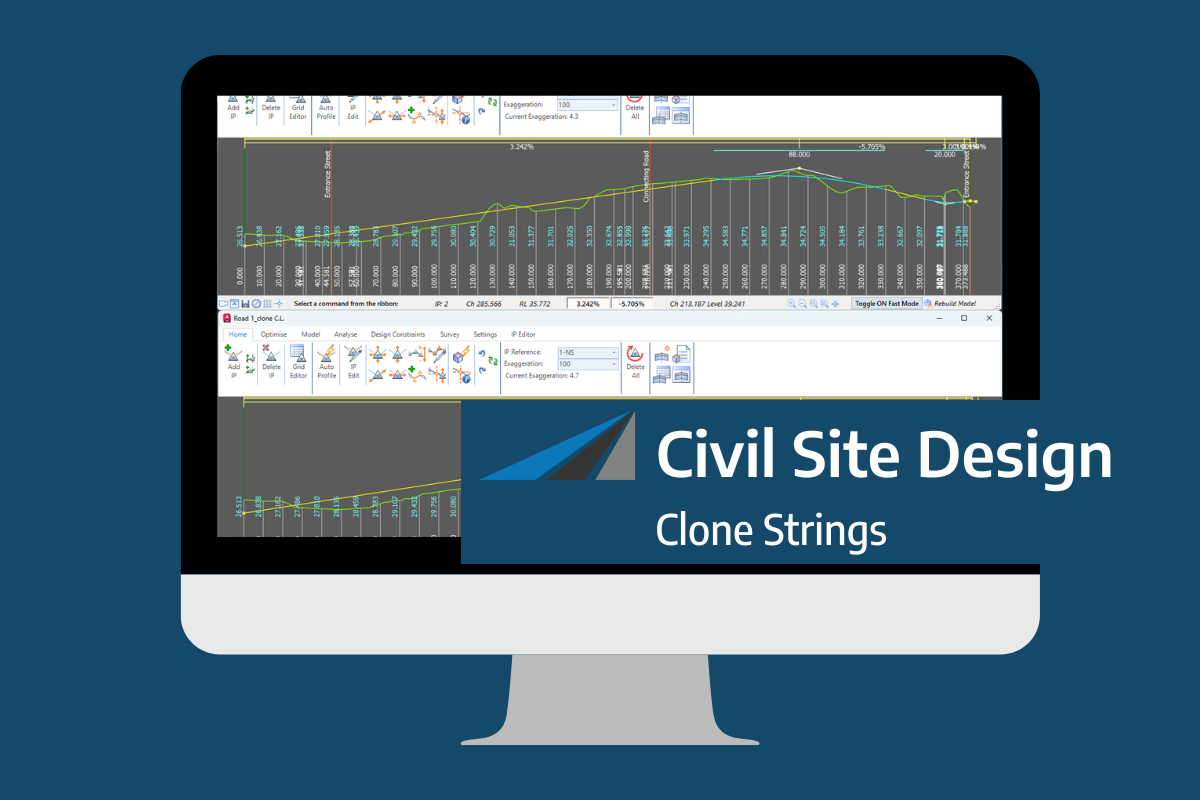
In the Civil Site Design v26 release for AutoCAD and BricsCAD, a new Clone String command has been added. This command allows users to create a clone of an existing string as a profile string including the alignment and vertical profile. This command turns what was a multi-step process into a one step process. You […]
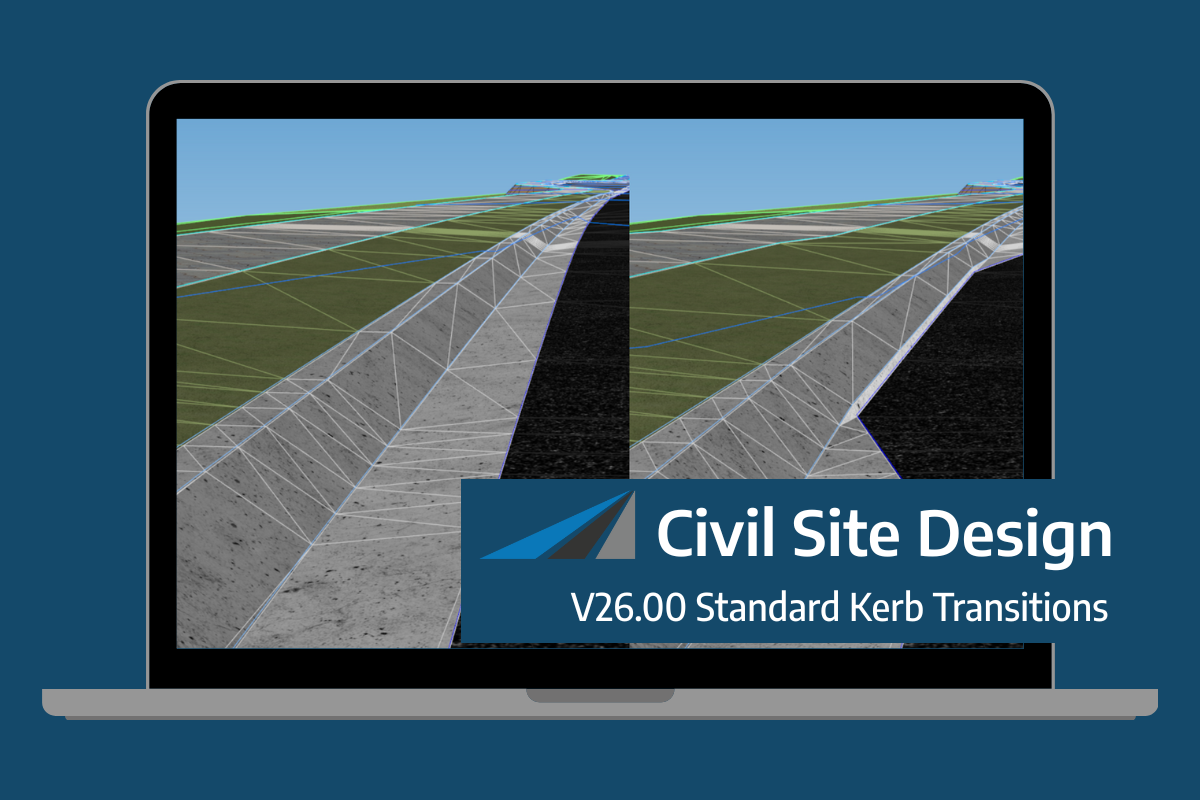
Civil Site Design/Corridor EZ v26 delivers a major upgrade to its Custom Variations functionality with the introduction of Standard Kerb Transitions. Since v25, Custom Variations have been a core feature of Civil Site Design/Corridor EZ, allowing users to apply conditional logic and geometry overrides to cross sections at specified chainages. With v26, this functionality is […]
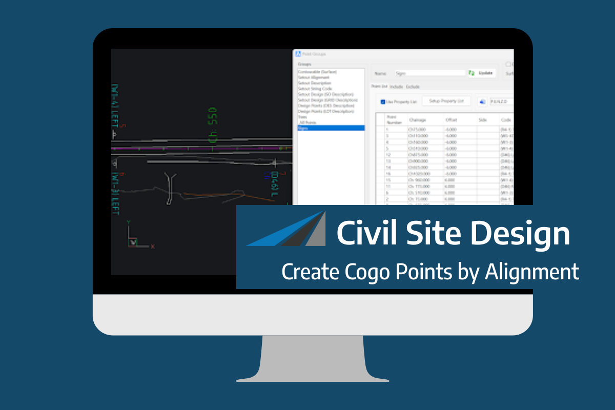
Civil Site Design V26 introduces the new command Import Cogo Point File (by Alignment). This tool allows you to import a file that specifies chainage and offset along an alignment for points to be created. The command is available for Civil Site Design and Stringer across all base platforms. The command can be found at […]


