Viewing height or terrain data on your Civil Site Design & Civil 3D surfaces, is now possible with the new Surface Analysis in Model Viewer.
Found in Toggle Display, users can create quick and simple terrain colouring to view height ranges on surfaces, including design surfaces and models. Using the same technology, Road String slope and crossfall analysis can also be applied to the design.
Found in Model Viewer, the new Catchment Analysis tool has been developed to help users review surface and model data to analyse potential Ponding, Catchment areas and Low Points. With this new technology users are able to quickly assess surfaces and models within the project and determine if surface flows will meet the design requirements.
Model Viewer – Surface Analysis
Model Viewer – Catchment Analysis
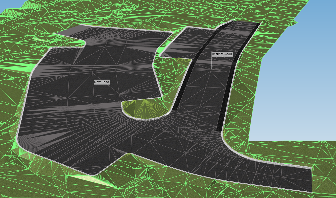
Bulk earthworks play a key part on many projects and determining the volumes can be a time consuming process. Released in Civil Site Design V23.10, the Subgrade Model Manager (SMM) was developed to assist users with creating subgrade surfaces of any model within the project.
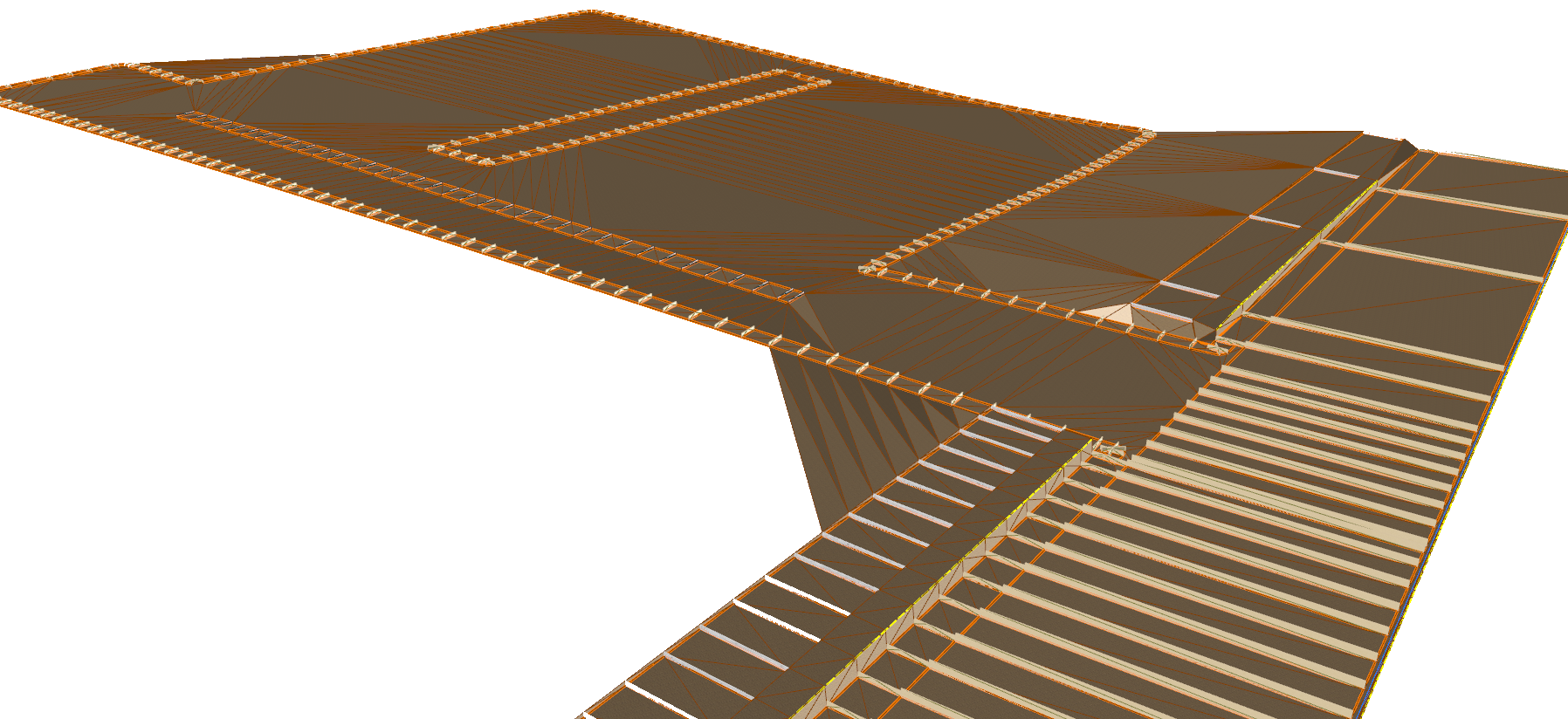
In this webinar we demonstrate the best practice for using Model Builder and unpack all the functionality to operate it successfully, using a road and parking bay design.
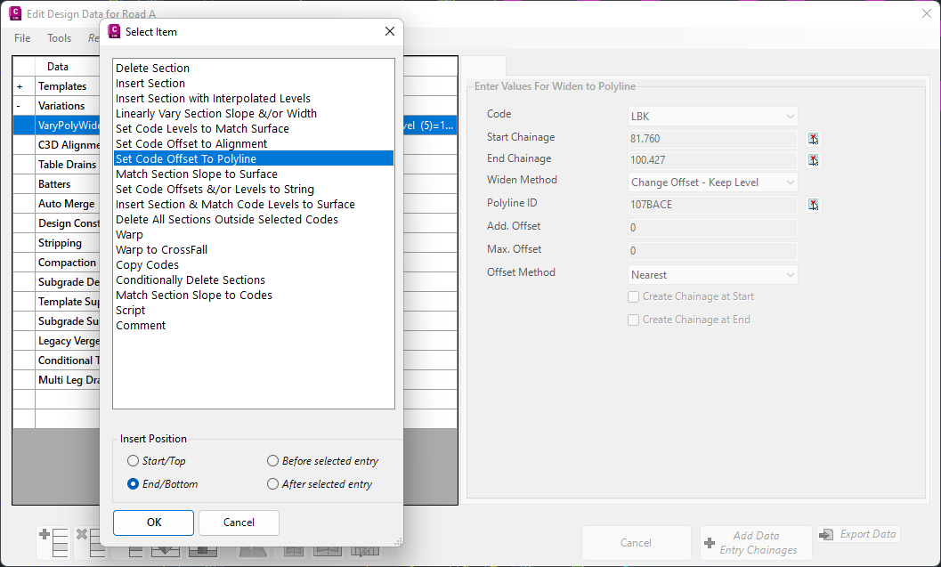
In Civil Site Design V24.10, the Design Data Form has undergone some ergonomic improvements and seen the addition of a new Design Variation – Offset by Polyline.
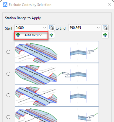
In Civil Site Design V24.10, the Model Builder Edit/Trim by Selection & Group forms received an update which can have a significant impact on selecting sections for trimming models.