Bulk earthworks play a key part on many projects and determining the volumes can be a time consuming process. Released in Civil Site Design V23.10, the Subgrade Model Manager (SMM) was developed to assist users with creating subgrade surfaces of any model within the project.
With the SMM, generating the base surface of any model is automatic with a full set of tools to manually refine layers and extents, all in a live 3D rendered environment. Surface creation is immediate for volume surface comparisons and/or sharing.
In this webinar we demonstrate how to open any models in the SMM, make changes to the subgrade model and create subgrade surfaces.
- 0:00 Introduction & Discussion
- 5:51 Creating & modifying a Subgrade Model
- 9:56 Navigating in the environment
- 11:47 Display Toggles
- 17:25 Display Manager
- 19:48 Omitting & Including Sectional Breaklines
- 24:47 Omitting & Including Linear Breaklines
- 29:10 Surface Resolve
- 32:39 User Breaklines
- 36:30 Splitting Linear Breaklines
- 38:26 Changing templates and Recomputing
- 45:03 Exporting to 3D PDF, dwg & DXF
- 45:24 Exporting 3D Polylines to drawing
- 45:56 Exporting IFC files
- 47:19 Exporting Civil 3D surfaces
- 48:27 Audience Q&A
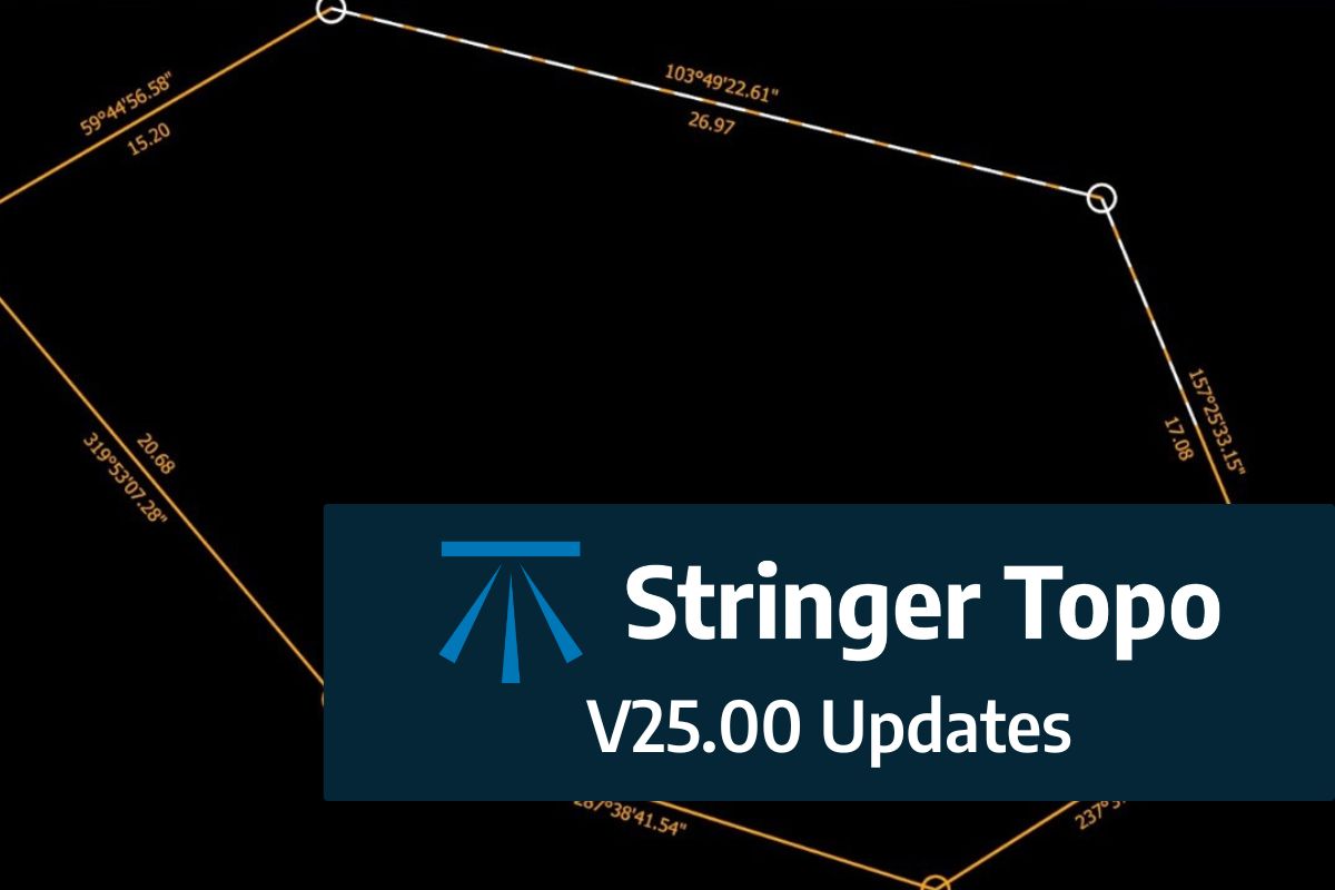
We are pleased to announce the release of Stringer Topo V25.00. This version includes new features and improvements that aim to streamline your surveys within the CAD environment. Stringer Topo V25.00 is available on the following platforms: AutoCAD 2019 to AutoCAD 2025 BricsCAD V22 to BricsCAD V24 Civil 3D 2019 to Civil 3D 2025 Traverse […]
The Stringer Topo V25.00 release will enable access to a Network version. Our adoption of a new Licensing system (QLM) allows us to reintroduce our popular Network version, which has been temporarily unavailable. For Stringer Topo customers who currently have Network licenses on software maintenance, you will be issued new Stringer Topo V25.00 Network license(s) […]


