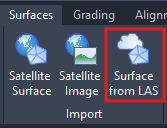
One of the exciting new features in the Civil Site Design V26 and Stringer Topo V26 release is the Surface from LAS command. Often LiDAR and point cloud data is saved as a LAS file, which previously required interpreting in another software prior to being imported to create a surface. This new command allows you to create a CSD surface directly from a LAS file without the need for any other programs. We foresee that this command will be used predominantly by AutoCAD and BricsCAD users, however it is also available to Civil 3D users.
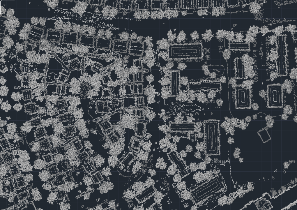
Image: A Civil Site Design surface created from LiDAR data using the new Surface from LAS command
The Surface from LAS command is available in the Surfaces tab of the Ribbon and in the CSD Toolspace by right clicking on Surfaces. When you run the command, you will first be prompted to locate the LAS file you wish to import.
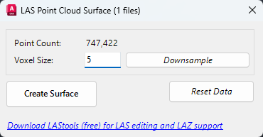
Image: Surface from LAS form
Next you have the option to downsample the data intelligently using voxel downsampling. This can reduce the total number of points being imported while maintaining a good representation of the original data and reducing the time and processing required to create and display the surface. The smaller the voxel size applied, the more points will remain.
Click Create Surface and give the new surface a name to create your Surface from LAS. If you receive an updated LAS file, you can repeat the import process and choose to update the LAS surface rather than create a new one.

Adaptive Decimate | Managing Large Surfaces
If you choose not to downsample when importing your LAS surface, the CSA surface engine may apply Adaptive Decimation. Very large input data files can exceed hardware limitations when processing the surface triangulation. Adaptive Decimate addresses this problem by detecting when the number of points could result in software instability and filters out points before creating the TIN surface.
To do this, Adaptive Decimate divides the surface into rectangular cells and assesses the elevation variation within the cell. If the elevation changes are small, this means the cell is relatively flat and the overall shape of the cell can be maintained with just four points in the outer corners. If the elevation variation is high, the cell is divided and checked again. The result is that the overall shape and accuracy of the surface is maintained whilst reducing the volume of data, to create an optimised surface with improved system performance.
If you are currently using Legacy Stringer Topo and are interested in transitioning to the new dynamic version of Stringer Topo – but are concerned about migrating your current settings? These webinars will walk you through how easy the transition is and the workflow of transferring settings from Legacy Stringer to the current version based […]

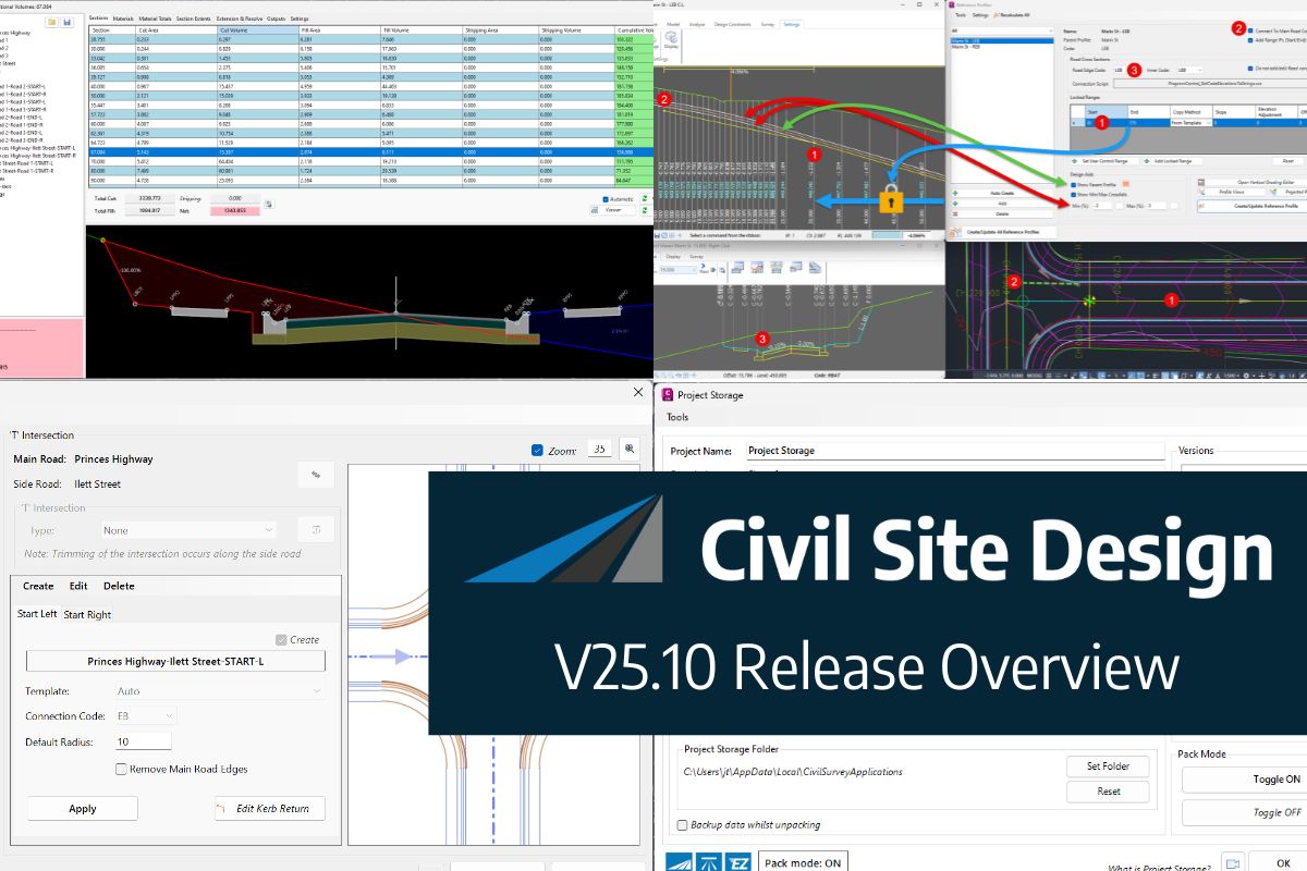
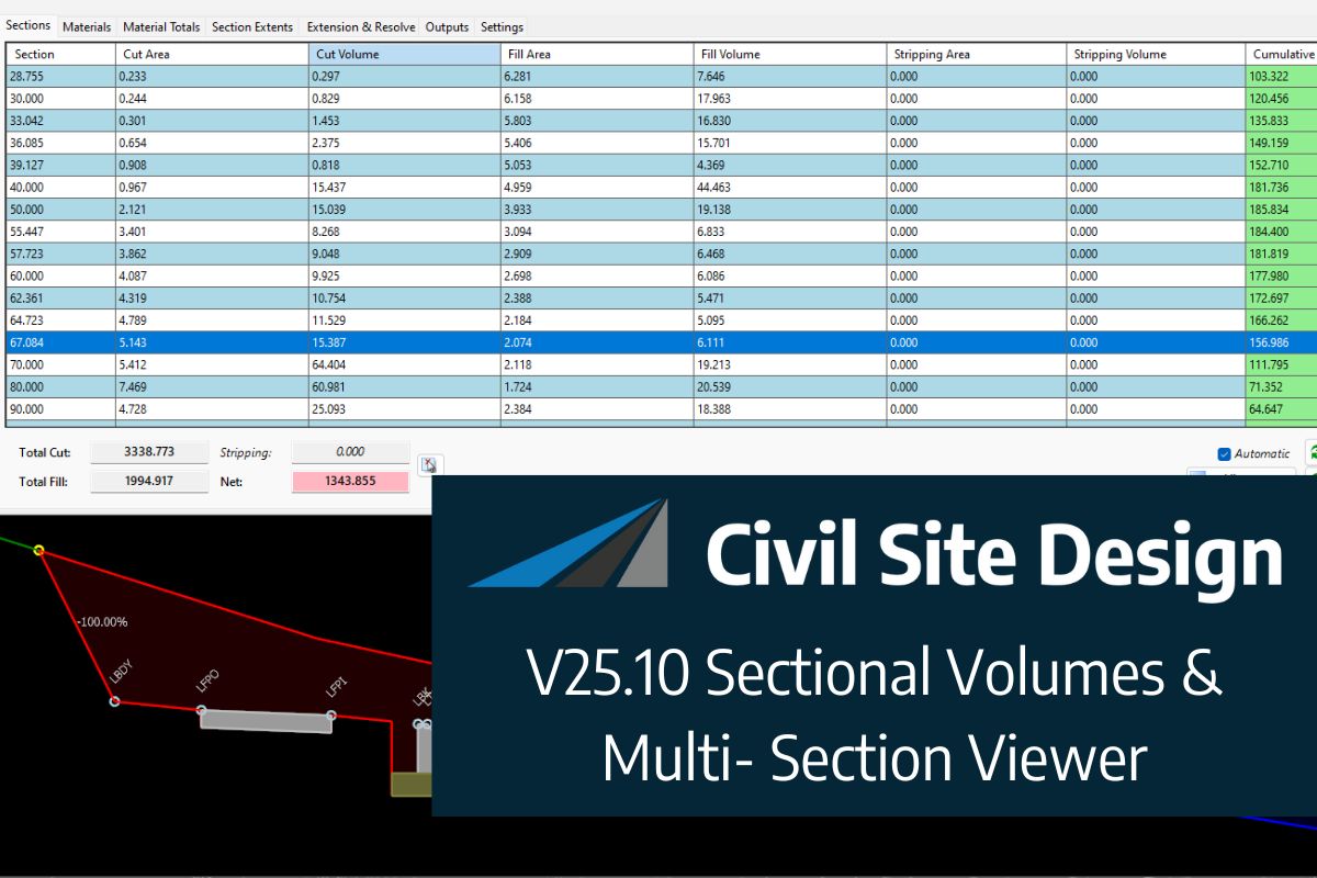
In this webinar, join our experts, Todd Brewster and Jonathan Taylor as they unpack some of the major updates within Civil Site Design V25.10. 0:00 Introduction 5:08 Project Storage 24:48 Intersection Manager 36:50 Sectional Volumes & Multi Viewer 54:16 Reference Profiles 1:12:19 Projected Profiles (Civil 3D only) Key features and improvements of Civil Site Design […]