“Civil Site Design: A Year in Review and a Glimpse into the Future,” recording is now available. We have dived into the transformative developments of the past year and shared some plans for the upcoming version V25.
This session was led by one of our software developers, Andrew Banson, showcased the major enhancements and new features added to Civil Site Design, including the new toolspace, high DPI monitor support (4K), and the introduction of the ScriptX language.
It also explores significant improvements in areas like Model Builder, Superelevation, Section Lists, Template Editor, Pack Mode, and general performance enhancement.
If you are a Civil Site Design user, we highly recommend taking some time to watch this if you didn’t attend the live webinar.
0:00 Introduction
0:01 Presentation
9:00 Toolspace
11:53 Template Packing
13:30 Design Data Form
17:40 Script X
28:00 Model Builder
32:55 Subgrad Model Manager
34:50 Performance
38:28 Pack Mode
41:30 Survey String Manager
44:30 Superelevation
49:10 Model Viewer Analysis
52:20 Civil 3D Export

Field attributes provide Surveyors with the ability to include additional data in their Survey pickup of points. With Stringer Topo V26 users can now include additional data (attribute data) with their COGO points and survey strings for review, editing and output from their drawing. There are a number of ways to add attributes to your […]
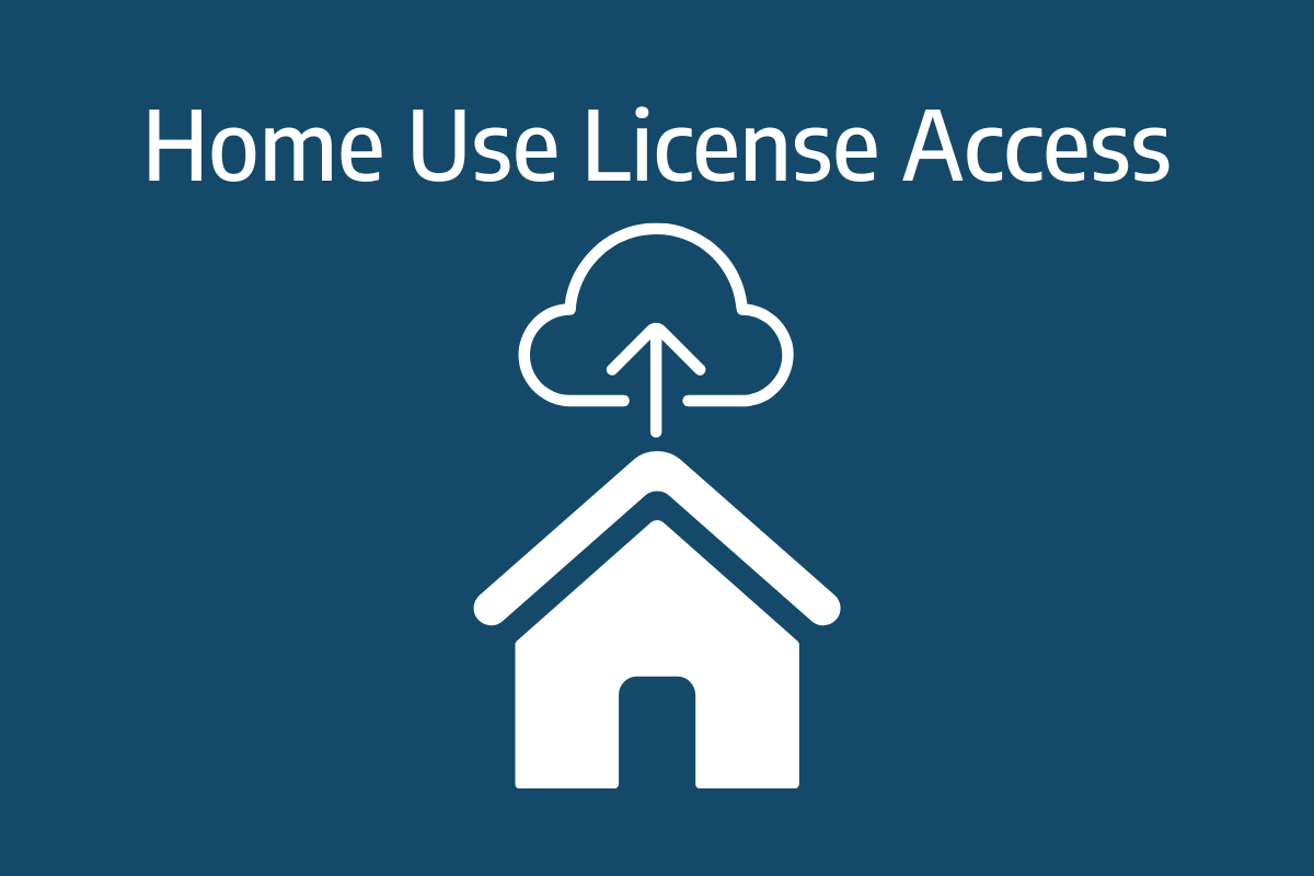
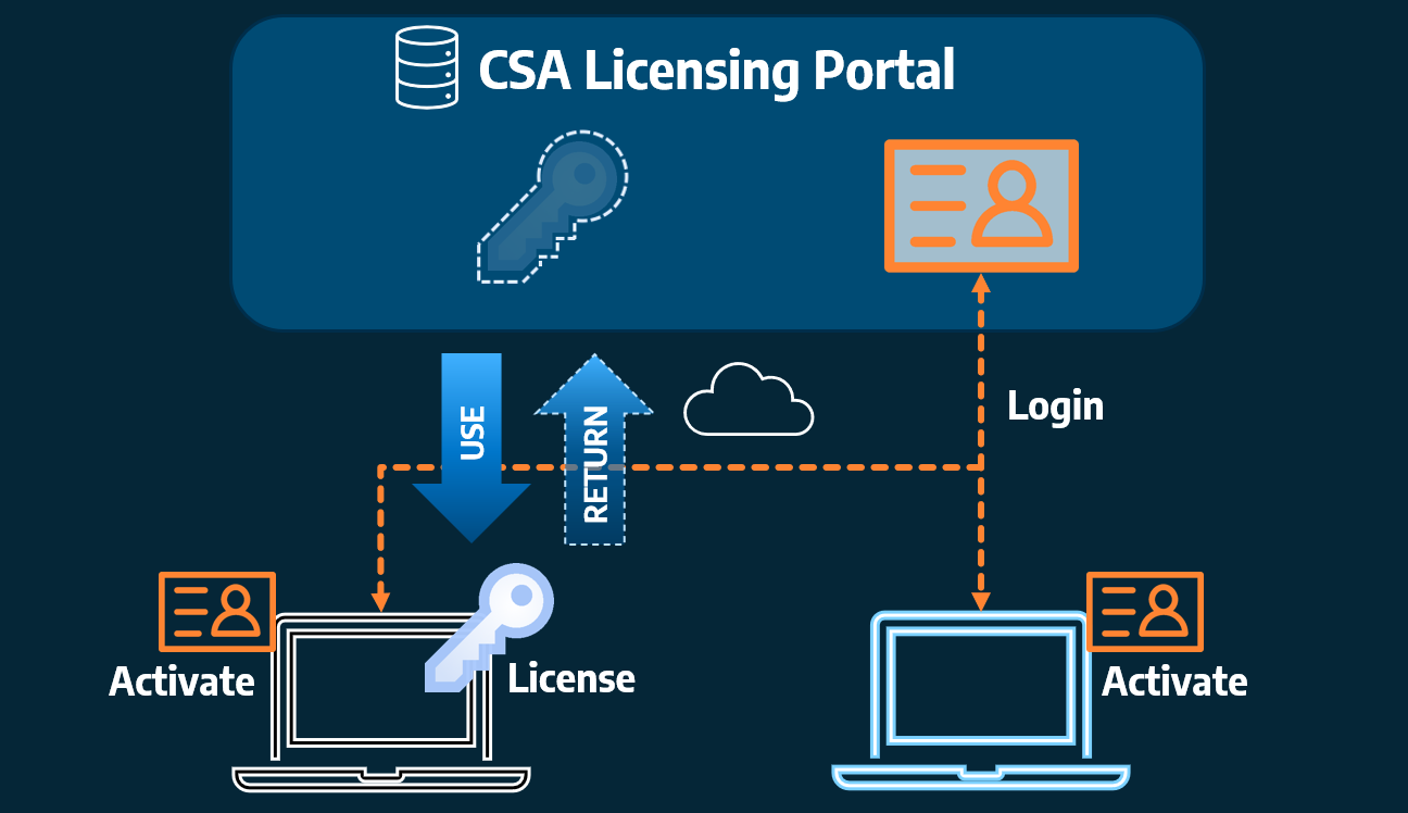
Home Use Licensing was provided to customers to support access to a single license from two computers, to support non-concurrent office and home use of the software. Prior to the release of our V26 licensing models, Home Use License access was provided via the issuing of two license keys: one for office use and one […]