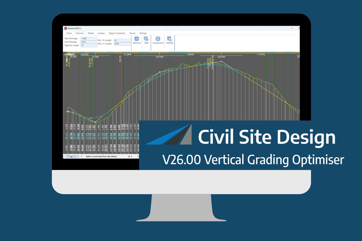
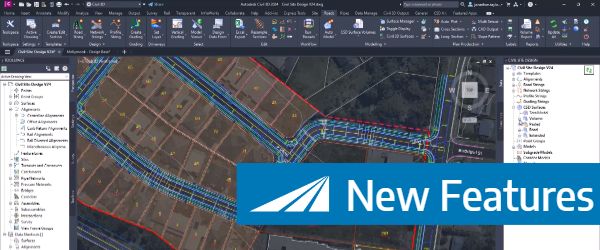
Civil Survey Applications2025-07-24T04:32:56+00:00Civil Site Design and Corridor EZ Vertical Grading OptimizerCivil Survey Applications2025-07-24T04:32:56+00:00June 5th, 2025|
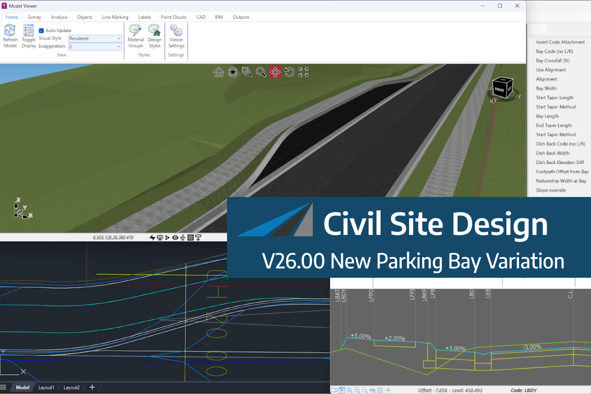
Civil Survey Applications2025-07-01T22:55:39+00:00Civil Site Design V26 | New Parking Bay VariationCivil Survey Applications2025-07-01T22:55:39+00:00June 5th, 2025|
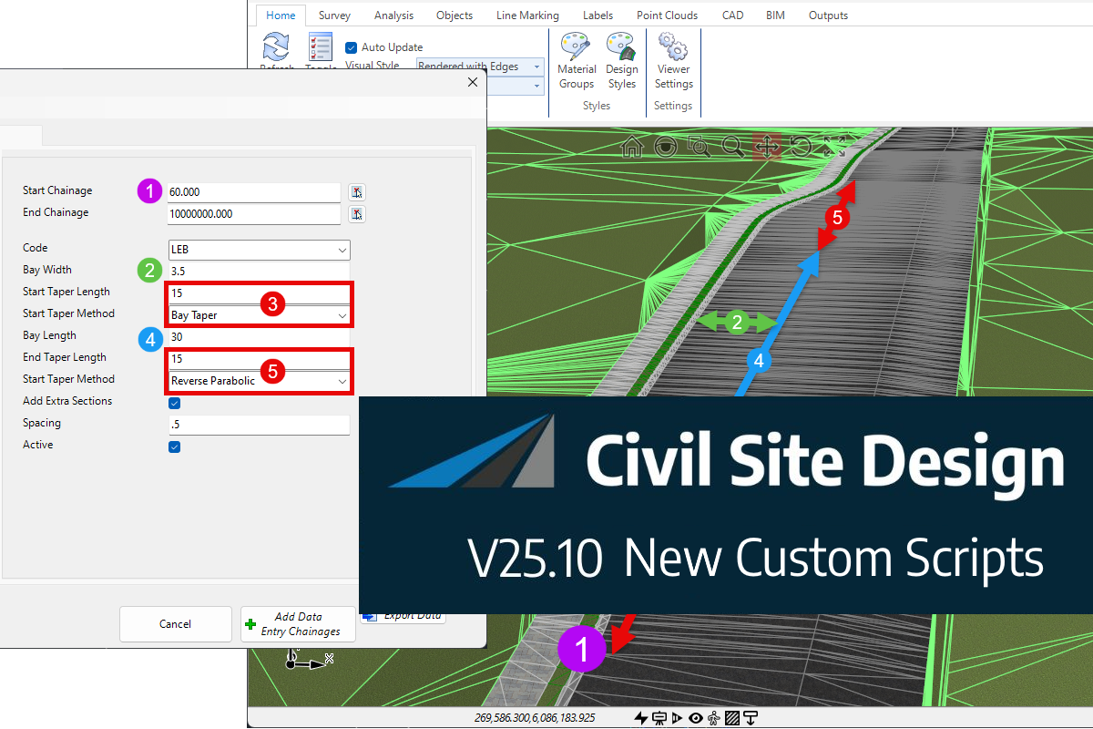
Shane ORorke2024-12-18T20:16:23+00:00Civil Site Design V25.10 | ScriptX – Latest AdditionsShane ORorke2024-12-18T20:16:23+00:00December 18th, 2024|
Civil Survey Applications2024-12-17T00:07:32+00:00Watch Now: Civil Site Design V25.10 Features WebinarCivil Survey Applications2024-12-17T00:07:32+00:00December 17th, 2024|
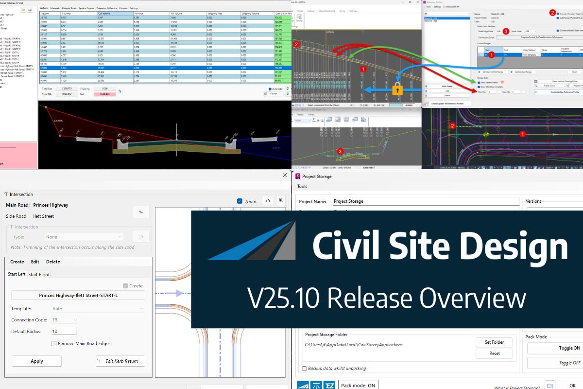
Shane ORorke2024-11-28T03:51:53+00:00Civil Site Design V25.1 | Release OverviewShane ORorke2024-11-28T03:51:53+00:00November 27th, 2024|
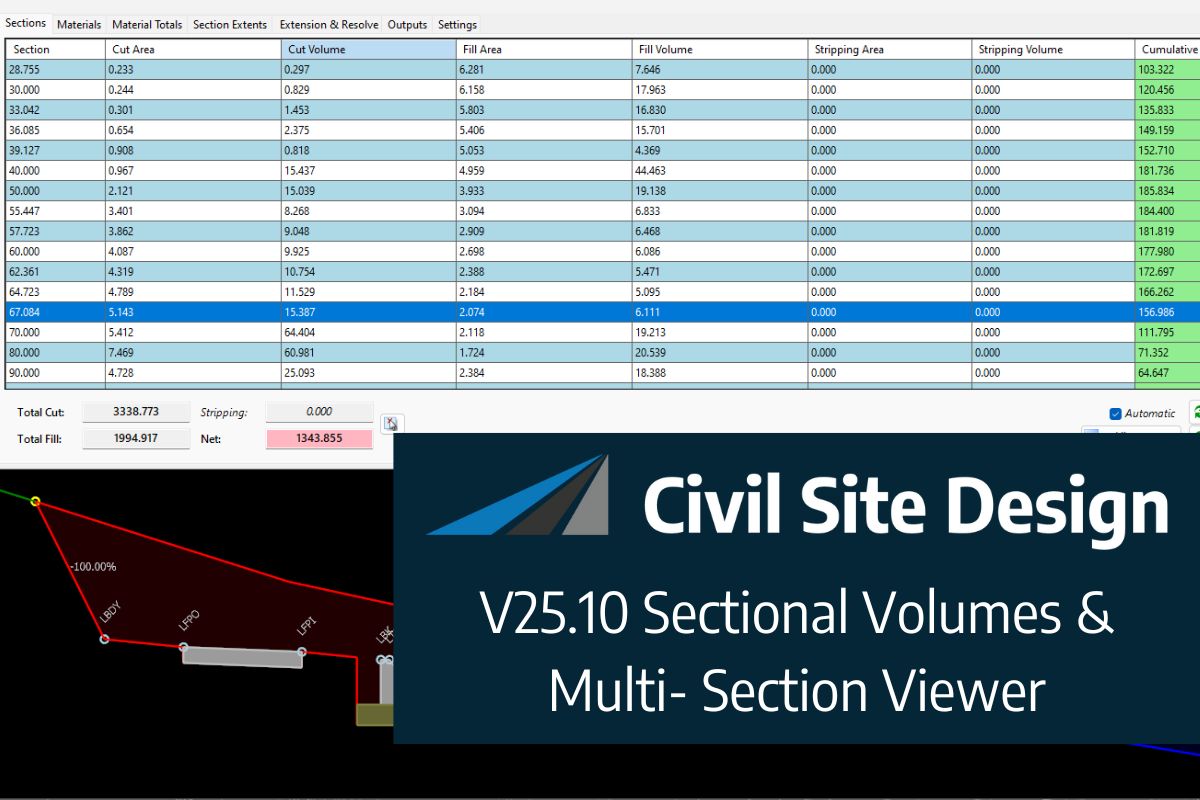
Jonathan Taylor2024-11-27T22:34:36+00:00Civil Site Design V25.1 | Sectional Volumes & Multi-Section ViewerJonathan Taylor2024-11-27T22:34:36+00:00November 27th, 2024|
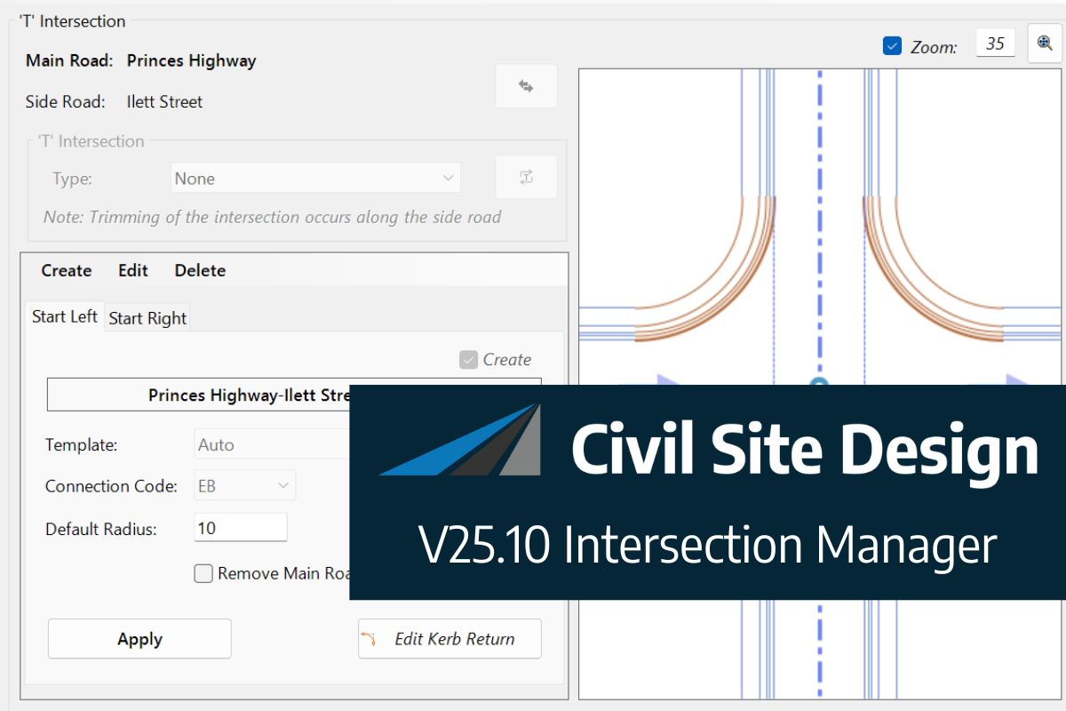
Jonathan Taylor2024-11-27T22:34:30+00:00Civil Site Design V25.1 | Intersection ManagerJonathan Taylor2024-11-27T22:34:30+00:00November 27th, 2024|
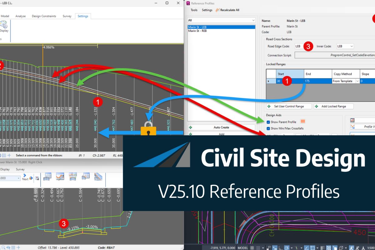
Shane ORorke2024-11-29T00:00:35+00:00Civil Site Design V25.1 | Reference ProfilesShane ORorke2024-11-29T00:00:35+00:00November 27th, 2024|
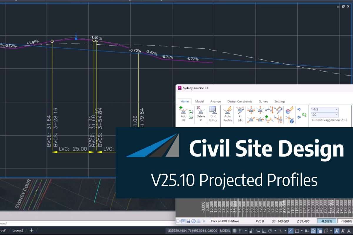
Shane ORorke2024-11-29T00:03:45+00:00Civil Site Design V25.1 | Projected ProfilesShane ORorke2024-11-29T00:03:45+00:00November 27th, 2024|
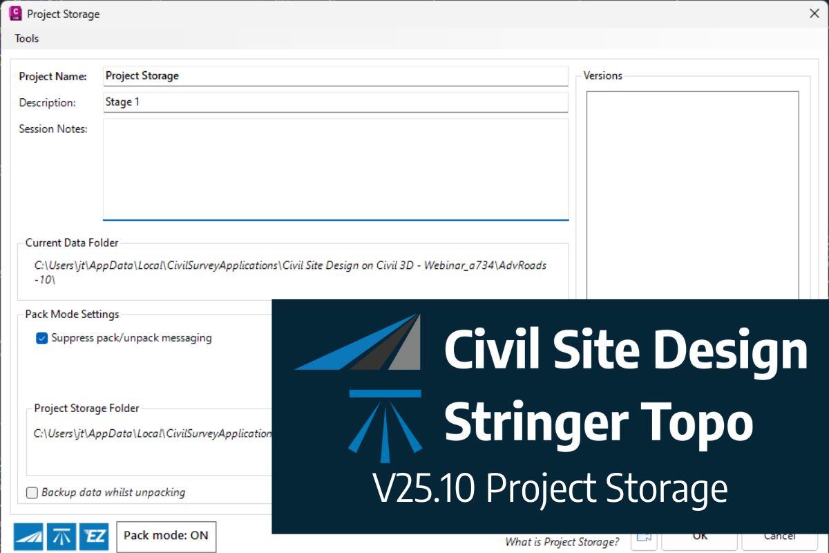
Jonathan Taylor2024-11-27T23:14:36+00:00V25.1 | Project Storage For Civil Site Design and Stringer TopoJonathan Taylor2024-11-27T23:14:36+00:00November 20th, 2024|
Civil Survey Applications2024-05-16T06:15:48+00:00Introducing Our New Licensing SystemCivil Survey Applications2024-05-16T06:15:48+00:00May 16th, 2024|
Jonathan Taylor2024-11-27T05:17:53+00:00Civil Site Design V25 | ReleaseJonathan Taylor2024-11-27T05:17:53+00:00May 16th, 2024|
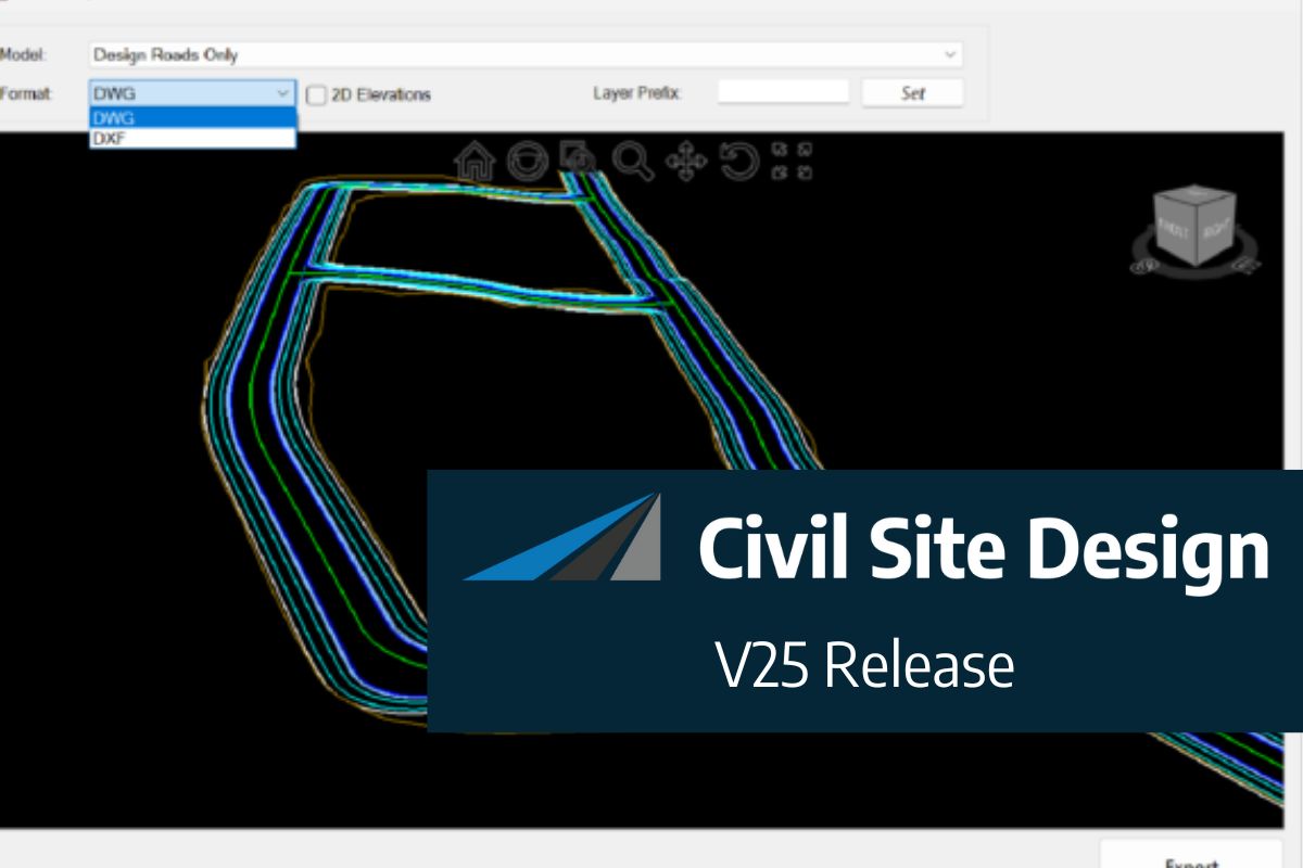
Jonathan Taylor2024-11-27T05:19:54+00:00Civil Site Design V25 | Export Surface & ModelJonathan Taylor2024-11-27T05:19:54+00:00May 16th, 2024|
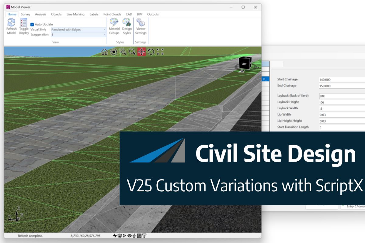
Jonathan Taylor2024-11-27T05:20:37+00:00Civil Site Design V25 | Custom Variations with ScriptXJonathan Taylor2024-11-27T05:20:37+00:00May 16th, 2024|
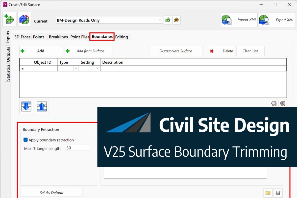
Jonathan Taylor2024-11-27T05:21:12+00:00Civil Site Design V25 | Surface Boundary TrimmingJonathan Taylor2024-11-27T05:21:12+00:00May 16th, 2024|
Jack Haughton2024-05-16T04:12:14+00:00Stringer Topo V25.00 ReleaseJack Haughton2024-05-16T04:12:14+00:00May 16th, 2024|
Jack Haughton2024-05-16T04:13:07+00:00Stringer Topo V25.00 Release launches new Network versionJack Haughton2024-05-16T04:13:07+00:00May 16th, 2024|
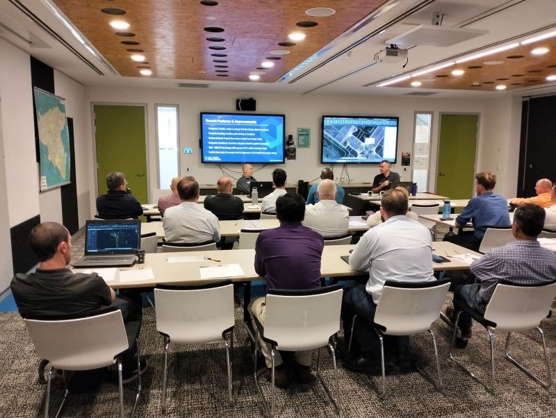
Andrew Banson2024-02-21T22:53:06+00:00Webinar Recording: Civil Site Design – A Year in Review and a Glimpse into the FutureAndrew Banson2024-02-21T22:53:06+00:00February 21st, 2024|
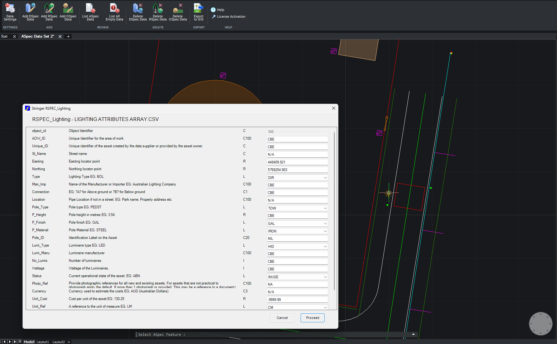
Jack Haughton2024-02-21T22:34:03+00:00Stringer ASpec V24.00 ReleaseJack Haughton2024-02-21T22:34:03+00:00December 21st, 2023|
Civil Survey Applications2023-12-13T06:40:05+00:00NSW Council User Training Day – Civil Site DesignCivil Survey Applications2023-12-13T06:40:05+00:00December 13th, 2023|
Civil Survey Applications2023-12-13T06:40:13+00:00Civil Survey Applications International UpdateCivil Survey Applications2023-12-13T06:40:13+00:00December 13th, 2023|
Shane ORorke2023-10-27T11:30:31+00:00Corridor Performance Improvements | Civil Site Design and Corridor EZShane ORorke2023-10-27T11:30:31+00:00October 27th, 2023|
Shane ORorke2023-10-27T11:30:55+00:00Speeding up Design | Civil Site Design V24.20Shane ORorke2023-10-27T11:30:55+00:00October 27th, 2023|
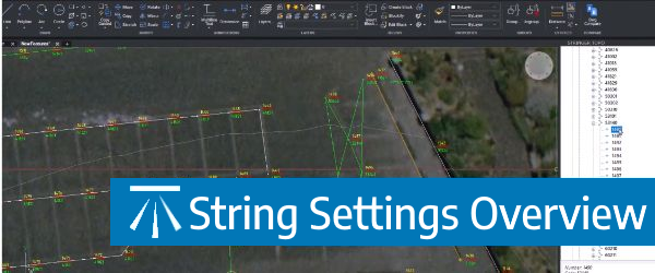
Shane ORorke2023-10-27T06:06:20+00:00Quick Overrides in Survey String Settings | Stringer TopoShane ORorke2023-10-27T06:06:20+00:00October 25th, 2023|